| |
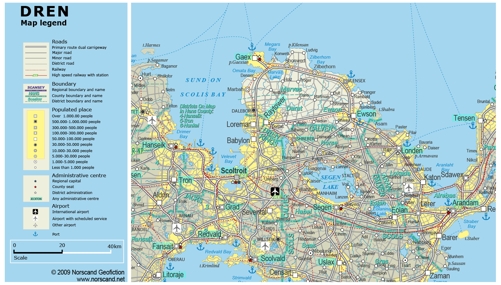
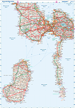
| General map (1674x952, 0.35 mb) |
 |
| |
|
|
| Flag |
Coat of Arms |
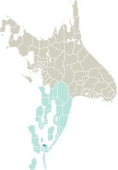
Location |
 |
 |
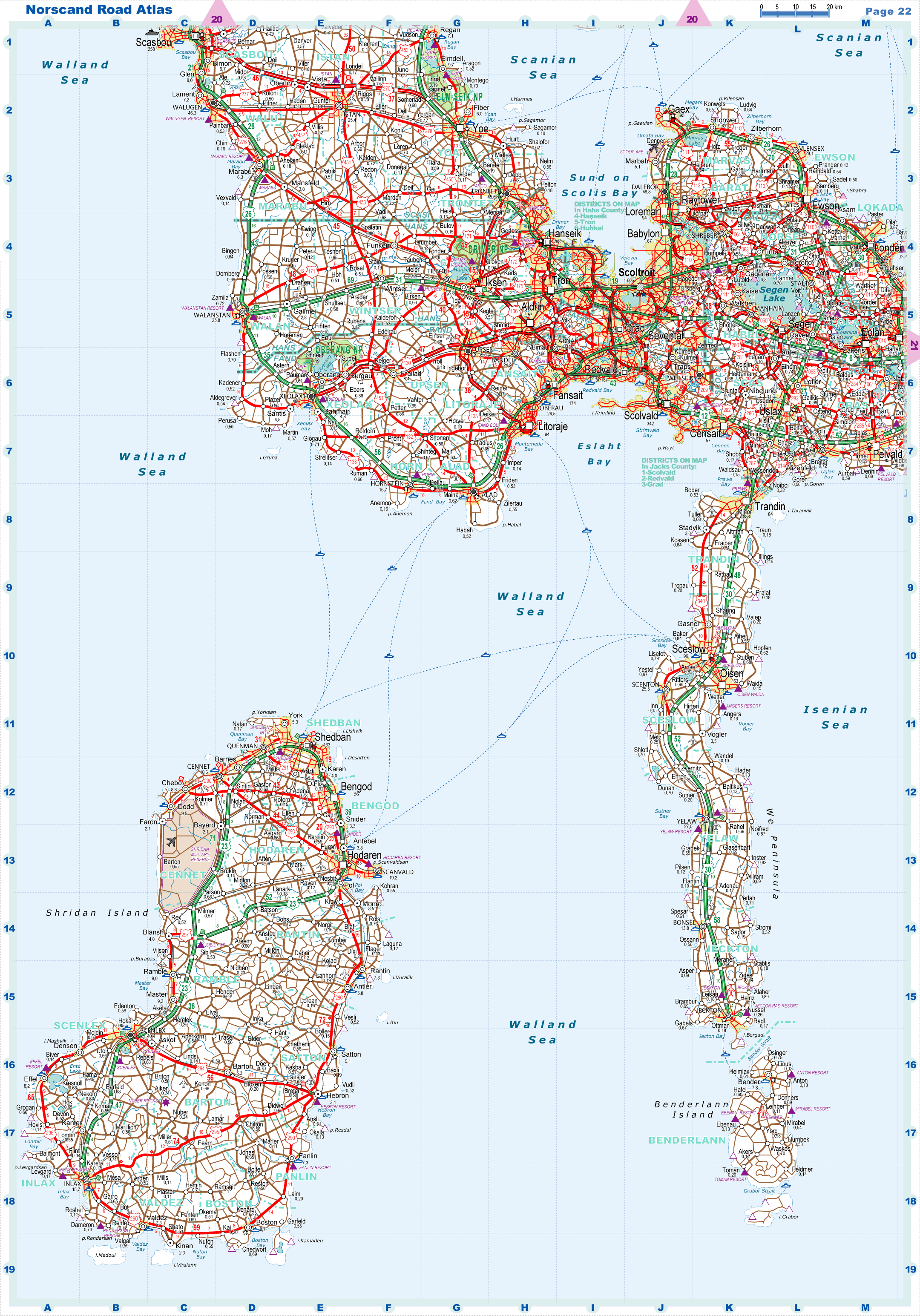
| Road maps for this area |
 |
|
| |
|
| Location |
Southern Garand |
| Area |
 Continental Continental |
1 298 sq.km |
| Isles |
15 sq.km |
| Water bodies |
26 sq.km |
| Total |
1 339 sq.km |
| Rank in Garand |
31 of 35 |
| Rank in Norscand |
95 of 103 |
| Size comparision |
X |
| Boundaries |
| Land |
197 km |
| Coastal (w/o isles) |
72 km |
| Population |
| Total |
313 990 |
| Rank in Garand |
34 of 35 |
| Rank in Norscand |
59 of 103 |
| 5 Largest towns |
| Gaex |
94 930 |
| Ewson |
59 106 |
| Raytower |
53 456 |
| Dalebor |
48 834 |
| Vlensex |
28 112 |
| Administrative division |
| # of districts |
3 |
| County seat |
Gaex |
| Transportation |
| Roadways: |
|
| Total length (paved, basic network) |
1 078km |
| Expressways |
155km |
| Road density |
0,81 km/sq.km |
| Share of expw |
14% |
| Railways |
|
| Total length |
156km |
| High-Speed Lines |
0 km |
| Airports |
|
| Total |
3 |
| Sched.service |
0 |
| Seaports |
|
| Total |
3 |
| |
|
|
|