| |
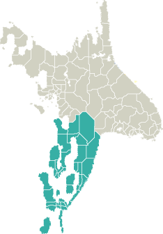
 Garand consists of 35 counties. Garand consists of 35 counties.
To see maps of counties and cities choose one of them:
or see
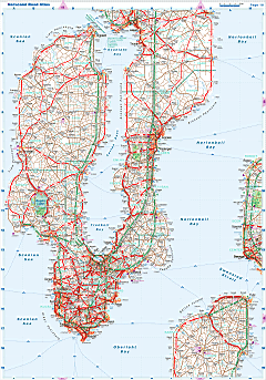
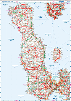
 General Map of Garand (includes map insets of administrative division, population density, road distances chart, capital region, index of counties and districts). General Map of Garand (includes map insets of administrative division, population density, road distances chart, capital region, index of counties and districts).
|
|
| Flag |
Coat of Arms |
Location |
 |
 |

|
| Location |
South Norscand |
| Area |
 Continental Continental |
219 795 sq.km |
 Isles Isles |
24 224 sq.km |
 Water bodies Water bodies |
7 245 sq.km |
 Total Total |
251 264 sq.km |
| Rank in Norscand |
3 of 4 |
| Size comparision |
United Kingdom |
| Boundaries |
 Land Land |
530 km |
 Coastal (w/o isles) Coastal (w/o isles) |
9 100 km |
| Population |
 Total Total |
22 886 000 |
| Rank in Norscand |
1 of 4 |
| 5 Largest towns |
 Scoltroit Scoltroit |
1 606 000 |
 Swengai Swengai |
580 000 |
 Redsait Redsait |
359 000 |
 Scolvald Scolvald |
342 000 |
 Hanseik Hanseik |
289 000 |
| Administrative division |
 # of counties # of counties |
35 |
 # of districts # of districts |
287 |
 Region capital Region capital |
Scoltroit |
| Transportation |
| Roadways: |
|
 Total length (paved, basic network) Total length (paved, basic network) |
143 898 km |
 Expressways Expressways |
13 094 km |
 Road density Road density |
0,57 km/sq.km |
 Share of expw Share of expw |
9% |
| Railways |
|
 Total length Total length |
16 021 km |
 High-Speed Lines High-Speed Lines |
2 059 km |
| Airports |
|
 Total Total |
215 |
 Sched.service Sched.service |
33 |
| Seaports |
|
 Total Total |
219 |
 |
|
 |
 |
|
|
