| |
 Norscand is divided into 4 regions. Norscand is divided into 4 regions.
To see maps of regions, their counties and cities choose one of them:
or see
 General Map of Norscand and others General Map of Norscand and others
|
|
| Flag |
Coat of Arms |
Location |
 |
 |

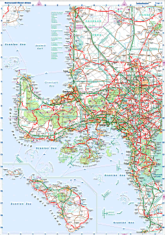
| Road atlas of Norscand |
 |
| |
| |
|
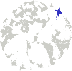
| Location |
Northeastern Gorwort |
| Area |
 Continental Continental |
948 463 sq.km |
 Isles Isles |
32 979 sq.km |
 Water bodies Water bodies |
53 634 sq.km |
 Total Total |
1 029 329 sq.km |
| Size comparision |
Twice Spain |
| Boundaries |
 Land Land |
0 km |
 Coastal (w/o isles) Coastal (w/o isles) |
23 800 km |
| Population |
 Total Total |
52 364 300 |
| 10 Largest cities |
 Gramen Gramen |
2 531 632 |
 Scoltroit Scoltroit |
1 606 000 |
 Yordam Yordam |
1 159 500 |
 Grenlinn Grenlinn |
831 182 |
 Wallensen Wallensen |
817 426 |
 Walden Walden |
587 770 |
 Pentlan Pentlan |
583 200 |
 Swengai Swengai |
580 000 |
 Rodettl Rodettl |
483 642 |
 Lort Lort |
444 514 |
| Largest metro areas (over 1 mio) |
 Gramen Gramen |
4 773 329 |
 Scoltroit Scoltroit |
3 073 020 |
 Yordam Yordam |
1 721 851 |
 Wallensen Wallensen |
1 547 828 |
 Jansen Jansen |
1 524 532 |
 Redsait Redsait |
1 376 726 |
 Galboil Galboil |
1 162 879 |
 Arandam Arandam |
1 159 003 |
 Swengai Swengai |
1 154 260 |
 Grenlinn Grenlinn |
1 152 373 |
 Walden Walden |
1 059 572 |
| Administrative division |
 # of regions # of regions |
4 |
 # of counties # of counties |
103 |
 # of districts # of districts |
659 |
 # of municip. # of municip. |
6 293 |
 National capital National capital |
Gramen |
| Transportation |
| Roadways: |
|
 Total length (paved, basic network) Total length (paved, basic network) |
271 343 km |
 Expressways Expressways |
34 547 km |
 Road density Road density |
0,26 km/sq.km |
 Share of expw Share of expw |
13% |
| Railways |
|
 Total length Total length |
39 713 km |
 High-Speed Lines High-Speed Lines |
3 425 km |
| Airports |
|
 Total Total |
413 |
 Sched.service Sched.service |
80 |
| Seaports |
|
 Total Total |
430 |
 |
|
|
|
 ,.
,.