| |
 Tronlad consists of 27 counties. Tronlad consists of 27 counties.
To see maps of counties and cities choose one of them:
or see
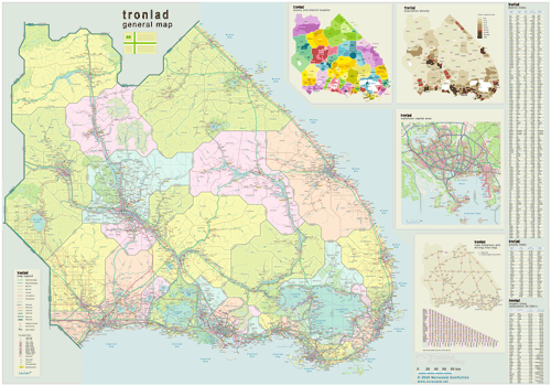
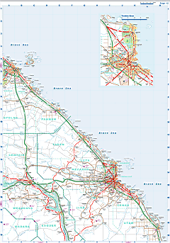
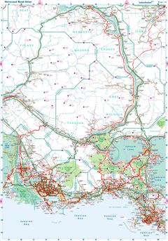
 General Map of Tronlad (includes map insets of administrative division, population density, road distances chart, capital region, index of counties and districts). General Map of Tronlad (includes map insets of administrative division, population density, road distances chart, capital region, index of counties and districts).
| General map (6140x4294, 10.91 mb) |
 |
| |
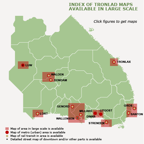
Index map
(Click area on picture to get detailed map) |
|
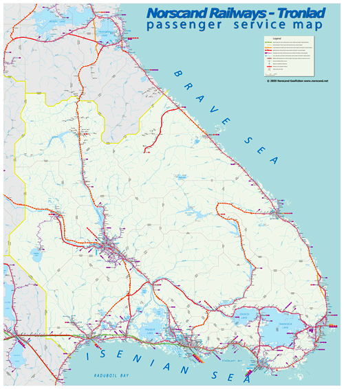
Tronlad Railway Passenger Service Map (6238x7062, 2.5 mb) |
 |
|
|
| Flag |
Coat of Arms |
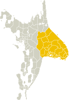
Location |
 |
 |
|
| Location |
Eastern Norscand |
| Area |
 Continental Continental |
305 088 sq.km |
 Isles Isles |
1 688 sq.km |
 Water bodies Water bodies |
13 871 sq.km |
 Total Total |
320 646 sq.km |
| Rank in Norscand |
1 of 4 |
| Size comparision |
Norway |
| Boundaries |
 Land Land |
1 220 km |
 Coastal (w/o isles) Coastal (w/o isles) |
3 374 km |
| Population |
 Total Total |
11 051 000 |
| Rank in Norscand |
3 of 4 |
| 5 Largest towns |
 Wallensen Wallensen |
817 426 |
 Walden Walden |
587 770 |
 Lort Lort |
444 514 |
 Tronlax Tronlax |
279 146 |
 Strenden Strenden |
241 688 |
| Administrative division |
 # of counties # of counties |
27 |
 # of districts # of districts |
134 |
 Region capital Region capital |
Wallensen |
| Transportation |
| Roadways: |
|
 Total length (paved, basic network) Total length (paved, basic network) |
58 425 km |
 Expressways Expressways |
8 693 km |
 Road density Road density |
0,18 km/sq.km |
 Share of expw Share of expw |
15% |
| Railways |
|
 Total length Total length |
8 712 km |
 High-Speed Lines High-Speed Lines |
331 km |
| Airports |
|
 Total Total |
80 |
 Sched.service Sched.service |
17 |
| Seaports |
|
 Total Total |
45 |
 |
|
 |
 |
|
|
