| |
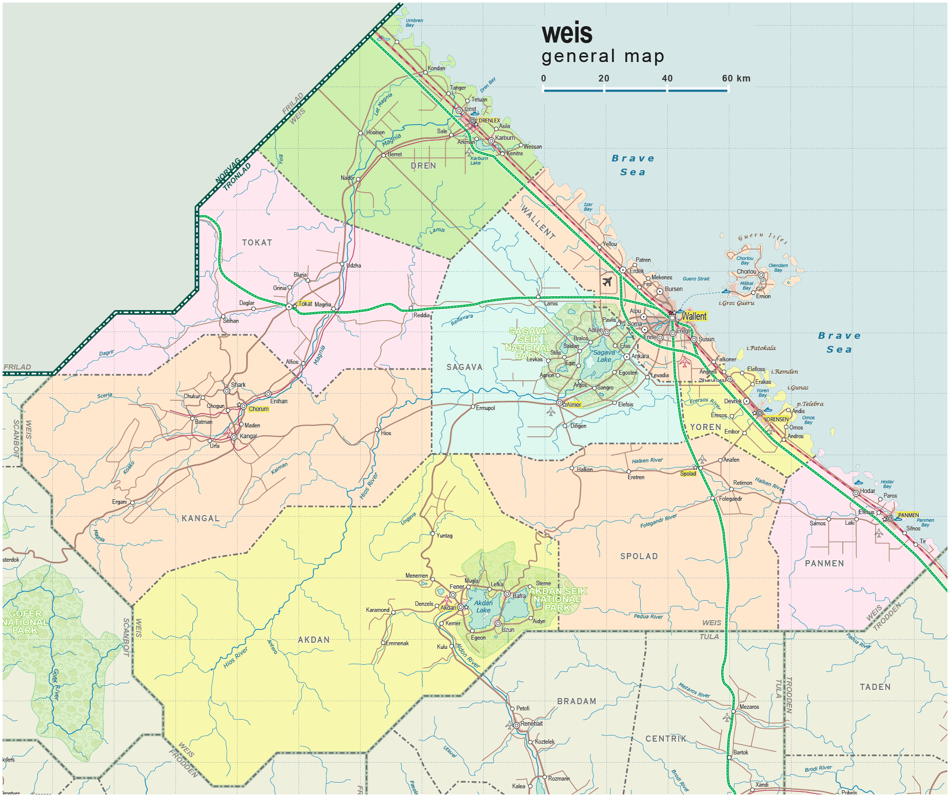
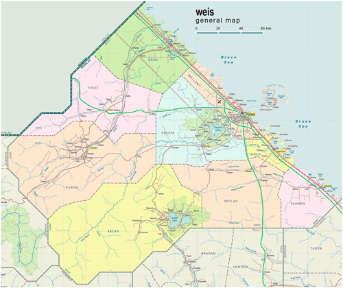
| General map (1852x1555, 0.30 mb) |
 |
|
|
| Flag |
Coat of Arms |
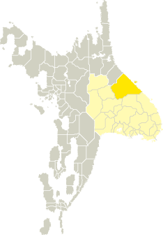
Location |
 |
 |
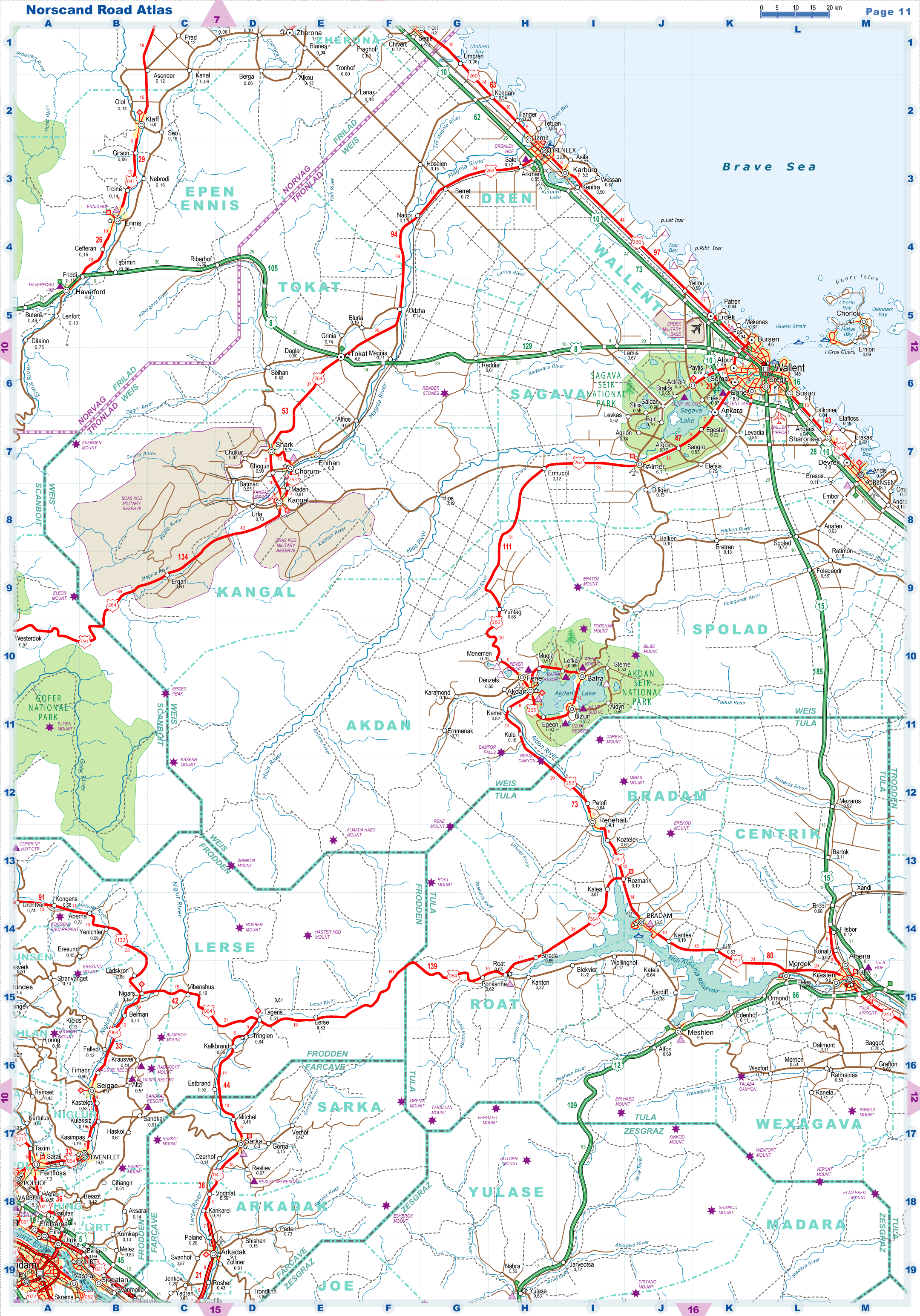
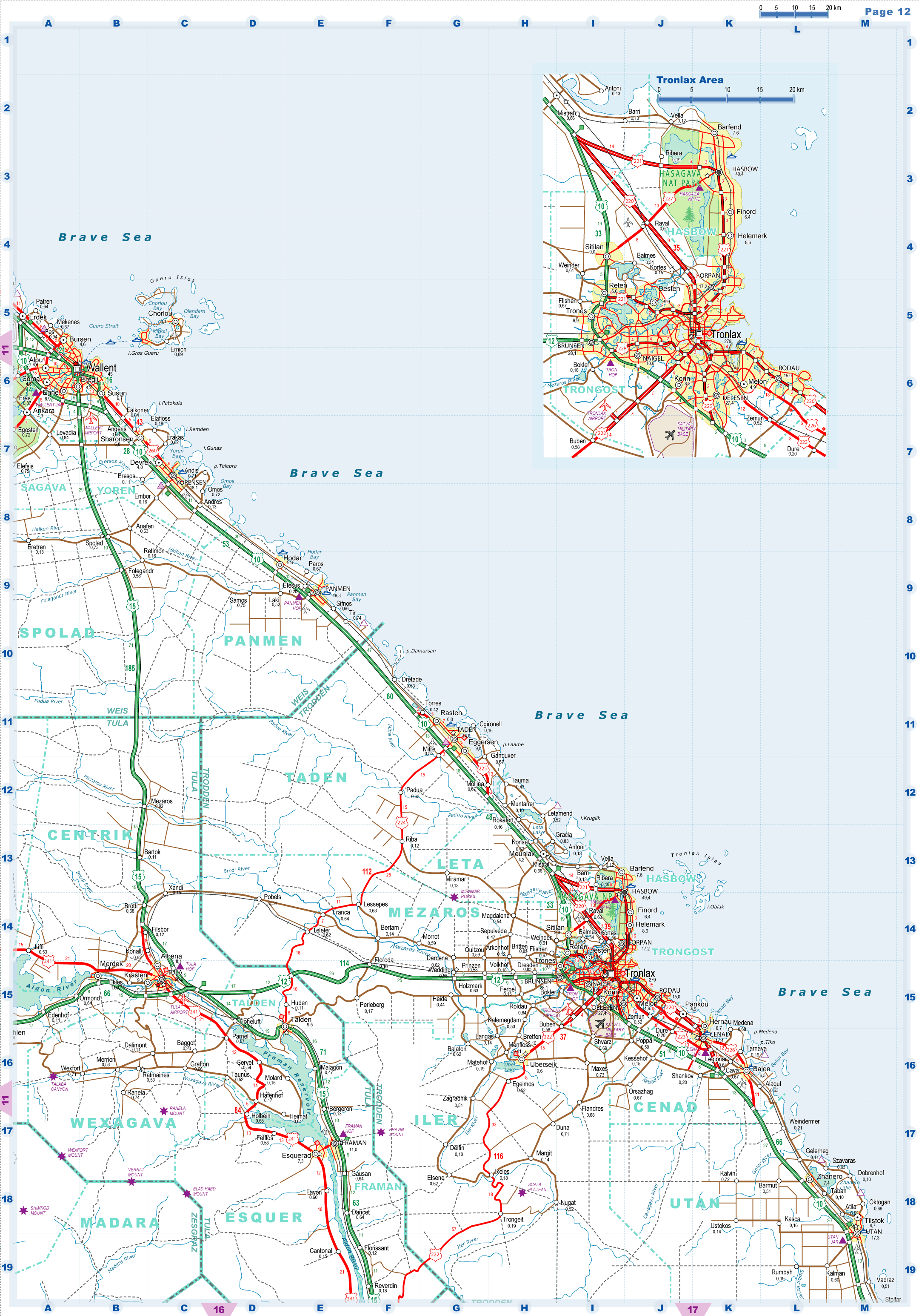
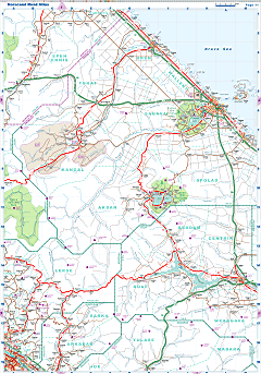
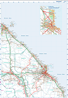
| Road maps for this area |
 |
 |
| |
|
| Location |
Northern Tronlad |
| Area |
 Continental Continental |
40 468 sq.km |
| Isles |
208 sq.km |
| Water bodies |
282 sq.km |
| Total |
40 958 sq.km |
| Rank in Tronlad |
1 of 27 |
| Rank in Norscand |
1 of 103 |
| Size comparision |
Netherlands |
| Boundaries |
| Land |
605 km |
| Coastal (w/o isles) |
499 km |
| Population |
| Total |
415 900 |
| Rank in Tronlad |
9 of 27 |
| Rank in Norscand |
44 of 103 |
| 5 Largest towns |
| Wallent |
144 668 |
| Drenlex |
22 636 |
| Panmen |
19 318 |
| Yorensen |
18 106 |
| Chorum |
9 748 |
| Administrative division |
| # of districts |
9 |
| County seat |
Wallent |
| Transportation |
| Roadways: |
|
| Total length (paved, basic network) |
4 452km |
| Expressways |
572km |
| Road density |
0,11 km/sq.km |
| Share of expw |
13% |
| Railways |
|
| Total length |
583km |
| High-Speed Lines |
0 km |
| Airports |
|
| Total |
7 |
| Sched.service |
2 |
| Seaports |
|
| Total |
6 |
 |
|
|
|