| |
|
|
| Flag |
Coat of Arms |
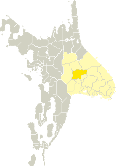
Location |
 |
 |
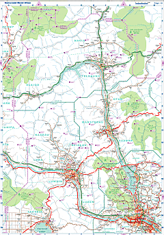
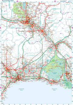
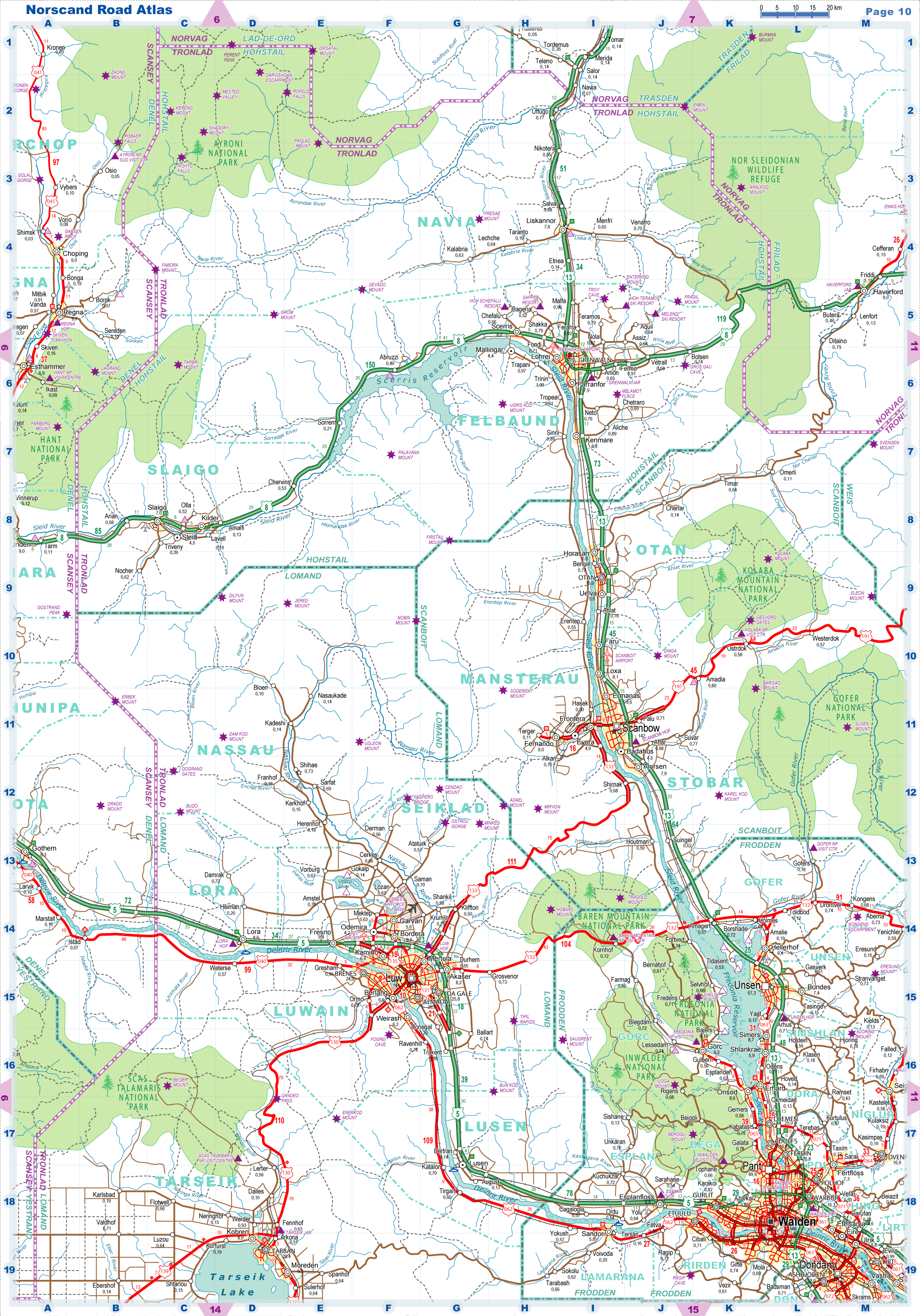
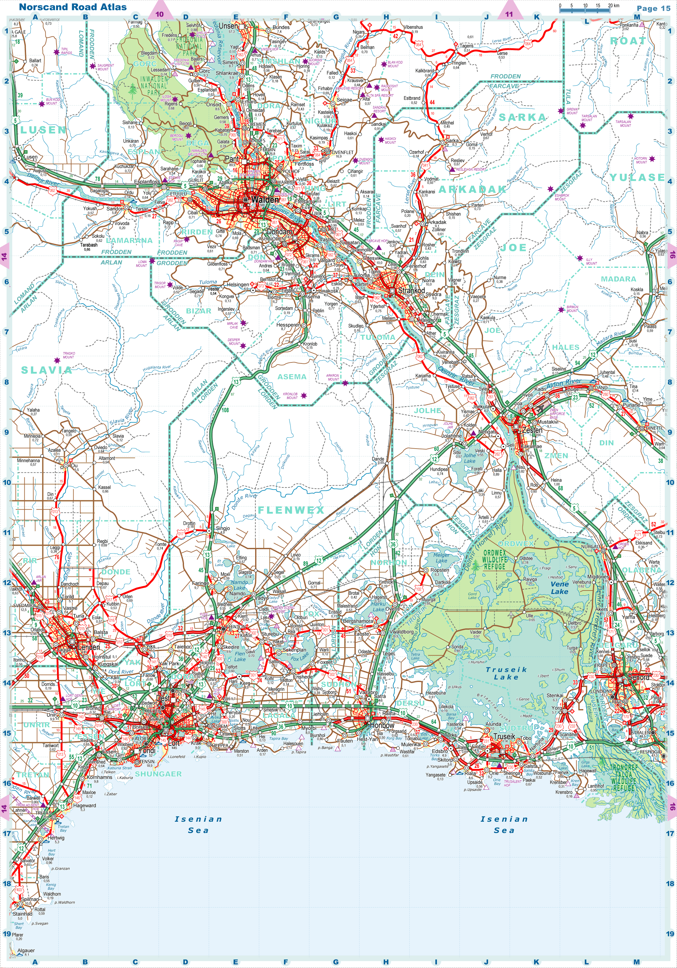
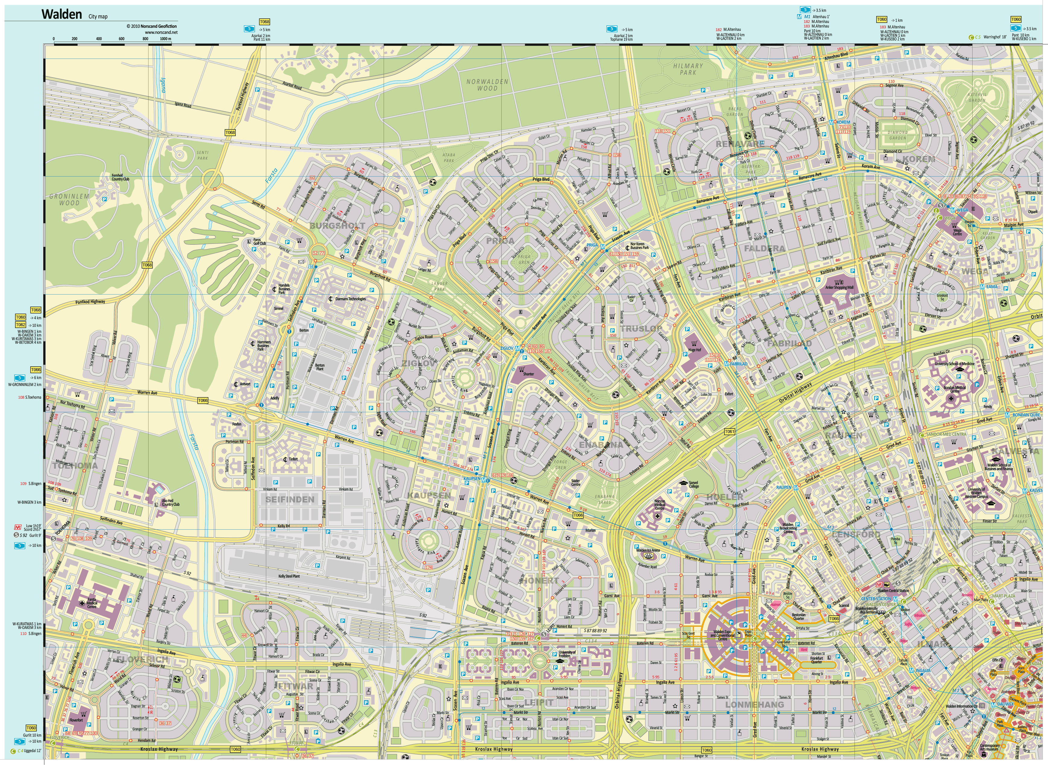
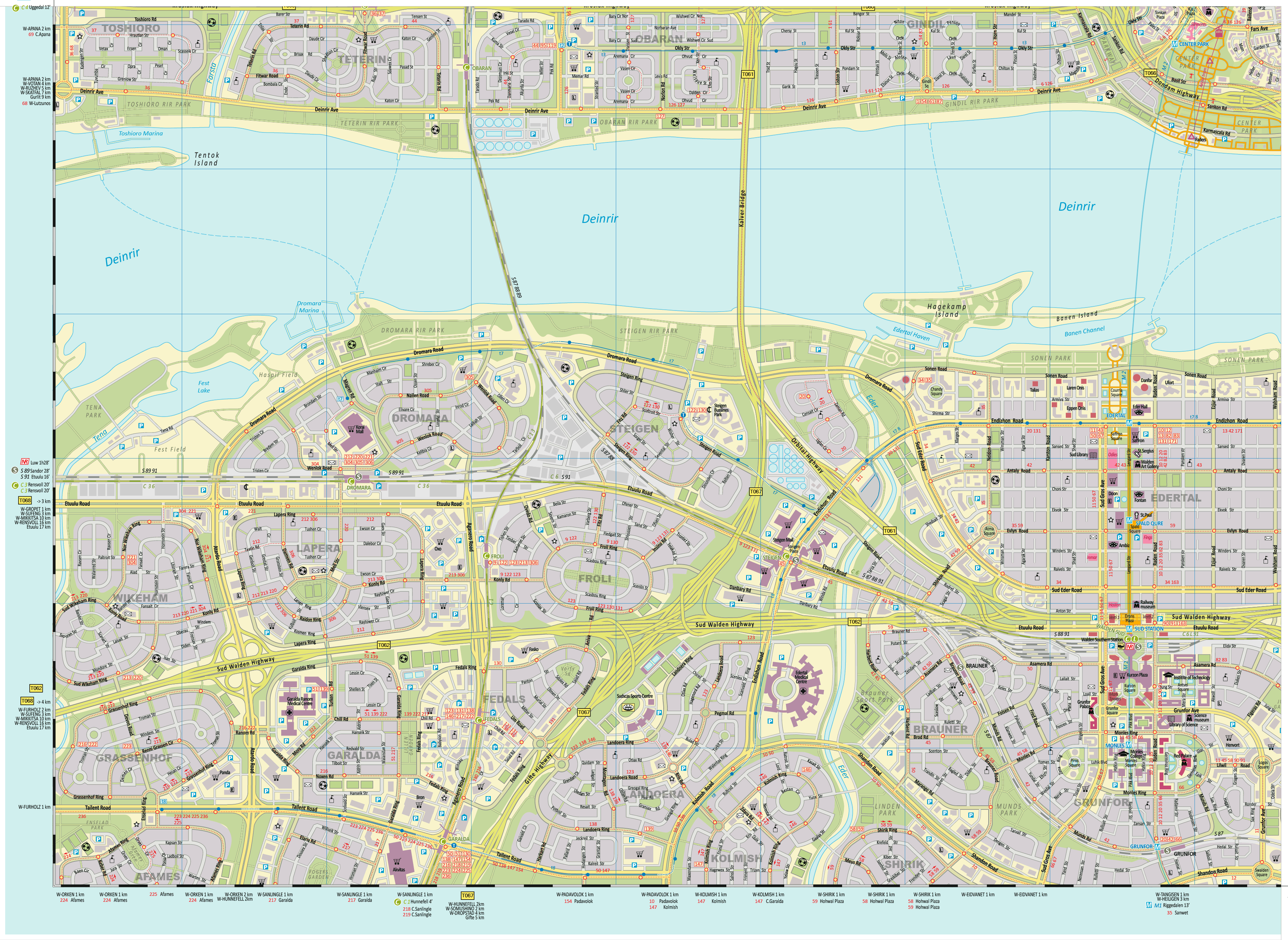
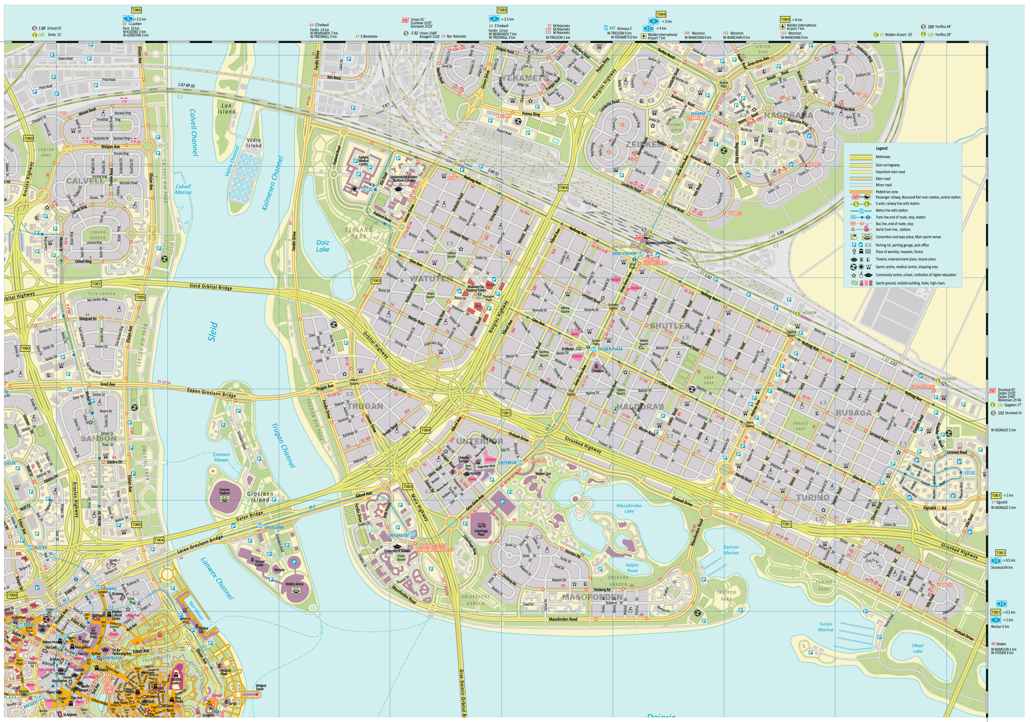
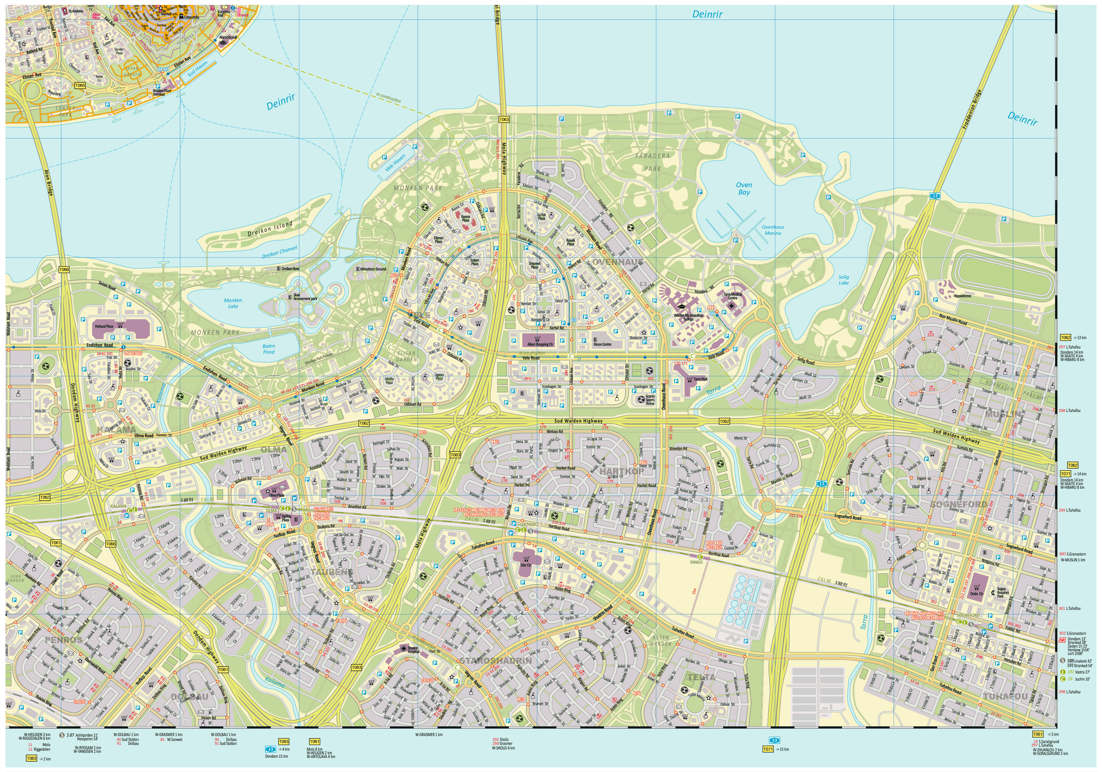
| Road maps for this area |
 |
 |
| |
|
| Location |
Central Tronlad |
| Area |
 Continental Continental |
19 144 sq.km |
| Isles |
0 sq.km |
| Water bodies |
0 sq.km |
| Total |
19 144 sq.km |
| Rank in Tronlad |
8 of 27 |
| Rank in Norscand |
16 of 103 |
| Size comparision |
Slovenia |
| Boundaries |
| Land |
646 km |
| Coastal (w/o isles) |
0 km |
| Population |
| Total |
1 081 400 |
| Rank in Tronlad |
2 of 27 |
| Rank in Norscand |
7 of 103 |
| 5 Largest towns |
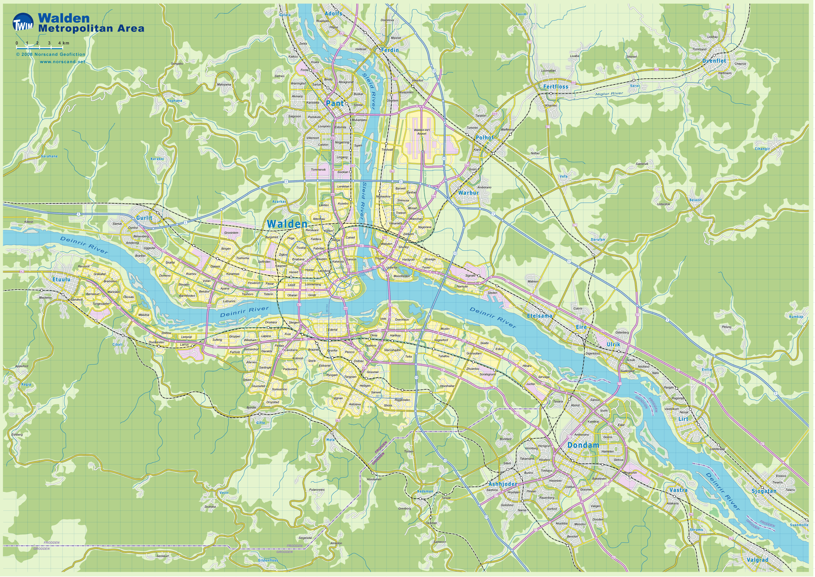
| Walden |
587 770 |
| Pant |
89 872 |
| Unsen |
57 276 |
| Ferdin |
26 764 |
| Lirt |
26 670 |
| Administrative division |
| # of districts |
14 |
| County seat |
Walden |
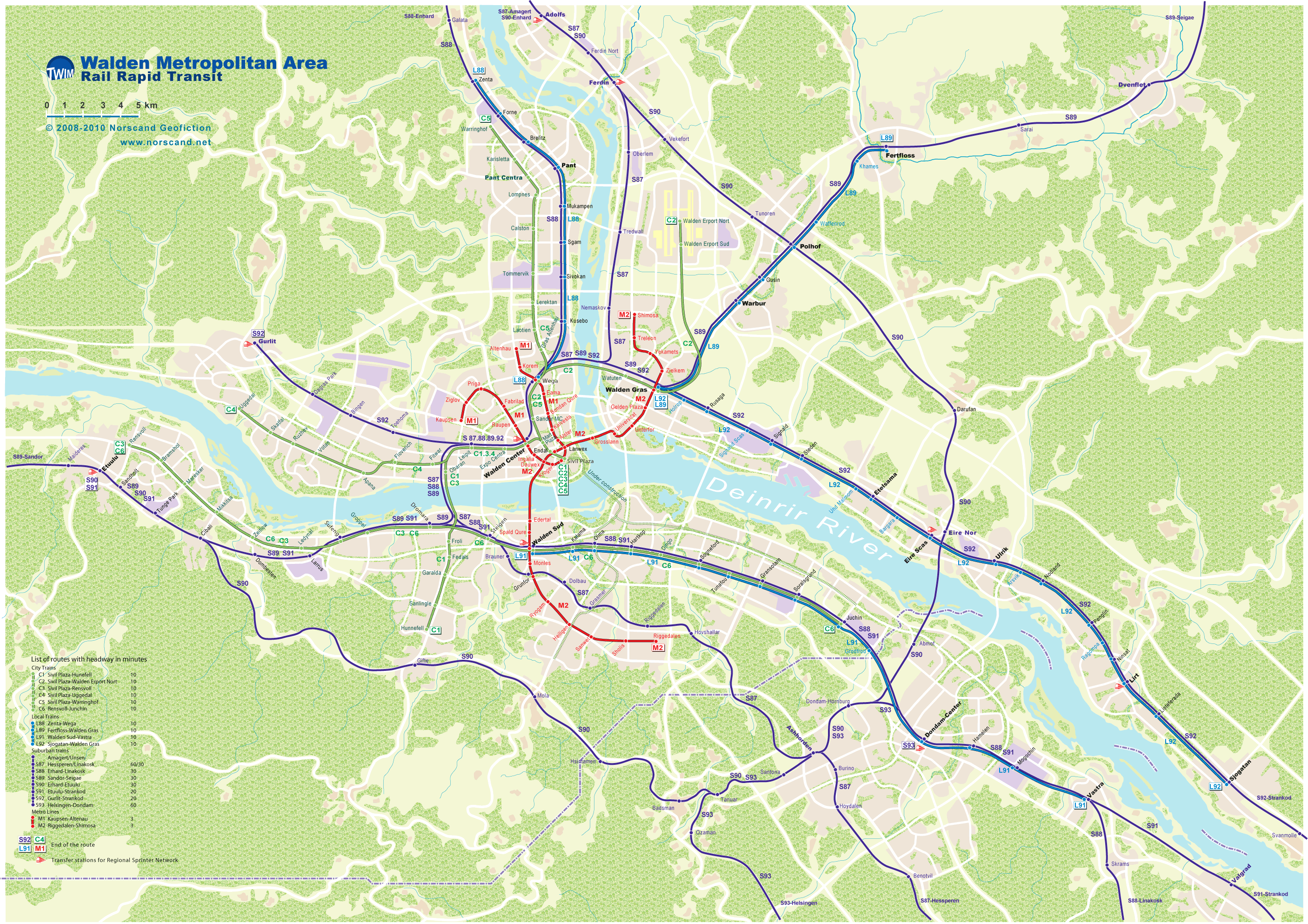
| Transportation |
| Roadways: |
|
| Total length (paved, basic network) |
3 784km |
| Expressways |
501km |
| Road density |
0,20 km/sq.km |
| Share of expw |
13% |
| Railways |
|
| Total length |
572km |
| High-Speed Lines |
0 km |
| Airports |
|
| Total |
4 |
| Sched.service |
1 |
| Seaports |
|
| Total |
0 |
 |
|
|
|

