| |
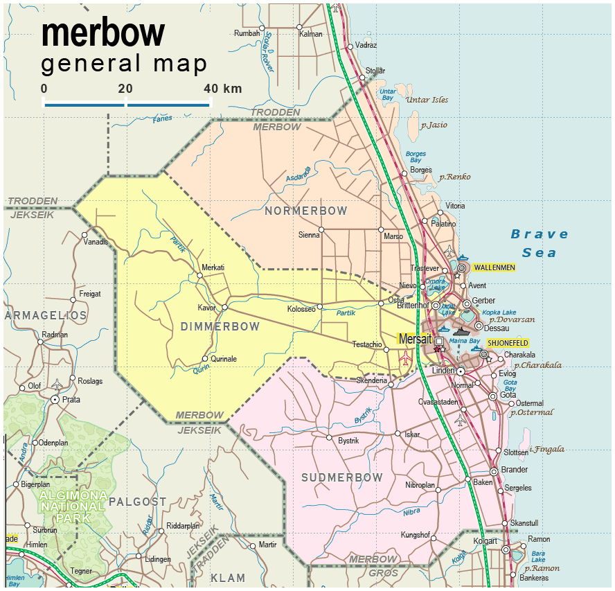
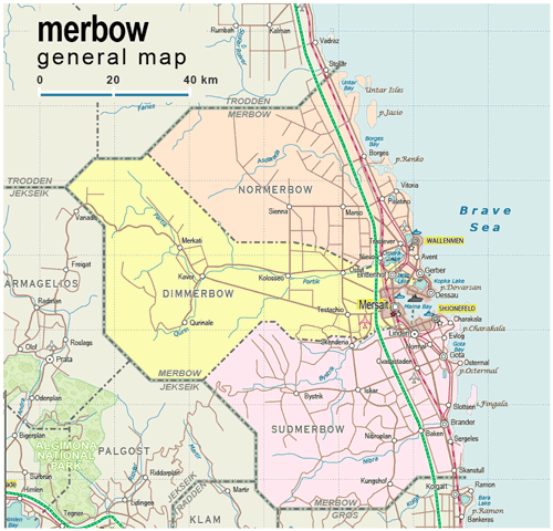
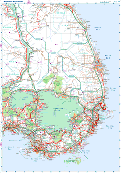
| General map (888x853, 0.12 mb) |
 |
|
|
| Flag |
Coat of Arms |
Location |
 |
 |
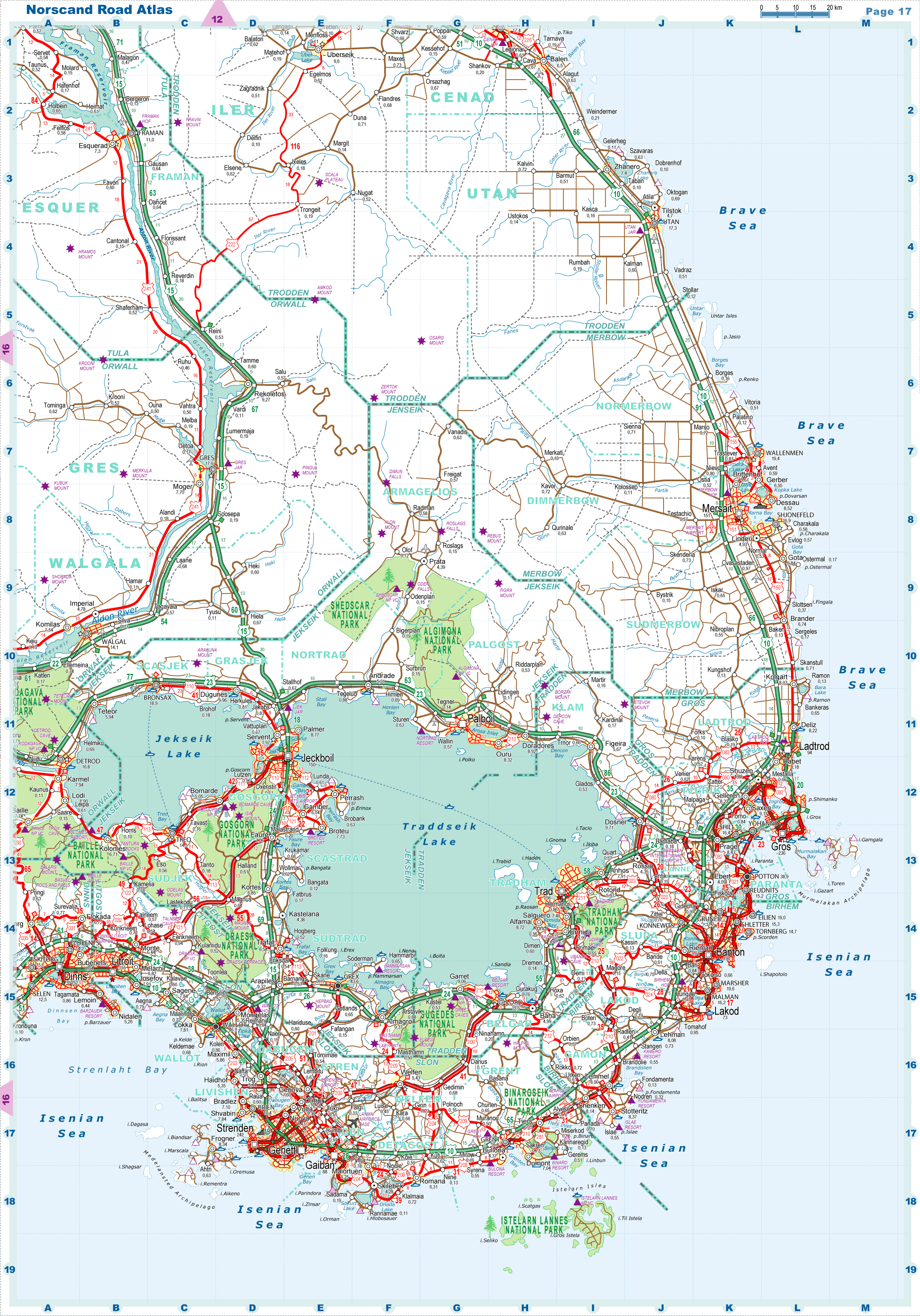
| Road maps for this area |
 |
| |
| |
|
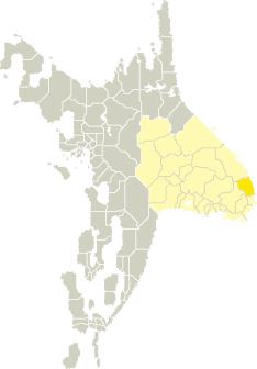
| Location |
Southeastern Tronlad |
| Area |
 Continental Continental |
7 805 sq.km |
| Isles |
38 sq.km |
| Water bodies |
31 sq.km |
| Total |
7 874 sq.km |
| Rank in Tronlad |
14 of 27 |
| Rank in Norscand |
47 of 103 |
| Size comparision |
X |
| Boundaries |
| Land |
245 km |
| Coastal (w/o isles) |
214 km |
| Population |
| Total |
246 500 |
| Rank in Tronlad |
16 of 27 |
| Rank in Norscand |
78 of 103 |
| 5 Largest towns |
| Mersait |
150 524 |
| Wallenmen |
19 422 |
| Shjonefeld |
16 910 |
| Gota |
9 838 |
| Brittenhof |
9 612 |
| Administrative division |
| # of districts |
3 |
| County seat |
Mersait |
| Transportation |
| Roadways: |
|
| Total length (paved, basic network) |
1 931km |
| Expressways |
111km |
| Road density |
0,25 km/sq.km |
| Share of expw |
6% |
| Railways |
|
| Total length |
191km |
| High-Speed Lines |
0 km |
| Airports |
|
| Total |
2 |
| Sched.service |
1 |
| Seaports |
|
| Total |
3 |
| |
|
|
|