| |
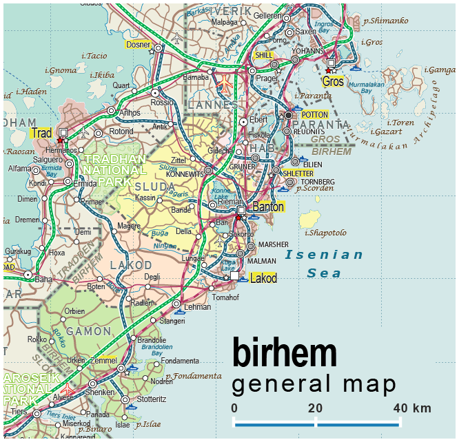
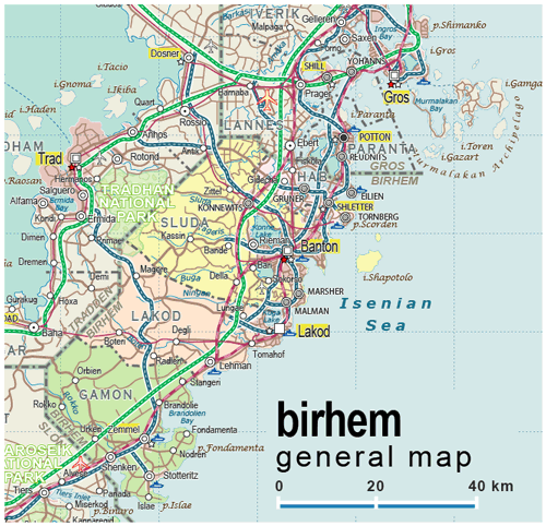
| General map (666x642, 0.13 mb) |
 |
| |
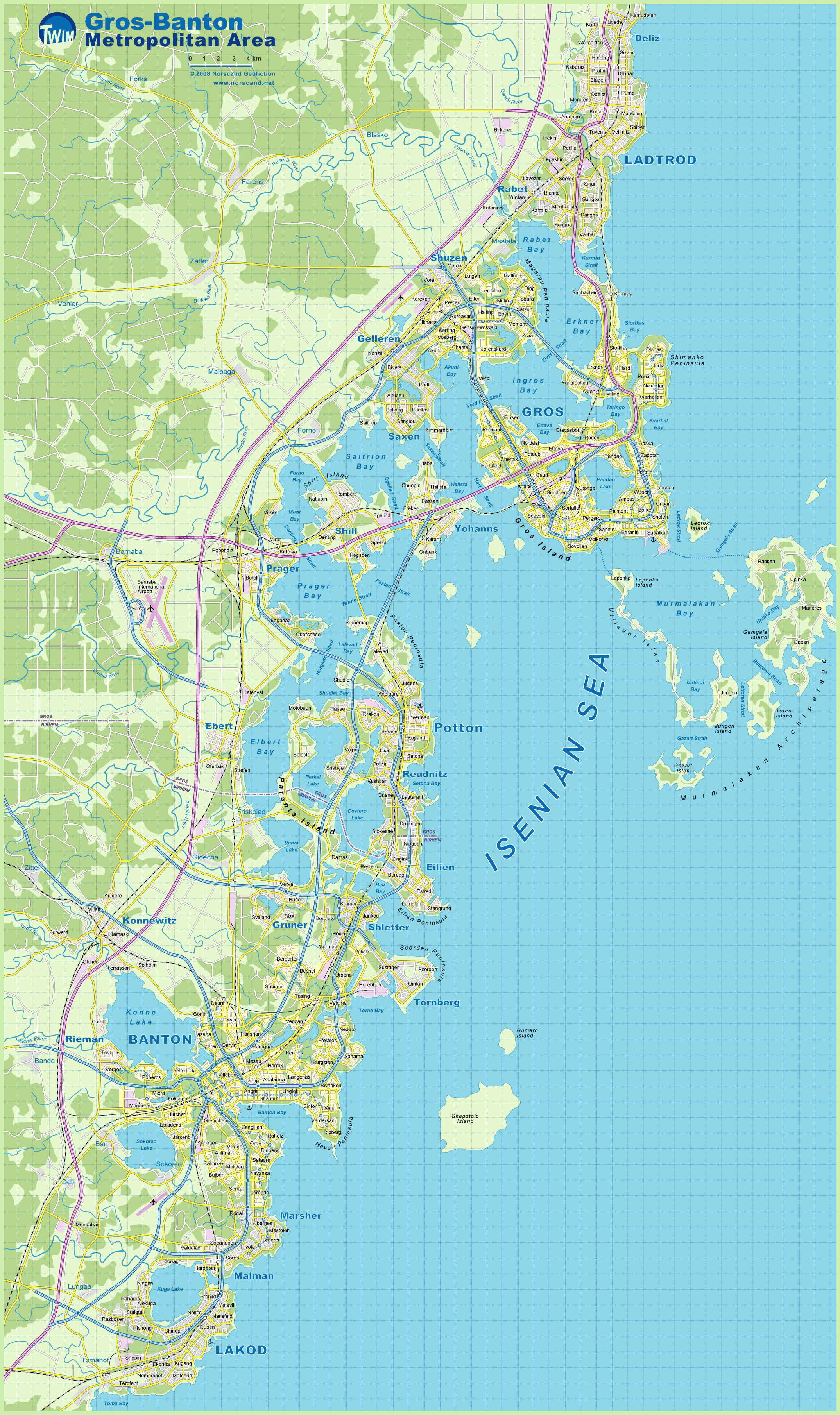
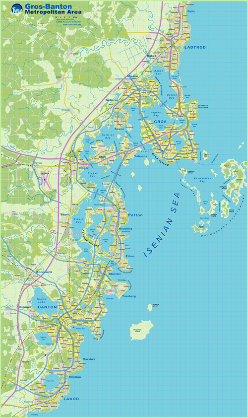
Gros-Banton Metro Area Map
(2149x3621 pix, 1.0 Mb) |
 |
| |
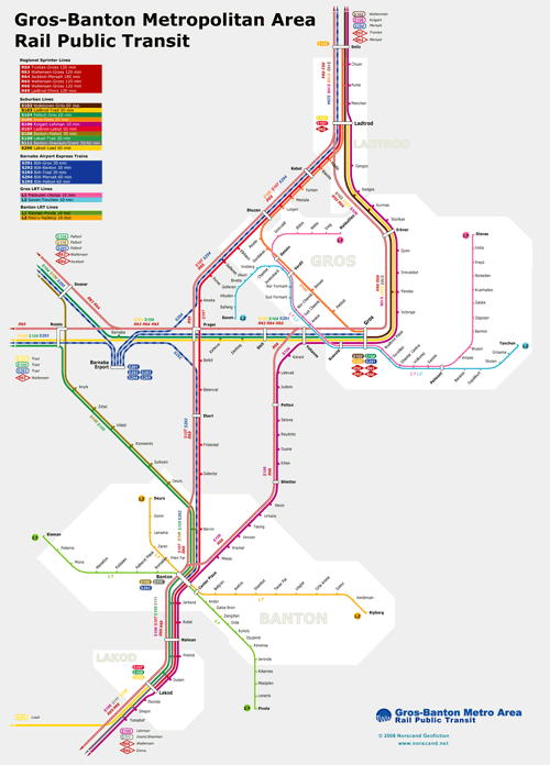
Gros-Banton Metro Area Rail Map
(1715x2388 pix, 0.2 Mb) |
 |
|
|
| Flag |
Coat of Arms |
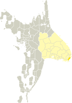
Location |
 |
 |
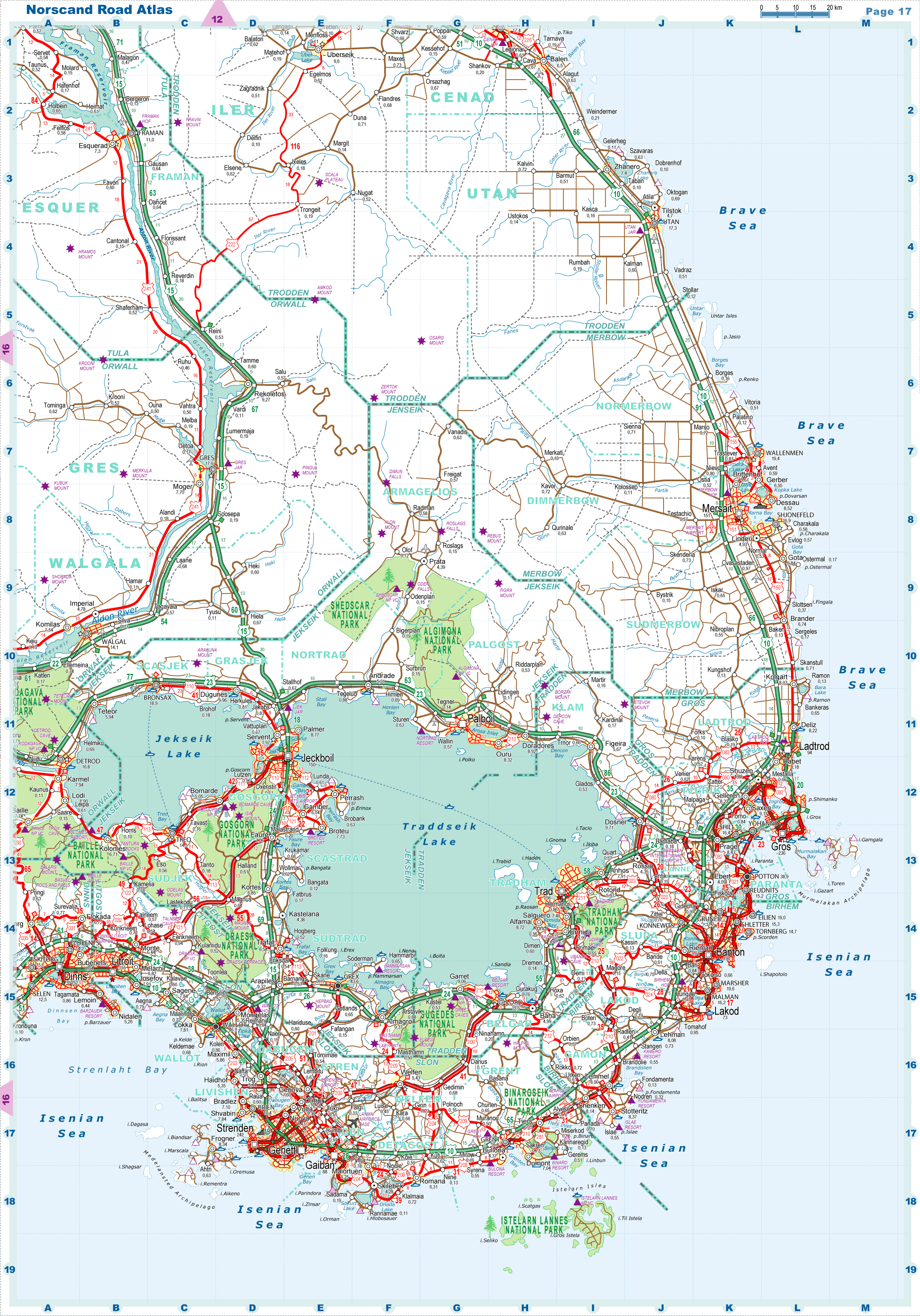
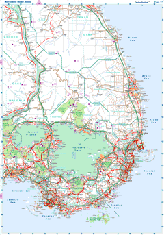
| Road maps for this area |
 |
| |
| |
|
| Location |
Southeastern Tronlad |
| Area |
 Continental Continental |
2 192 sq.km |
| Isles |
17 sq.km |
| Water bodies |
35 sq.km |
| Total |
2 243 sq.km |
| Rank in Tronlad |
23 of 27 |
| Rank in Norscand |
83 of 103 |
| Size comparision |
X |
| Boundaries |
| Land |
111 km |
| Coastal (w/o isles) |
222 km |
| Population |
| Total |
427 700 |
| Rank in Tronlad |
8 of 27 |
| Rank in Norscand |
42 of 103 |
| 5 Largest towns |
| Banton |
189 734 |
| Lakod |
73 034 |
| Marsher |
19 622 |
| Eilien |
18 980 |
| Malman |
16 154 |
| Administrative division |
| # of districts |
4 |
| County seat |
Banton |
| Transportation |
| Roadways: |
|
| Total length (paved, basic network) |
1 684km |
| Expressways |
292km |
| Road density |
0,75 km/sq.km |
| Share of expw |
17% |
| Railways |
|
| Total length |
256km |
| High-Speed Lines |
0 km |
| Airports |
|
| Total |
1 |
| Sched.service |
0 |
| Seaports |
|
| Total |
6 |
| |
|
|
|