| |
 Scansey is divided into 24 counties. Scansey is divided into 24 counties.
To see maps of counties and cities choose one of them:
or see
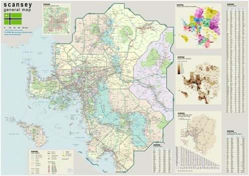
 General Map of Scansey (includes map insets of administrative division, population density, road distances chart, capital region, index of counties and districts). General Map of Scansey (includes map insets of administrative division, population density, road distances chart, capital region, index of counties and districts).
| General map (4266x3022, 5.66 mb) |
 |
| |
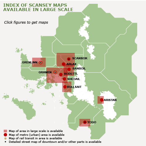
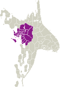
Index map
(Click area on picture to get detailed map) |
|
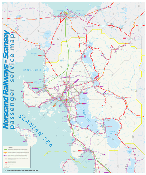
Scansey Railway Passenger Service Map
(4104x6063 pix, 2.1 Mb) |
 |
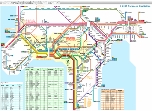
Scansey Regional Rapid Rail Transit Map
(1900x1386 pix, 0.45 Mb) |
 |
|
|
| Flag |
Coat of Arms |
Location |
 |
 |
| Road maps for this area |
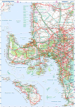 |
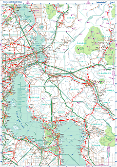 |
| |
|
| Location |
Central Scansey |
| Area |
 Continental Continental |
150 143 sq.km |
 Isles Isles |
2 647 sq.km |
 Water bodies Water bodies |
18 482 sq.km |
 Total Total |
171 271 sq.km |
| Rank in Scansey |
X |
| Rank in Norscand |
3 of 4 |
| Size comparision |
Florida, Uruguai |
| Boundaries |
 Land Land |
1 210 km |
 Coastal (w/o isles) Coastal (w/o isles) |
2 200 km |
| Population |
 Total Total |
11 691 500 |
| Rank in Scansey |
X |
| Rank in Norscand |
2 of 4 |
| 5 Largest towns |
 Gramen Gramen |
2 531 632 |
 Grenlinn Grenlinn |
831 182 |
 Rodettl Rodettl |
483 642 |
 Yogo Yogo |
320 618 |
 Scanseik Scanseik |
299 682 |
| Administrative division |
 # of counties # of counties |
24 |
 # of districts # of districts |
114 |
 Region capital Region capital |
Scanseik |
| Transportation |
| Roadways: |
|
 Total length (paved, basic network) Total length (paved, basic network) |
35 900 km |
 Expressways Expressways |
6 660 km |
 Road density Road density |
0,23 km/sq.km |
 Share of expw Share of expw |
19% |
| Railways |
|
 Total length Total length |
7 110 km |
 High-Speed Lines High-Speed Lines |
925 km |
| Airports |
|
 Total Total |
51 |
 Sched.service Sched.service |
12 |
| Seaports |
|
 Total Total |
54 |
 |
|
|
|
