| |
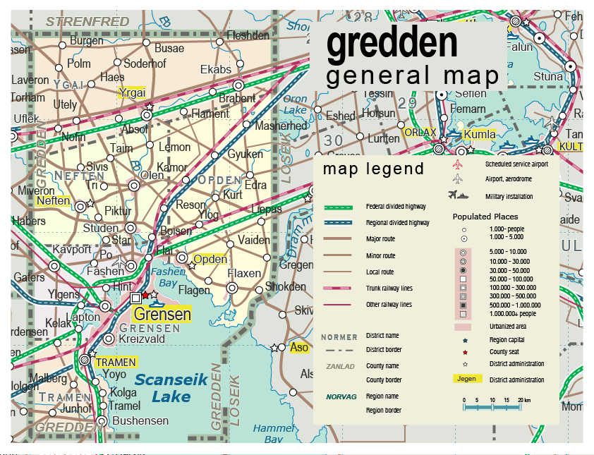
| General map (842x645, 123 kb) |
 |
|
|
| Flag |
Coat of Arms |
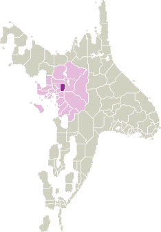
Location |
 |
 |
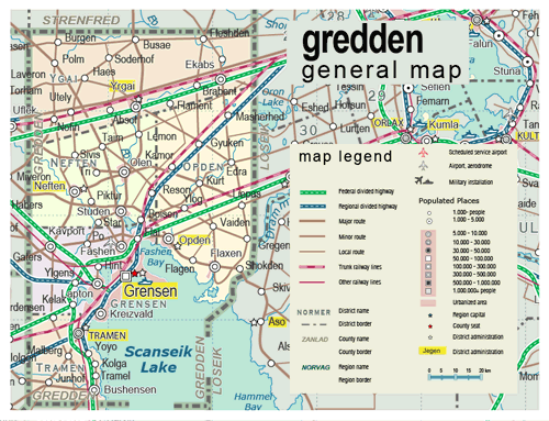
| Road maps for this area |
 |
| |
|
| Location |
Central Scansey |
| Area |
 Continental Continental |
2 323 sq.km |
| Isles |
0 sq.km |
| Water bodies |
551 sq.km |
| Total |
2 874 sq.km |
| Rank in Scansey |
17 of 24 |
| Rank in Norscand |
80 of 103 |
| Size comparision |
Samoa |
| Boundaries |
| Land |
185 km |
| Coastal (w/o isles) |
0 km |
| Population |
| Total |
272 200 |
| Rank in Scansey |
14 of 24 |
| Rank in Norscand |
70 of 103 |
| 5 Largest towns |
| Grensen |
157 926 |
| Tramen |
17 704 |
| Bushensen |
9 778 |
| Neften |
9 772 |
| Flaxen |
8 606 |
| Administrative division |
| # of districts |
5 |
| County seat |
Grensen |
| Transportation |
| Roadways: |
|
| Total length (paved, basic network) |
1 070 km |
| Expressways |
230 km |
| Road density |
0,46 km/sq.km |
| Share of expw |
21% |
| Railways |
|
| Total length |
185 km |
| High-Speed Lines |
0 km |
| Airports |
|
| Total |
1 |
| Sched.service |
0 |
| Seaports |
|
| Total |
0 |
| |
|
|
|