| |
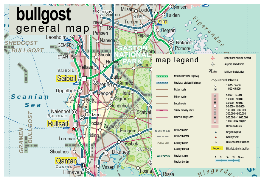
| General map (886x610, 109 kb) |
 |
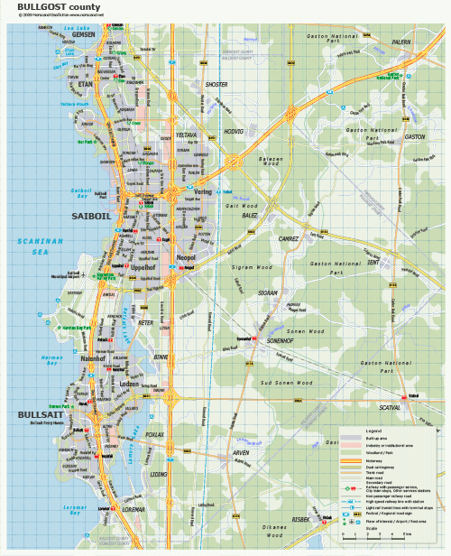
Bullgost county map (1446x1807, 480 kb) |
 |
|
|
| Flag |
Coat of Arms |
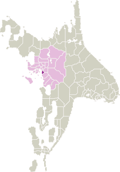
Location |
 |
 |
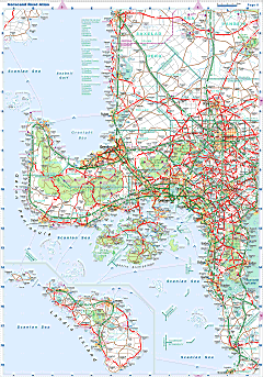
| Road maps for this area |
 |
| |
|
| Location |
Central Scansey |
| Area |
 Continental Continental |
772 sq.km |
| Isles |
0 sq.km |
| Water bodies |
19 sq.km |
| Total |
791 sq.km |
| Rank in Scansey |
23 of 24 |
| Rank in Norscand |
101 of 103 |
| Size comparision |
Dominica |
| Boundaries |
| Land |
70 km |
| Coastal (w/o isles) |
75 km |
| Population |
| Total |
271 200 |
| Rank in Scansey |
15 of 24 |
| Rank in Norscand |
72 of 103 |
| 5 Largest towns |
| Bullsait |
114 864 |
| Saiboil |
94 778 |
| Etan |
13 858 |
| Naienhof |
9 630 |
| Uppelhof |
9 342 |
| Administrative division |
| # of districts |
2 |
| County seat |
Bullsait |
| Transportation |
| Roadways: |
|
| Total length (paved, basic network) |
340 km |
| Expressways |
160 km |
| Road density |
0,44 km/sq.km |
| Share of expw |
47% |
| Railways |
|
| Total length |
100 km |
| High-Speed Lines |
40 km |
| Airports |
|
| Total |
1 |
| Sched.service |
0 |
| Seaports |
|
| Total |
2 |
| |
|
|
|