| |
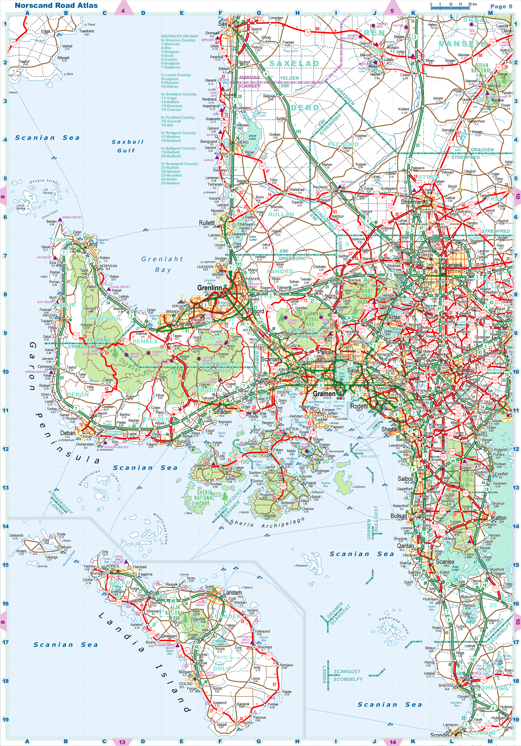
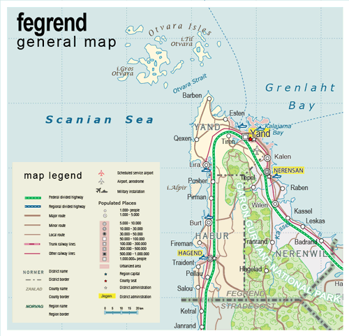
| General map (862x830, 95 kb) |
 |
|
|
| Flag |
Coat of Arms |
Location |
 |
 |
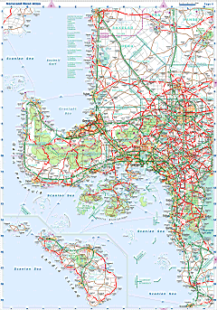
| Road maps for this area |
 |
| |
|
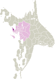
| Location |
Western Scansey |
| Area |
 Continental Continental |
1 696 sq.km |
| Isles |
131 sq.km |
| Water bodies |
9 sq.km |
| Total |
1 835 sq.km |
| Rank in Scansey |
19 of 24 |
| Rank in Norscand |
87 of 103 |
| Size comparision |
Mauritius |
| Boundaries |
| Land |
55 km |
| Coastal (w/o isles) |
295 km |
| Population |
| Total |
182 200 |
| Rank in Scansey |
21 of 24 |
| Rank in Norscand |
97 of 103 |
| 5 Largest towns |
| Yand |
117 826 |
| Nerensan |
18 434 |
| Hagend |
12 520 |
| Burt |
8 186 |
| Kalen |
7 206 |
| Administrative division |
| # of districts |
3 |
| County seat |
Yand |
| Transportation |
| Roadways: |
|
| Total length (paved, basic network) |
610 km |
| Expressways |
110 km |
| Road density |
0,33 km/sq.km |
| Share of expw |
18% |
| Railways |
|
| Total length |
110 km |
| High-Speed Lines |
0 km |
| Airports |
|
| Total |
1 |
| Sched.service |
0 |
| Seaports |
|
| Total |
6 |
| |
|
|
|