| |
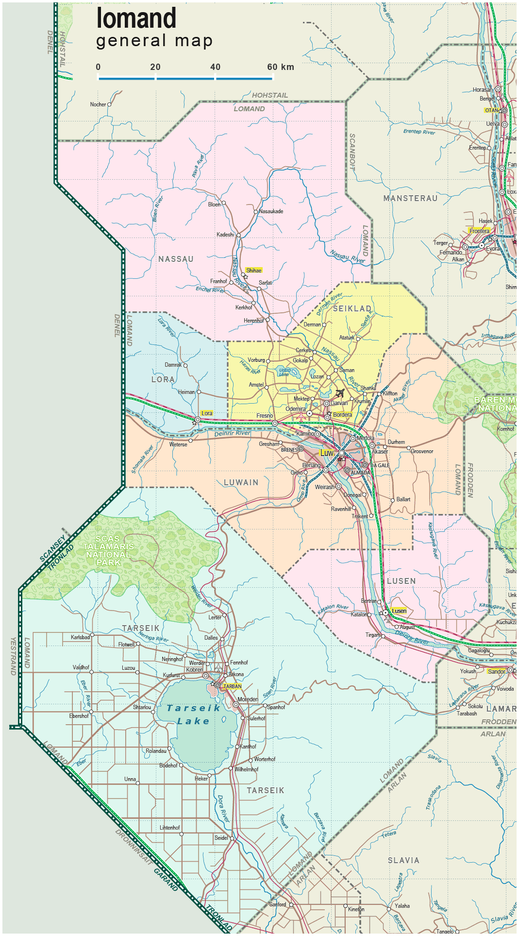
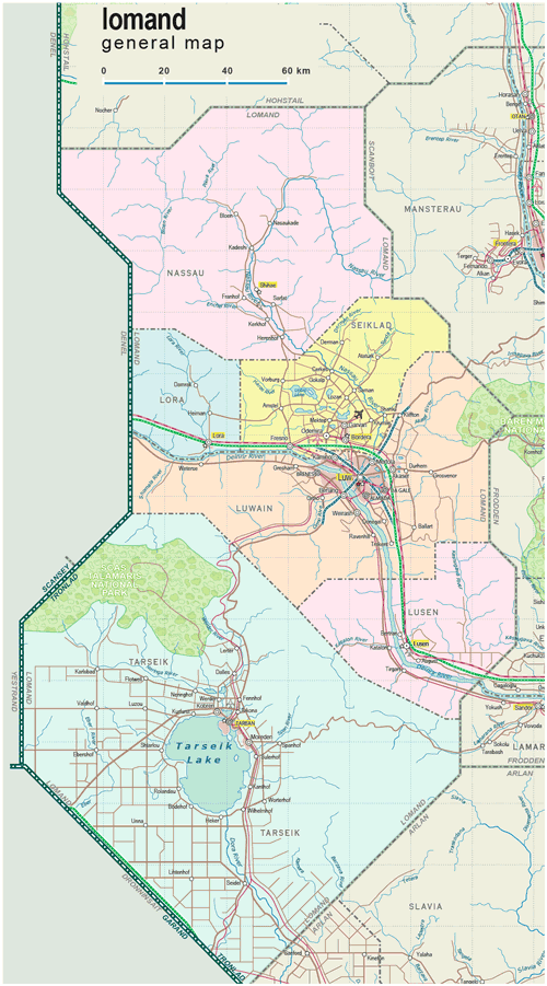
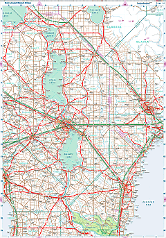
| General map (1069x1927, 0.28 mb) |
 |
| |
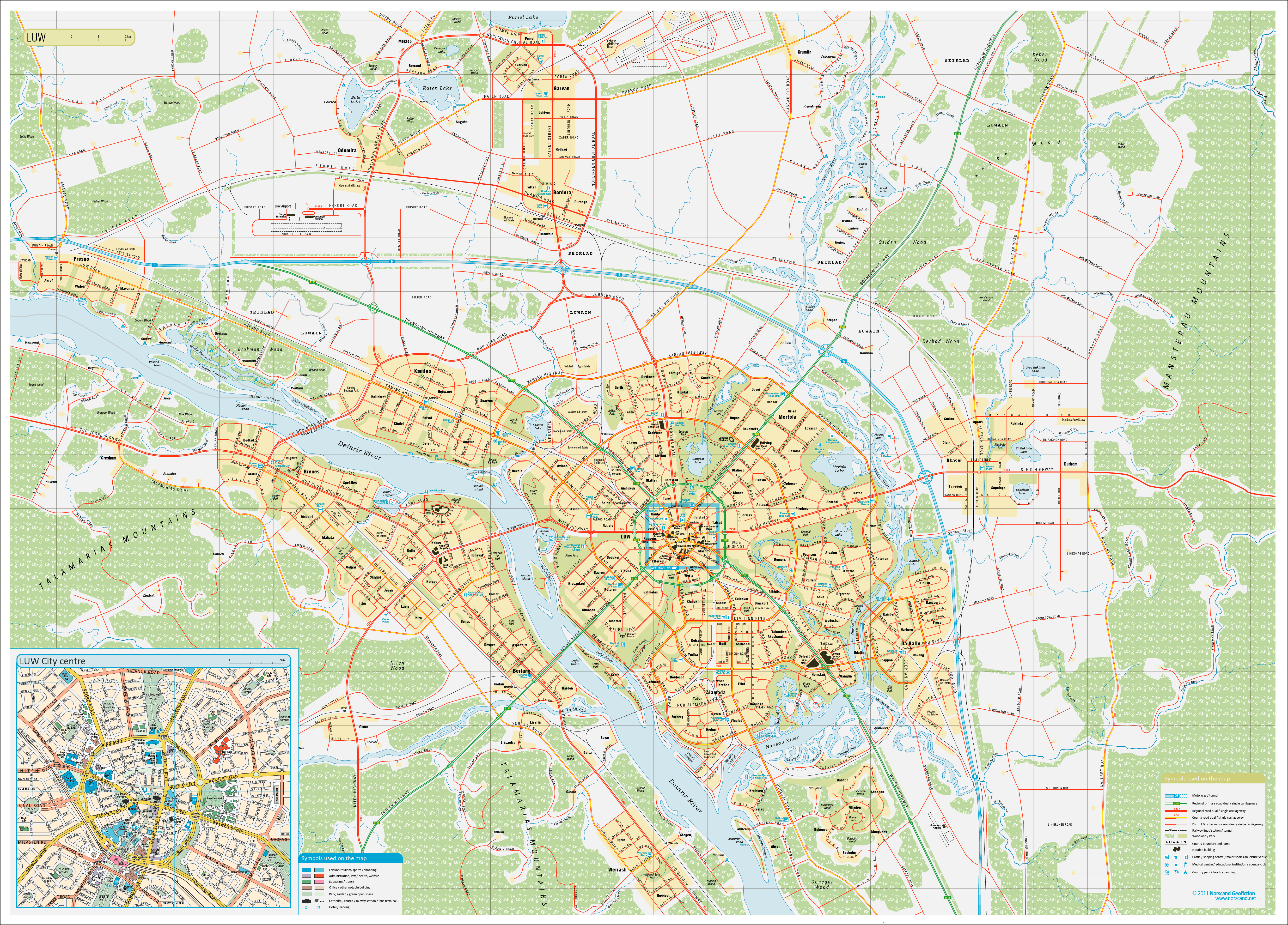
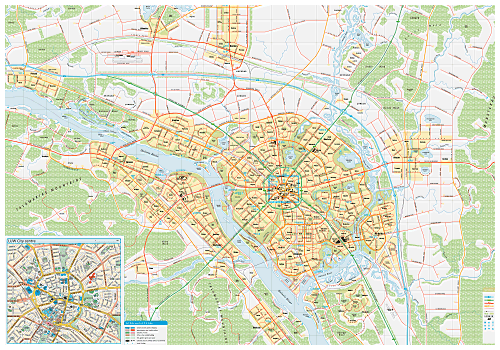
| Luw Urban Area Map(5363x3853 pix, 2.7 Mb) |
 |
|
|
| Flag |
Coat of Arms |
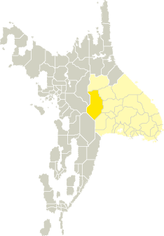
Location |
 |
 |
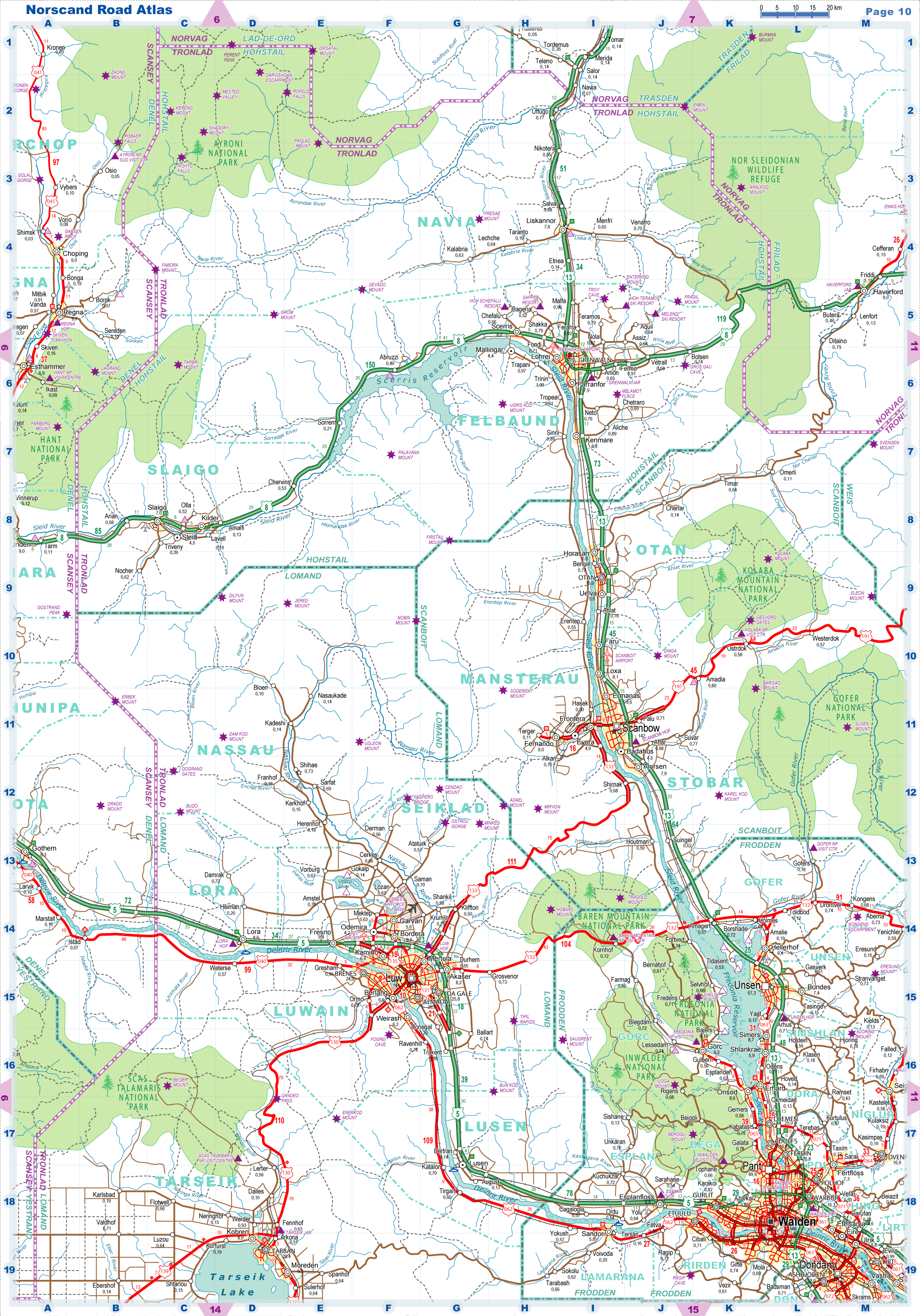
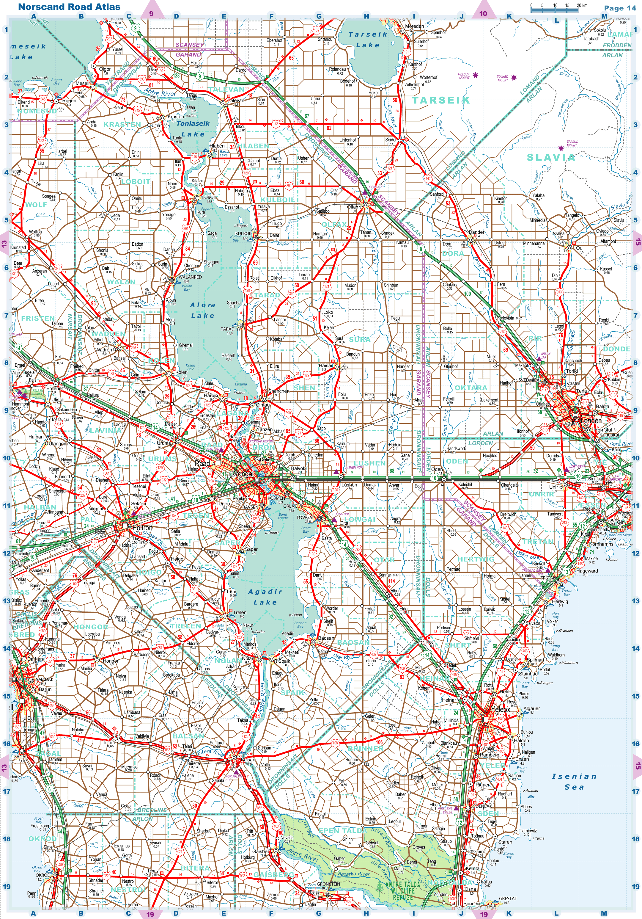
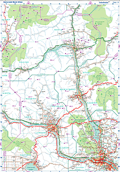
| Road maps for this area |
 |
 |
| |
|
| Location |
Western Tronlad |
| Area |
 Continental Continental |
28 779 sq.km |
| Isles |
3 sq.km |
| Water bodies |
1 797 sq.km |
| Total |
30 580 sq.km |
| Rank in Tronlad |
2 of 27 |
| Rank in Norscand |
4 of 103 |
| Size comparision |
Belgium |
| Boundaries |
| Land |
719 km |
| Coastal (w/o isles) |
0 km |
| Population |
| Total |
368 900 |
| Rank in Tronlad |
10 of 27 |
| Rank in Norscand |
51 of 103 |
| 5 Largest towns |
| Luw |
144 102 |
| Tarban |
29 358 |
| Almada |
26 012 |
| Da Gale |
25 772 |
| Brenes |
24 004 |
| Administrative division |
| # of districts |
6 |
| County seat |
Luw |
| Transportation |
| Roadways: |
|
| Total length (paved, basic network) |
4 494km |
| Expressways |
322km |
| Road density |
0,15 km/sq.km |
| Share of expw |
7% |
| Railways |
|
| Total length |
601km |
| High-Speed Lines |
0 km |
| Airports |
|
| Total |
3 |
| Sched.service |
1 |
| Seaports |
|
| Total |
0 |
 |
|
|
|