| |
|
|
| Flag |
Coat of Arms |
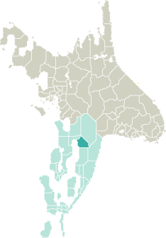
Location |
 |
 |
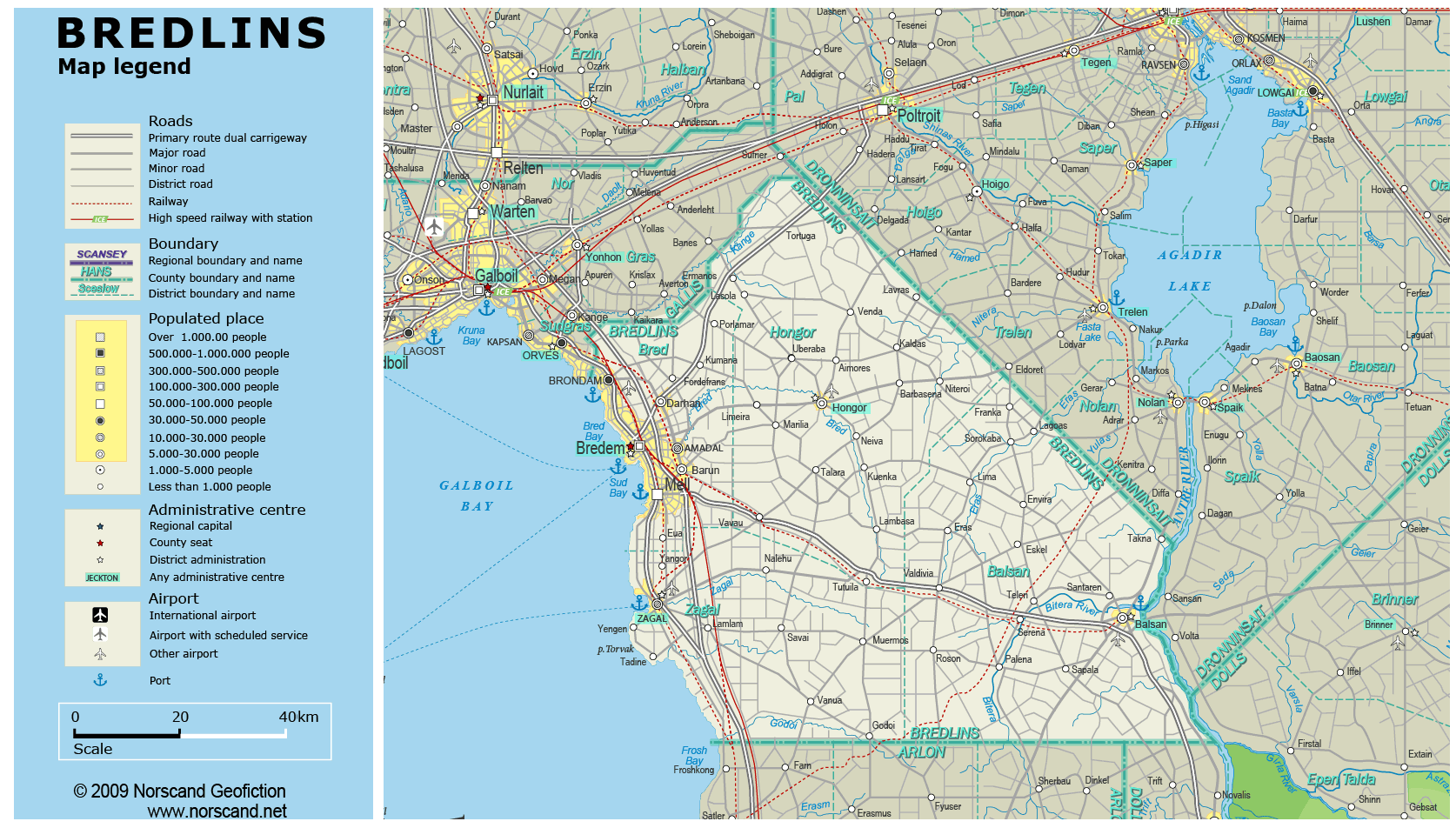
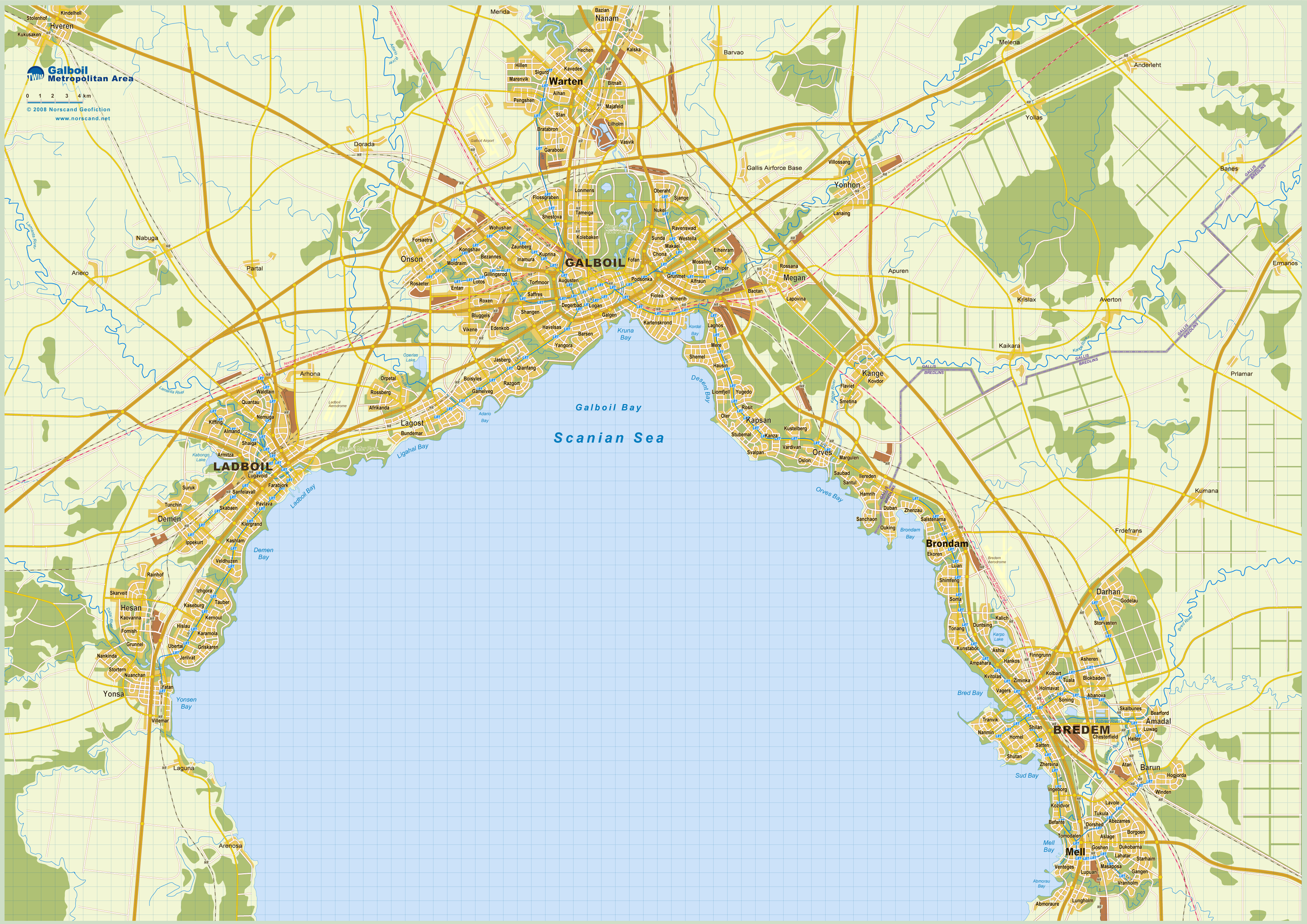
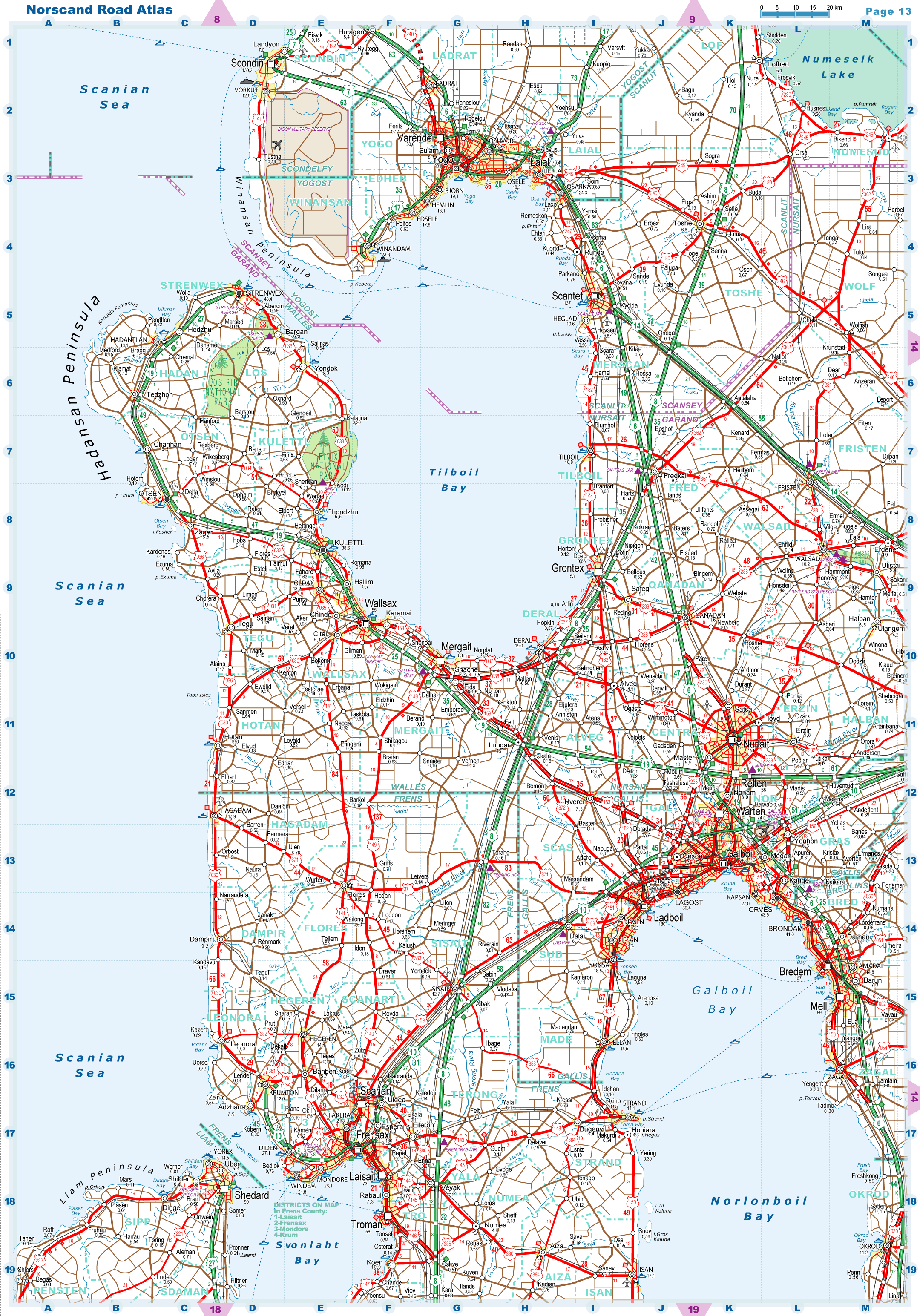
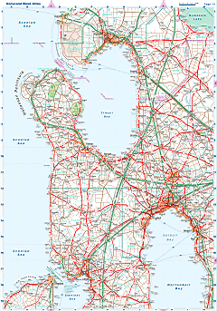
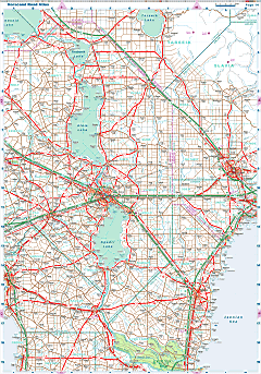
| Road maps for this area |
 |
 |
| |
|
| Location |
Northern Garand |
| Area |
 Continental Continental |
8 219 sq.km |
| Isles |
0 sq.km |
| Water bodies |
0 sq.km |
| Total |
8 219 sq.km |
| Rank in Garand |
12 of 35 |
| Rank in Norscand |
46 of 103 |
| Size comparision |
X |
| Boundaries |
| Land |
287 km |
| Coastal (w/o isles) |
133 km |
| Population |
| Total |
376 941 |
| Rank in Garand |
28 of 35 |
| Rank in Norscand |
48 of 103 |
| 5 Largest towns |
| Bredem |
166 984 |
| Mell |
89 178 |
| Brondam |
40 986 |
| Amadal |
14 778 |
| Zagal |
10 982 |
| Administrative division |
| # of districts |
4 |
| County seat |
Bredem |
| Transportation |
| Roadways: |
|
| Total length (paved, basic network) |
3 978km |
| Expressways |
367km |
| Road density |
0,48 km/sq.km |
| Share of expw |
9% |
| Railways |
|
| Total length |
505km |
| High-Speed Lines |
85 km |
| Airports |
|
| Total |
4 |
| Sched.service |
0 |
| Seaports |
|
| Total |
4 |
| |
|
|
|