| |
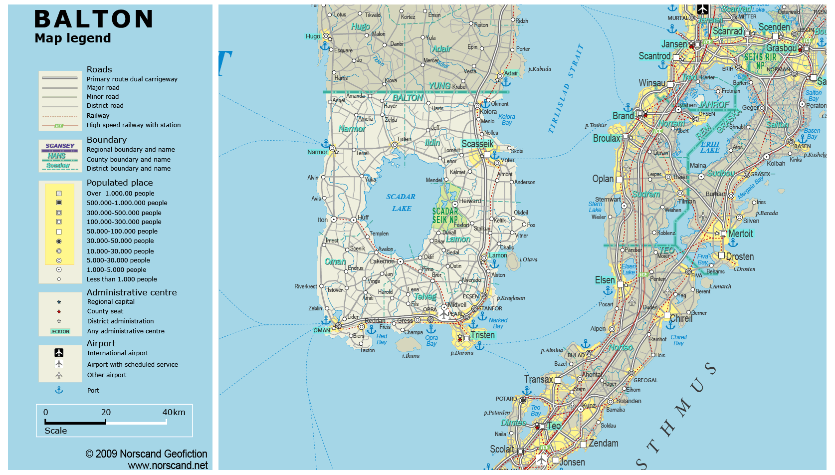
| General map (1674x952, 0.28 mb) |
 |
| |
|
|
| Flag |
Coat of Arms |
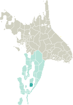
Location |
 |
 |
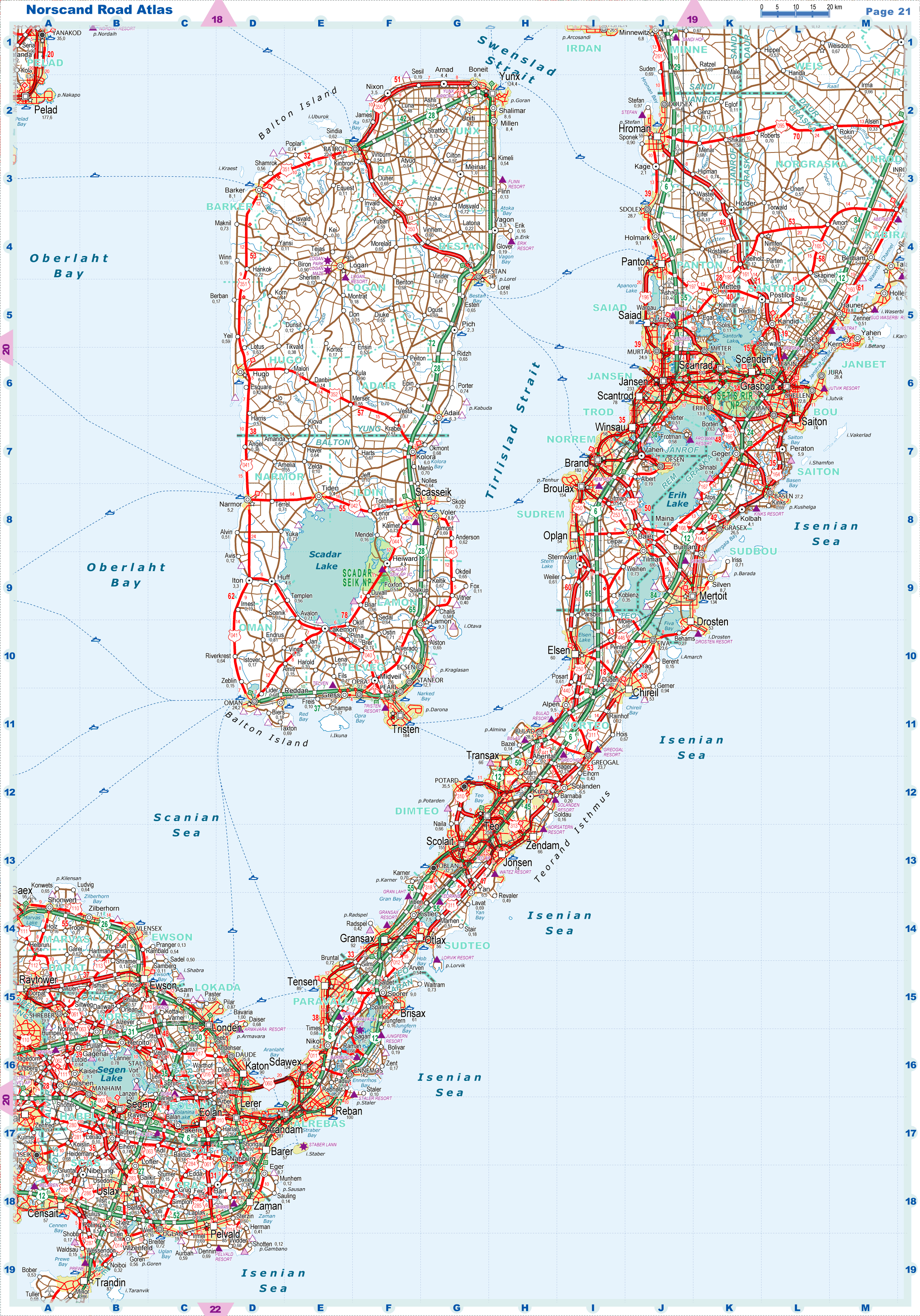
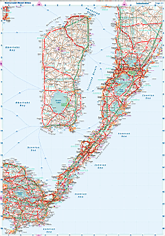
| Road maps for this area |
 |
|
| |
|
| Location |
Southeastern Garand |
| Area |
 Continental Continental |
0 sq.km |
| Isles |
4 895 sq.km |
| Water bodies |
706 sq.km |
| Total |
5 600 sq.km |
| Rank in Garand |
15 of 35 |
| Rank in Norscand |
62 of 103 |
| Size comparision |
X |
| Boundaries |
| Land |
58 km |
| Coastal (w/o isles) |
391 km |
| Population |
| Total |
429 674 |
| Rank in Garand |
26 of 35 |
| Rank in Norscand |
41 of 103 |
| 5 Largest towns |
| Tristen |
184 314 |
| Scasseik |
55 134 |
| Opra |
26 970 |
| Oman |
24 216 |
| Ecsen |
15 746 |
| Administrative division |
| # of districts |
5 |
| County seat |
Tristen |
| Transportation |
| Roadways: |
|
| Total length (paved, basic network) |
2 326km |
| Expressways |
122km |
| Road density |
0,42 km/sq.km |
| Share of expw |
5% |
| Railways |
|
| Total length |
200km |
| High-Speed Lines |
0 km |
| Airports |
|
| Total |
9 |
| Sched.service |
1 |
| Seaports |
|
| Total |
10 |
| |
|
|
|