| |
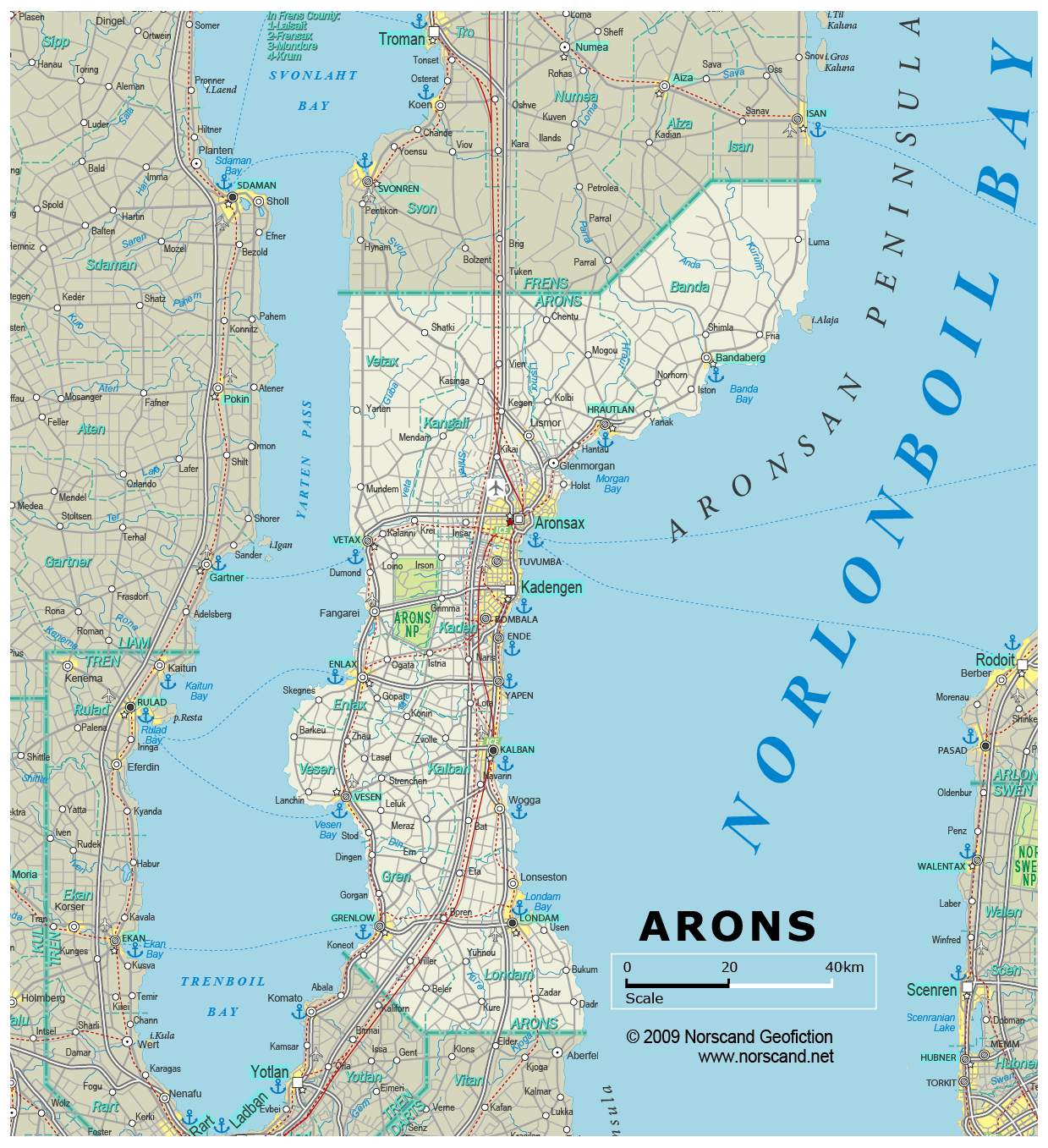
| General map (1239x1357, 0.35 mb) |
 |
| |
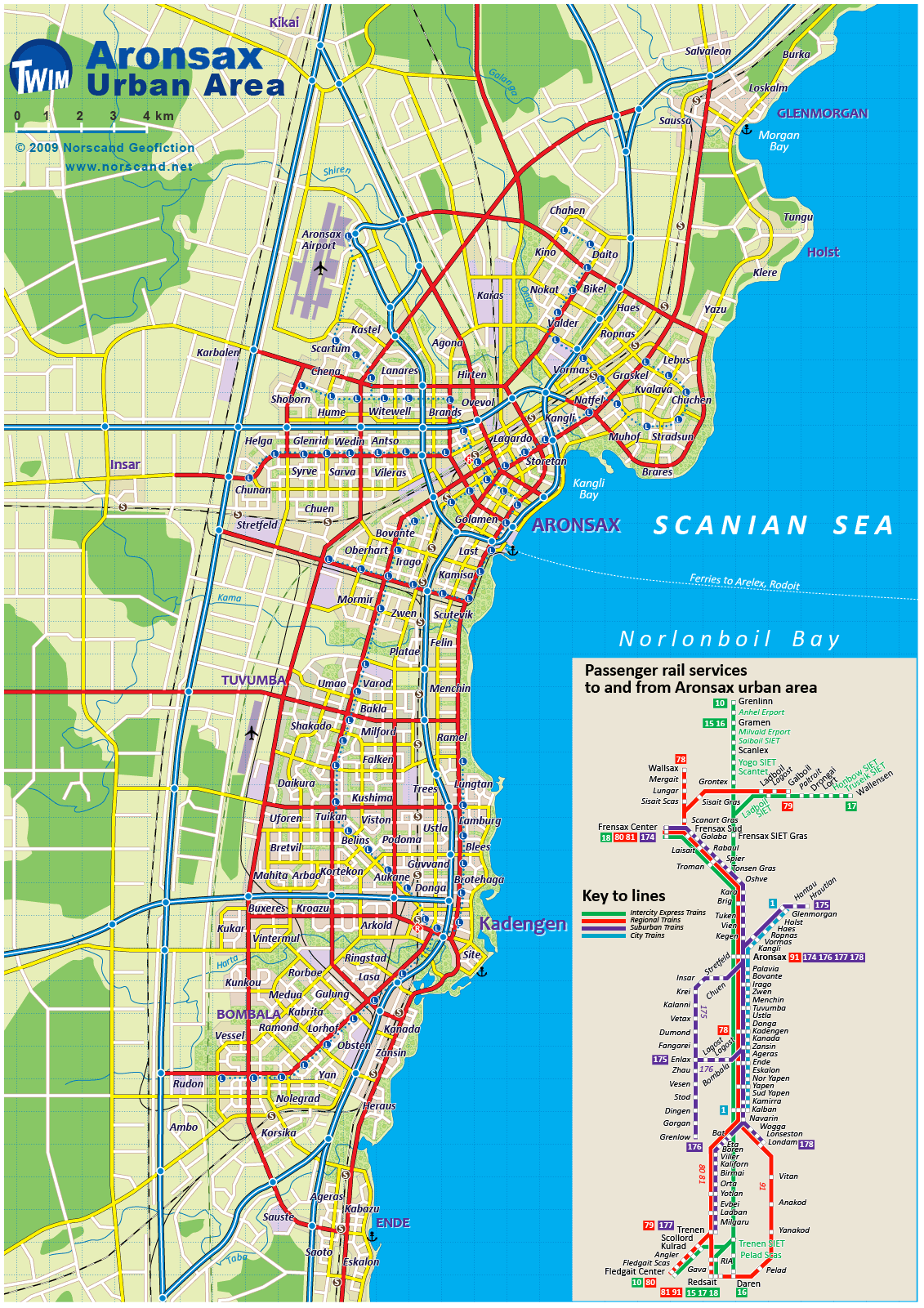
Aronsax Urban Area Map
(1131x 1601 pix, 0.4 Mb)
|
 |
| |
|
|
| Flag |
Coat of Arms |
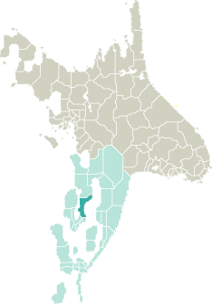
Location |
 |
 |
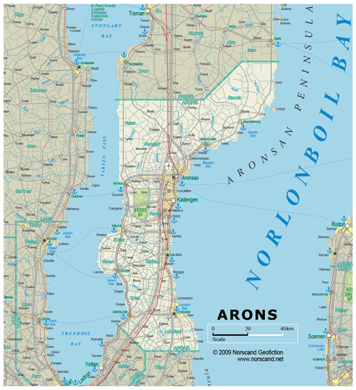
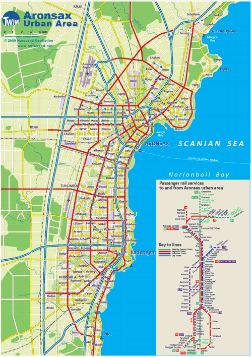
| Road maps for this area |
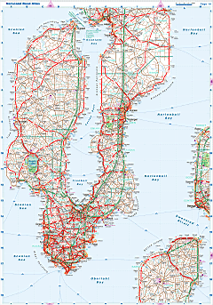 |
|
| |
|
| Location |
Western Garand |
| Area |
 Continental Continental |
6 163 sq.km |
| Isles |
7 sq.km |
| Water bodies |
0 sq.km |
| Total |
6 170 sq.km |
| Rank in Garand |
14 of 35 |
| Rank in Norscand |
48 of 103 |
| Size comparision |
X |
| Boundaries |
| Land |
153 km |
| Coastal (w/o isles) |
476 km |
| Population |
| Total |
567 652 |
| Rank in Garand |
19 of 35 |
| Rank in Norscand |
30 of 103 |
| 5 Largest towns |
| Aronsax |
168 262 |
| Kadengen |
96 208 |
| Kalban |
44 538 |
| Londam |
38 132 |
| Tuvumba |
19 964 |
| Administrative division |
| # of districts |
10 |
| County seat |
Aronsax |
| Transportation |
| Roadways: |
|
| Total length (paved, basic network) |
4 937km |
| Expressways |
548km |
| Road density |
0,80 km/sq.km |
| Share of expw |
11% |
| Railways |
|
| Total length |
686km |
| High-Speed Lines |
149 km |
| Airports |
|
| Total |
6 |
| Sched.service |
1 |
| Seaports |
|
| Total |
13 |
| |
|
|
|