| |
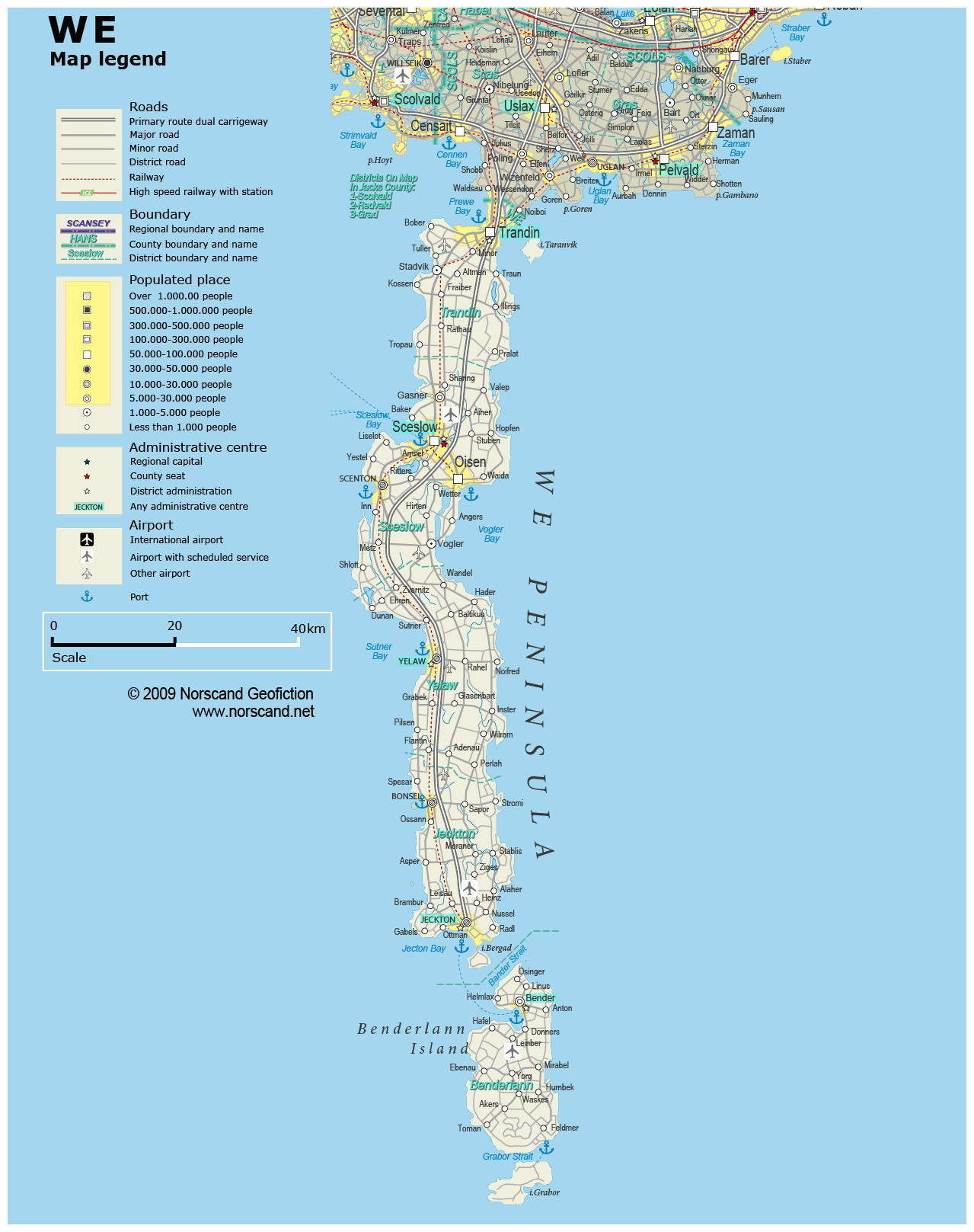
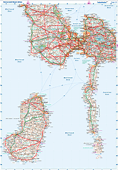
| General map (1279x1617, 0.20 mb) |
 |
| |
|
|
| Flag |
Coat of Arms |
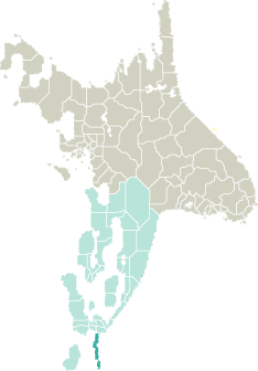
Location |
 |
 |
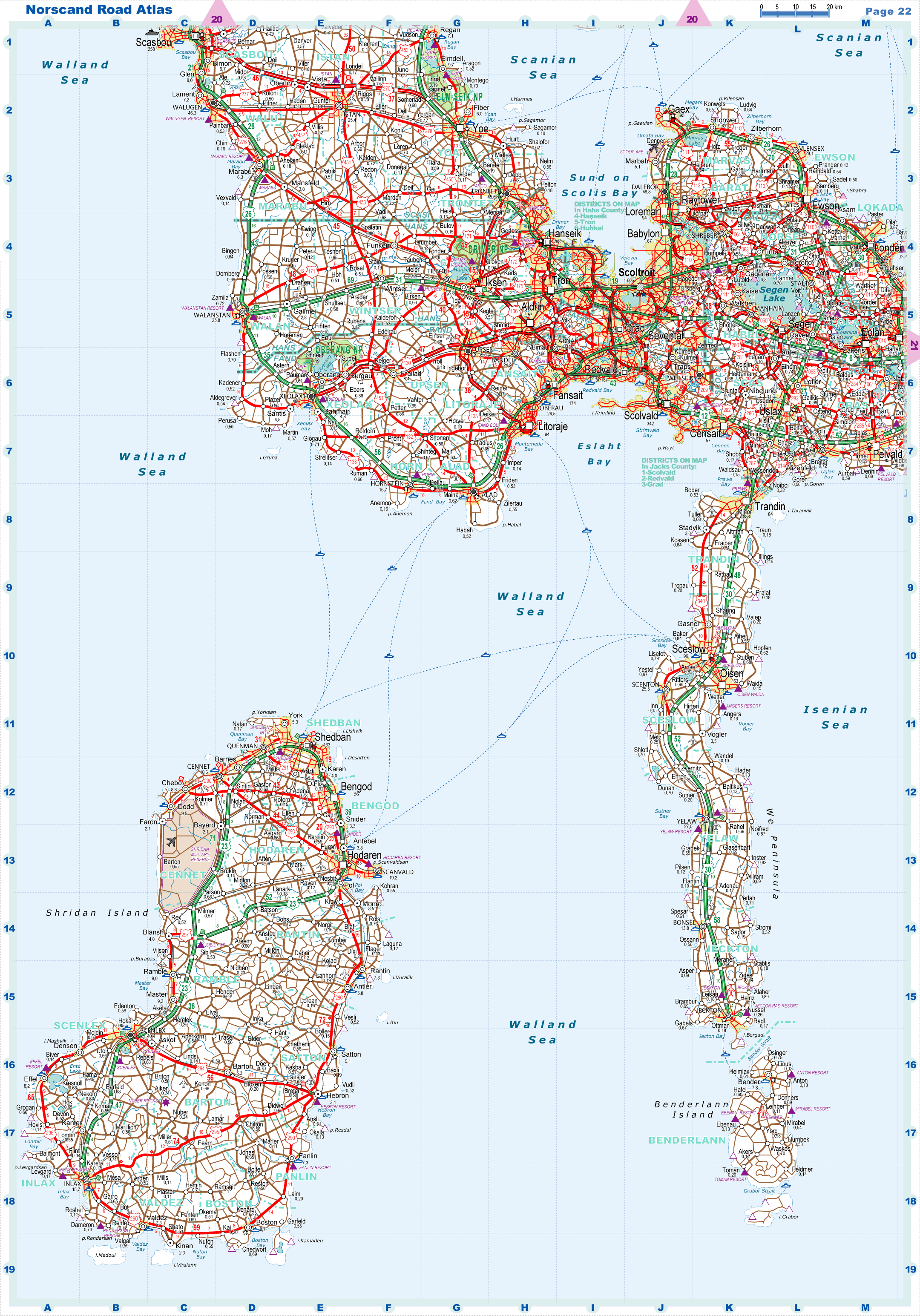
| Road maps for this area |
 |
|
| |
|
| Location |
Southern Garand |
| Area |
 Continental Continental |
1 606 sq.km |
| Isles |
2 103 sq.km |
| Water bodies |
18 sq.km |
| Total |
3 727 sq.km |
| Rank in Garand |
20 of 35 |
| Rank in Norscand |
67 of 103 |
| Size comparision |
X |
| Boundaries |
| Land |
9 km |
| Coastal (w/o isles) |
585 km |
| Population |
| Total |
375 969 |
| Rank in Garand |
29 of 35 |
| Rank in Norscand |
49 of 103 |
| 5 Largest towns |
| Sceslow |
95 642 |
| Trandin |
83 724 |
| Oisen |
53 390 |
| Yelaw |
27 040 |
| Scenton |
25 504 |
| Administrative division |
| # of districts |
5 |
| County seat |
Sceslow |
| Transportation |
| Roadways: |
|
| Total length (paved, basic network) |
2 310km |
| Expressways |
169km |
| Road density |
0,62 km/sq.km |
| Share of expw |
7% |
| Railways |
|
| Total length |
195km |
| High-Speed Lines |
0 km |
| Airports |
|
| Total |
7 |
| Sched.service |
3 |
| Seaports |
|
| Total |
7 |
| |
|
|
|