| |
| General map (1674x952, 0.27 mb) |
 |
| |
|
|
| Flag |
Coat of Arms |
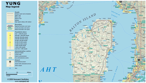
Location |
 |
 |
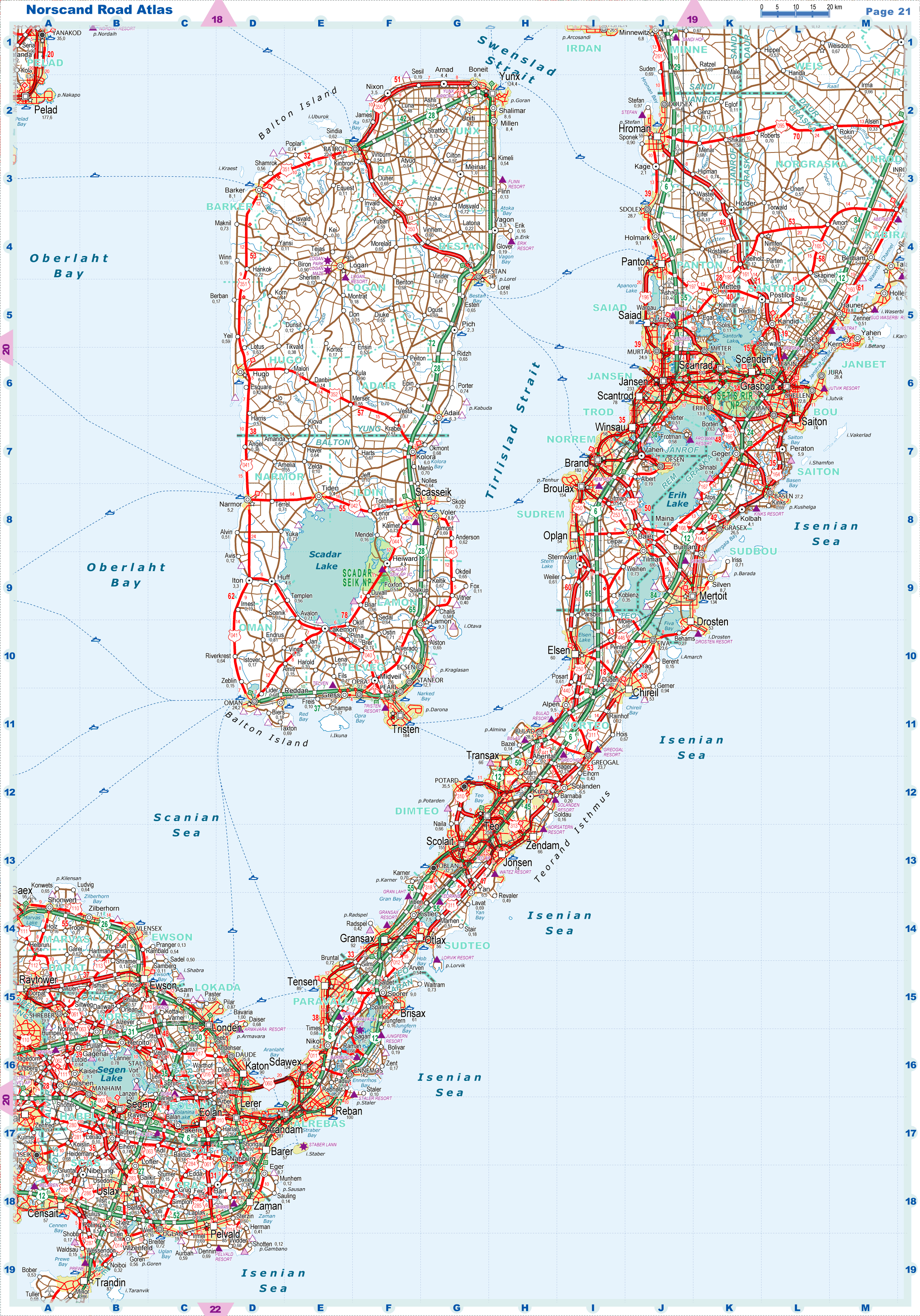
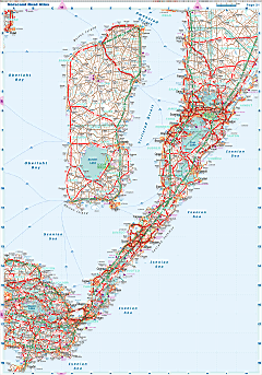
| Road maps for this area |
 |
|
| |
|
| Location |
Central Garand |
| Area |
 Continental Continental |
0 sq.km |
| Isles |
6 873 sq.km |
| Water bodies |
0 sq.km |
| Total |
6 873 sq.km |
| Rank in Garand |
13 of 35 |
| Rank in Norscand |
49 of 103 |
| Size comparision |
X |
| Boundaries |
| Land |
58 km |
| Coastal (w/o isles) |
454 km |
| Population |
| Total |
275 766 |
| Rank in Garand |
35 of 35 |
| Rank in Norscand |
68 of 103 |
| 5 Largest towns |
| Yunx |
124 392 |
| Bestan |
24 466 |
| Ratroit |
22 656 |
| Shalimar |
8 574 |
| Milen |
8 416 |
| Administrative division |
| # of districts |
7 |
| County seat |
Yunx |
| Transportation |
| Roadways: |
|
| Total length (paved, basic network) |
4 401km |
| Expressways |
247km |
| Road density |
0,64 km/sq.km |
| Share of expw |
6% |
| Railways |
|
| Total length |
159km |
| High-Speed Lines |
0 km |
| Airports |
|
| Total |
4 |
| Sched.service |
1 |
| Seaports |
|
| Total |
7 |
| |
|
|
|