| |
|
|
| Flag |
Coat of Arms |
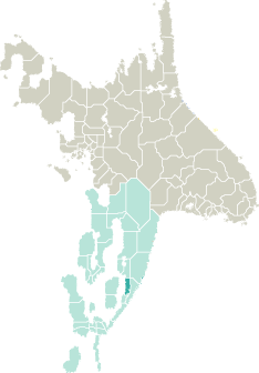
Location |
 |
 |
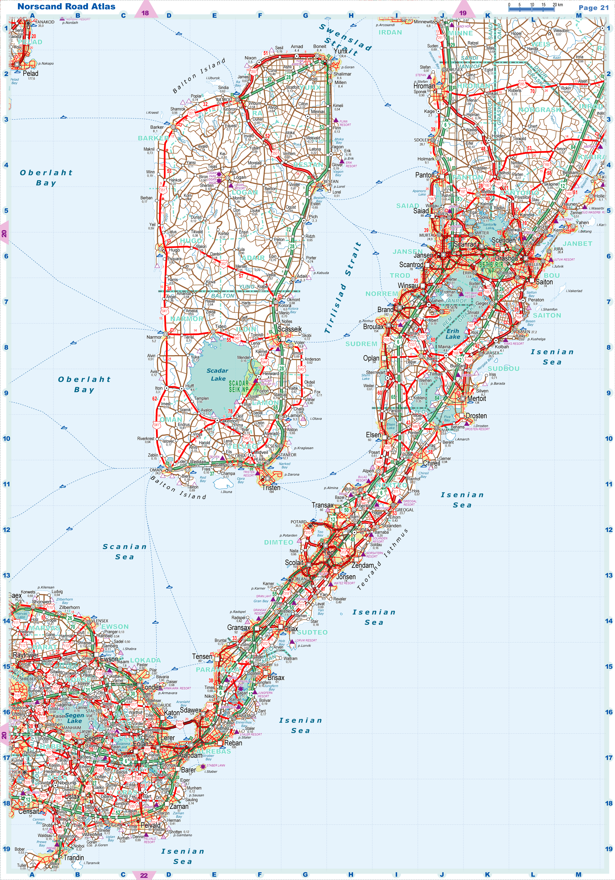
| Road maps for this area |
 |
|
| |
|
| Location |
Southeastern Garand |
| Area |
 Continental Continental |
2 589 sq.km |
| Isles |
26 sq.km |
| Water bodies |
301 sq.km |
| Total |
2 916 sq.km |
| Rank in Garand |
24 of 35 |
| Rank in Norscand |
76 of 103 |
| Size comparision |
X |
| Boundaries |
| Land |
127 km |
| Coastal (w/o isles) |
199 km |
| Population |
| Total |
895 313 |
| Rank in Garand |
5 of 35 |
| Rank in Norscand |
12 of 103 |
| 5 Largest towns |
| Jansen |
233 036 |
| Scanrad |
131 714 |
| Panton |
96 922 |
| Saiad |
87 764 |
| Scantrod |
77 734 |
| Administrative division |
| # of districts |
6 |
| County seat |
Jansen |
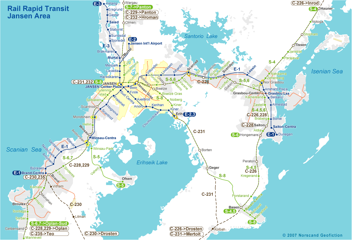
| Transportation |
| Roadways: |
|
| Total length (paved, basic network) |
2 396km |
| Expressways |
408km |
| Road density |
0,82 km/sq.km |
| Share of expw |
17% |
| Railways |
|
| Total length |
413km |
| High-Speed Lines |
107 km |
| Airports |
|
| Total |
3 |
| Sched.service |
1 |
| Seaports |
|
| Total |
6 |
| |
|
|
|