| |
|
|
| Flag |
Coat of Arms |
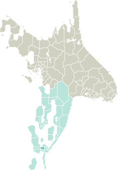
Location |
 |
 |
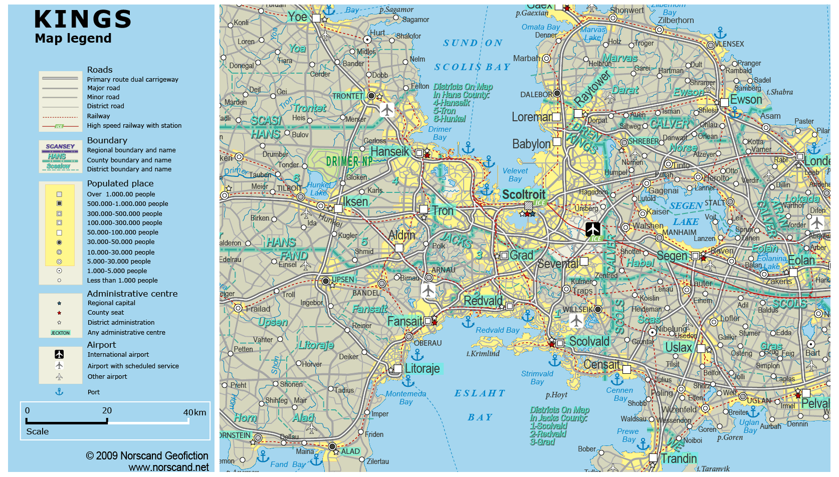
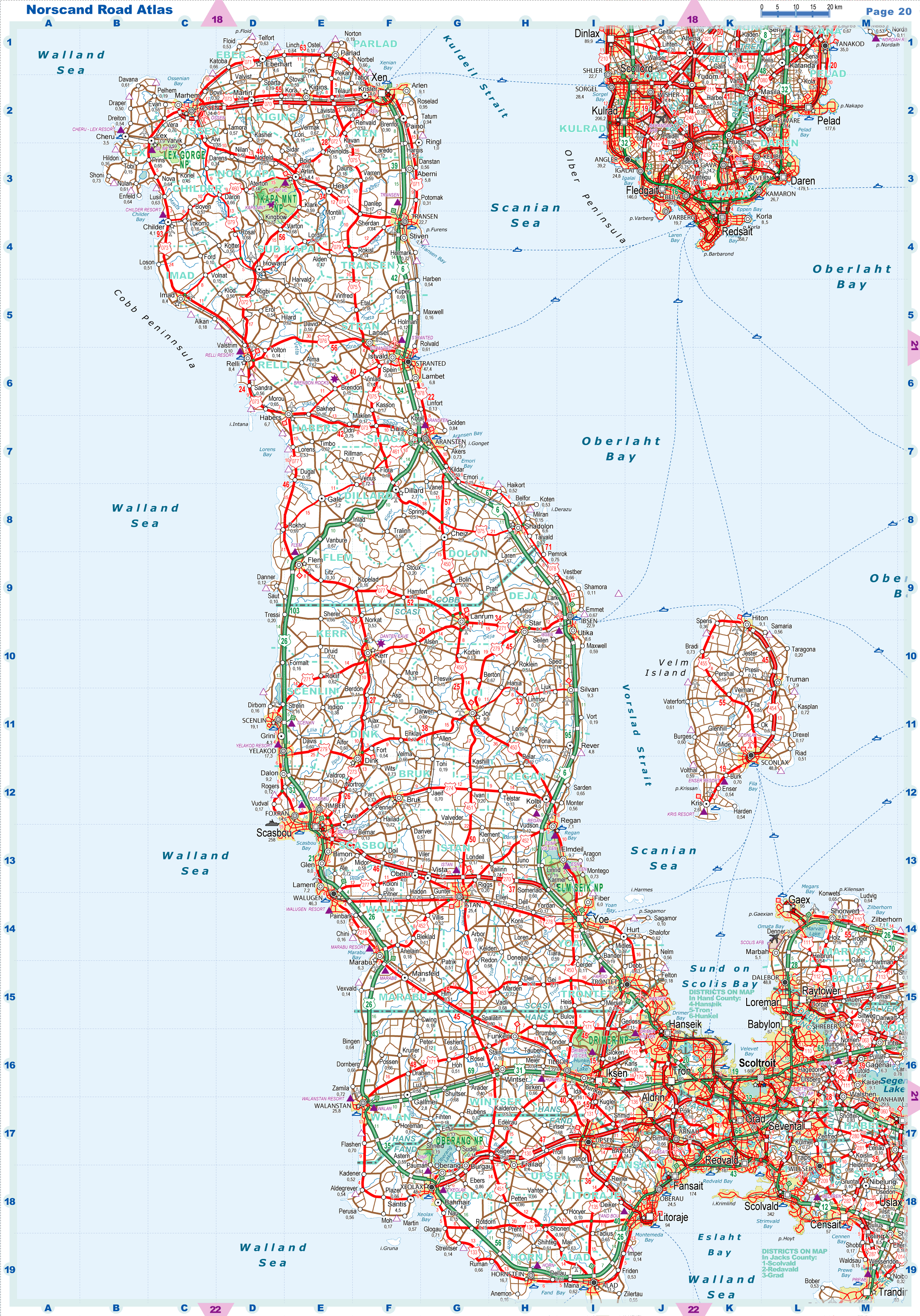
| Road maps for this area |
 |
|
| |
|
| Location |
Southern Garand |
| Area |
 Continental Continental |
941 sq.km |
| Isles |
0 sq.km |
| Water bodies |
51 sq.km |
| Total |
992 sq.km |
| Rank in Garand |
34 of 35 |
| Rank in Norscand |
100 of 103 |
| Size comparision |
X |
| Boundaries |
| Land |
129 km |
| Coastal (w/o isles) |
251 km |
| Population |
| Total |
1 832 404 |
| Rank in Garand |
1 of 35 |
| Rank in Norscand |
2 of 103 |
| 5 Largest towns |
| Scoltroit |
1 606 220 |
| Loremar |
94 390 |
| Babylon |
67 194 |
| Sevental |
63 900 |
| Ursberg |
700 |
| Administrative division |
| # of districts |
1 |
| County seat |
Scoltroit |
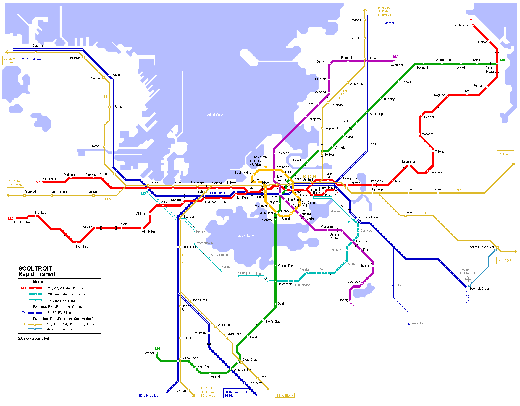
| Transportation |
| Roadways: |
|
| Total length (paved, basic network) |
1 390km |
| Expressways |
324km |
| Road density |
1,40 km/sq.km |
| Share of expw |
23% |
| Railways |
|
| Total length |
229km |
| High-Speed Lines |
18 km |
| Airports |
|
| Total |
1 |
| Sched.service |
1 |
| Seaports |
|
| Total |
3 |
 |
|
|
|