| |
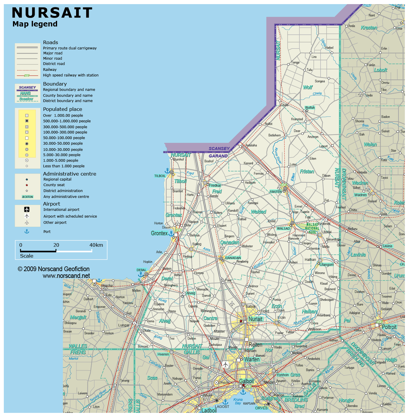
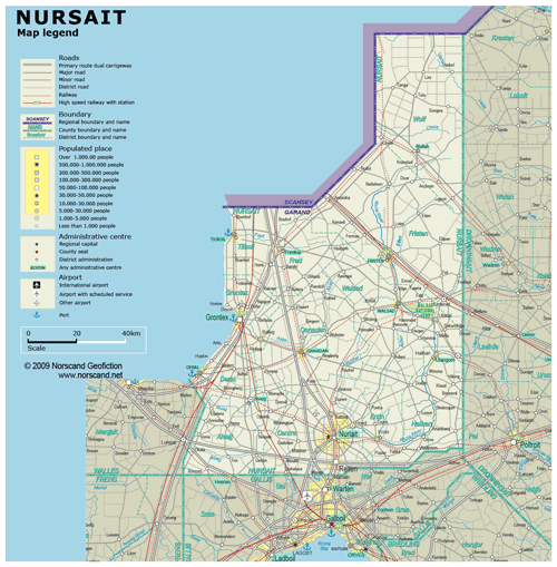
| General map (1392x1418, 0.36 mb) |
 |
| |
|
|
| Flag |
Coat of Arms |
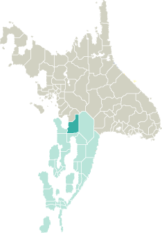
Location |
 |
 |
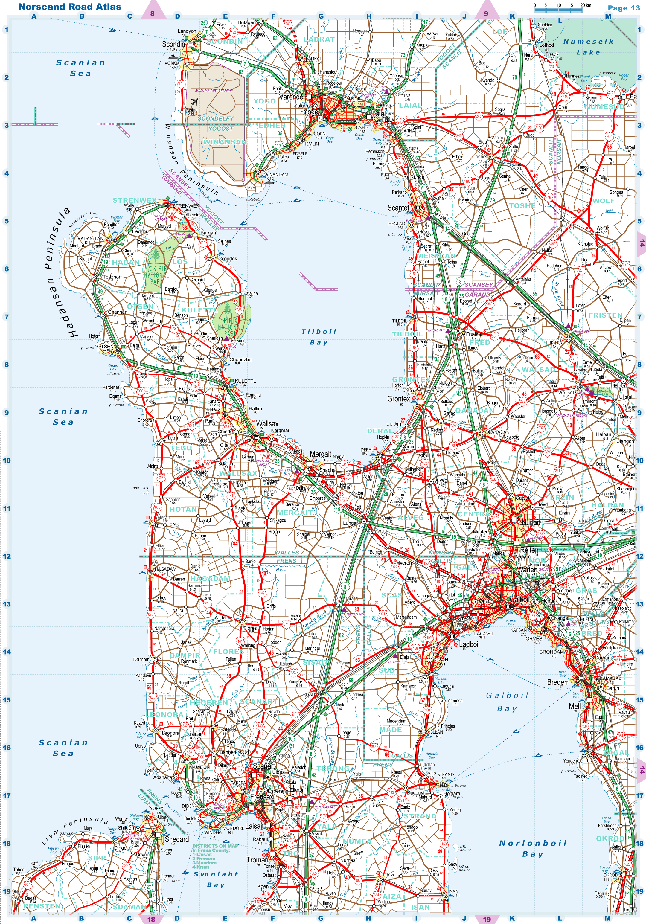
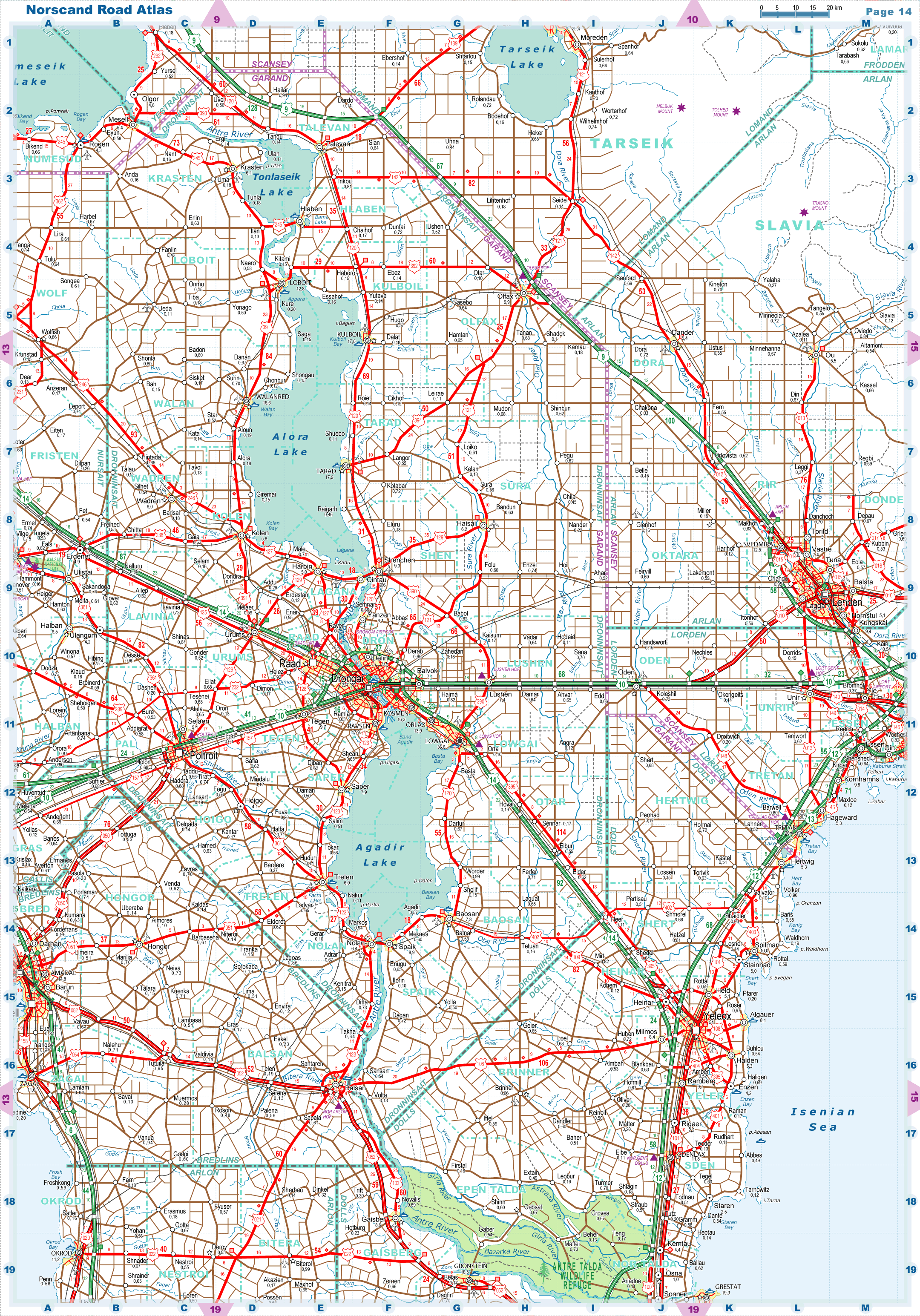
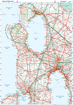
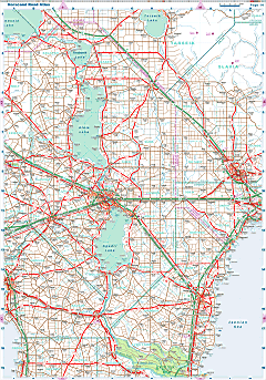
| Road maps for this area |
 |
 |
| |
|
| Location |
Northern Garand |
| Area |
 Continental Continental |
14 464 sq.km |
| Isles |
0 sq.km |
| Water bodies |
0 sq.km |
| Total |
14 464 sq.km |
| Rank in Garand |
5 of 35 |
| Rank in Norscand |
27 of 103 |
| Size comparision |
X |
| Boundaries |
| Land |
545 km |
| Coastal (w/o isles) |
91 km |
| Population |
| Total |
440 665 |
| Rank in Garand |
25 of 35 |
| Rank in Norscand |
40 of 103 |
| 5 Largest towns |
| Nurlait |
151 438 |
| Relten |
55 084 |
| Grontex |
53 066 |
| Deral |
19 026 |
| Fristen |
14 410 |
| Administrative division |
| # of districts |
12 |
| County seat |
Nurlait |
| Transportation |
| Roadways: |
|
| Total length (paved, basic network) |
6 005km |
| Expressways |
373km |
| Road density |
0,42 km/sq.km |
| Share of expw |
6% |
| Railways |
|
| Total length |
1 127km |
| High-Speed Lines |
229 km |
| Airports |
|
| Total |
4 |
| Sched.service |
0 |
| Seaports |
|
| Total |
3 |
| |
|
|
|