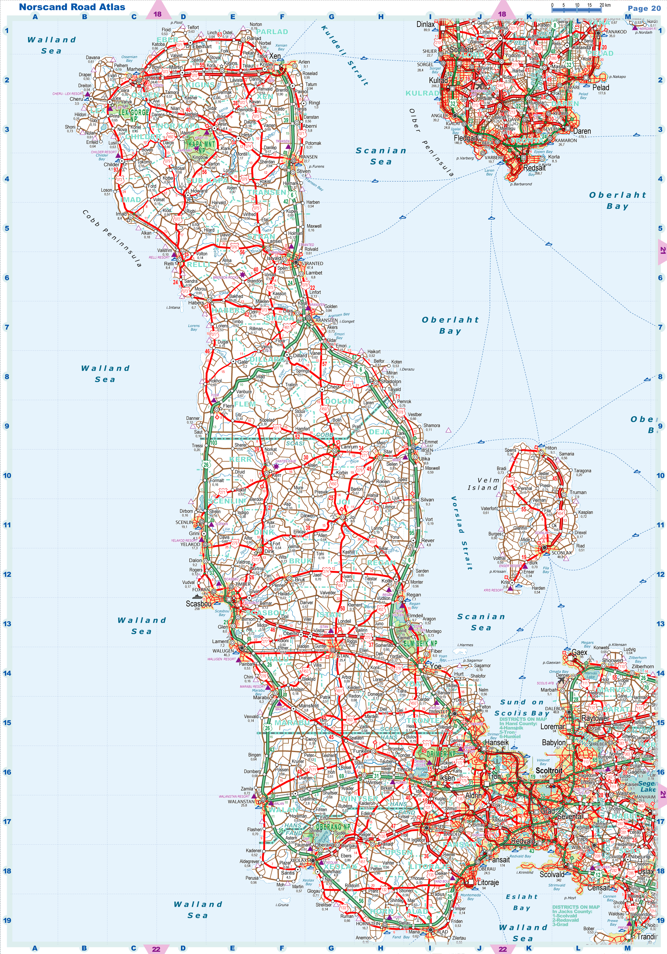
| |
|
|
| Flag |
Coat of Arms |
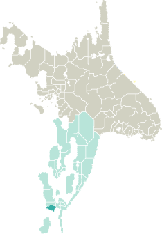
Location |
 |
 |
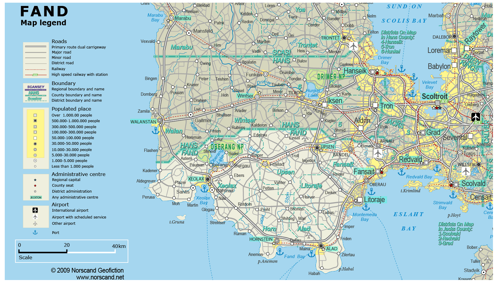
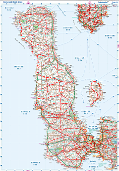
| Road maps for this area |
 |
|
| |
|
| Location |
Southern Garand |
| Area |
 Continental Continental |
3 543 sq.km |
| Isles |
6 sq.km |
| Water bodies |
50 sq.km |
| Total |
3 600 sq.km |
| Rank in Garand |
21 of 35 |
| Rank in Norscand |
70 of 103 |
| Size comparision |
X |
| Boundaries |
| Land |
198 km |
| Coastal (w/o isles) |
246 km |
| Population |
| Total |
514 522 |
| Rank in Garand |
23 of 35 |
| Rank in Norscand |
36 of 103 |
| 5 Largest towns |
| Fansait |
174 308 |
| Litoraje |
94 370 |
| Xeolax |
48 712 |
| Upsen |
35 048 |
| Alad |
31 236 |
| Administrative division |
| # of districts |
6 |
| County seat |
Fansait |
| Transportation |
| Roadways: |
|
| Total length (paved, basic network) |
2 428km |
| Expressways |
253km |
| Road density |
0,67 km/sq.km |
| Share of expw |
10% |
| Railways |
|
| Total length |
182km |
| High-Speed Lines |
0 km |
| Airports |
|
| Total |
4 |
| Sched.service |
1 |
| Seaports |
|
| Total |
5 |
| |
|
|
|