| |
|
|
| Flag |
Coat of Arms |
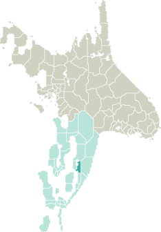
Location |
 |
 |
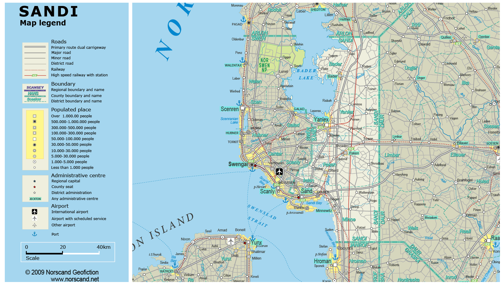
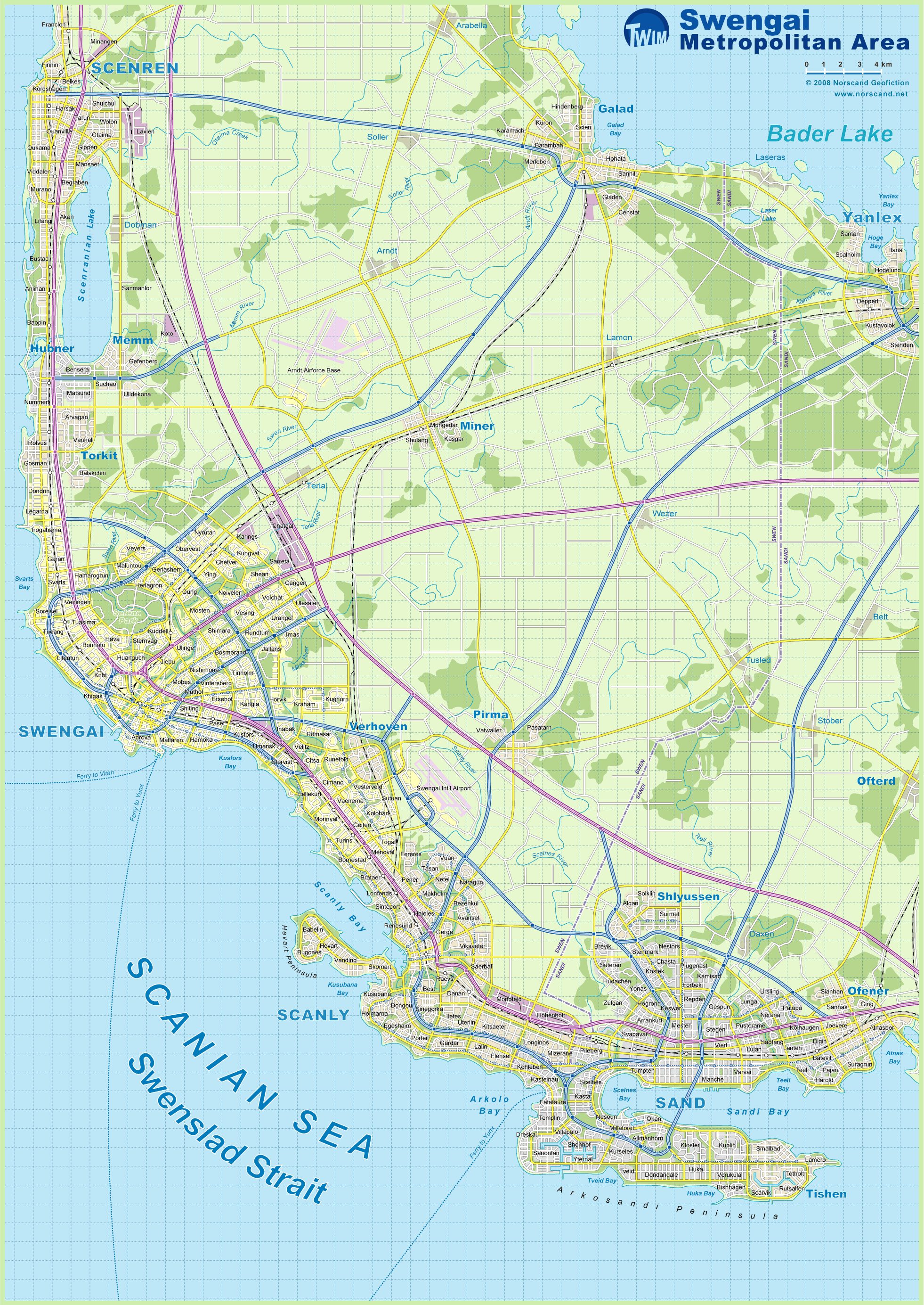
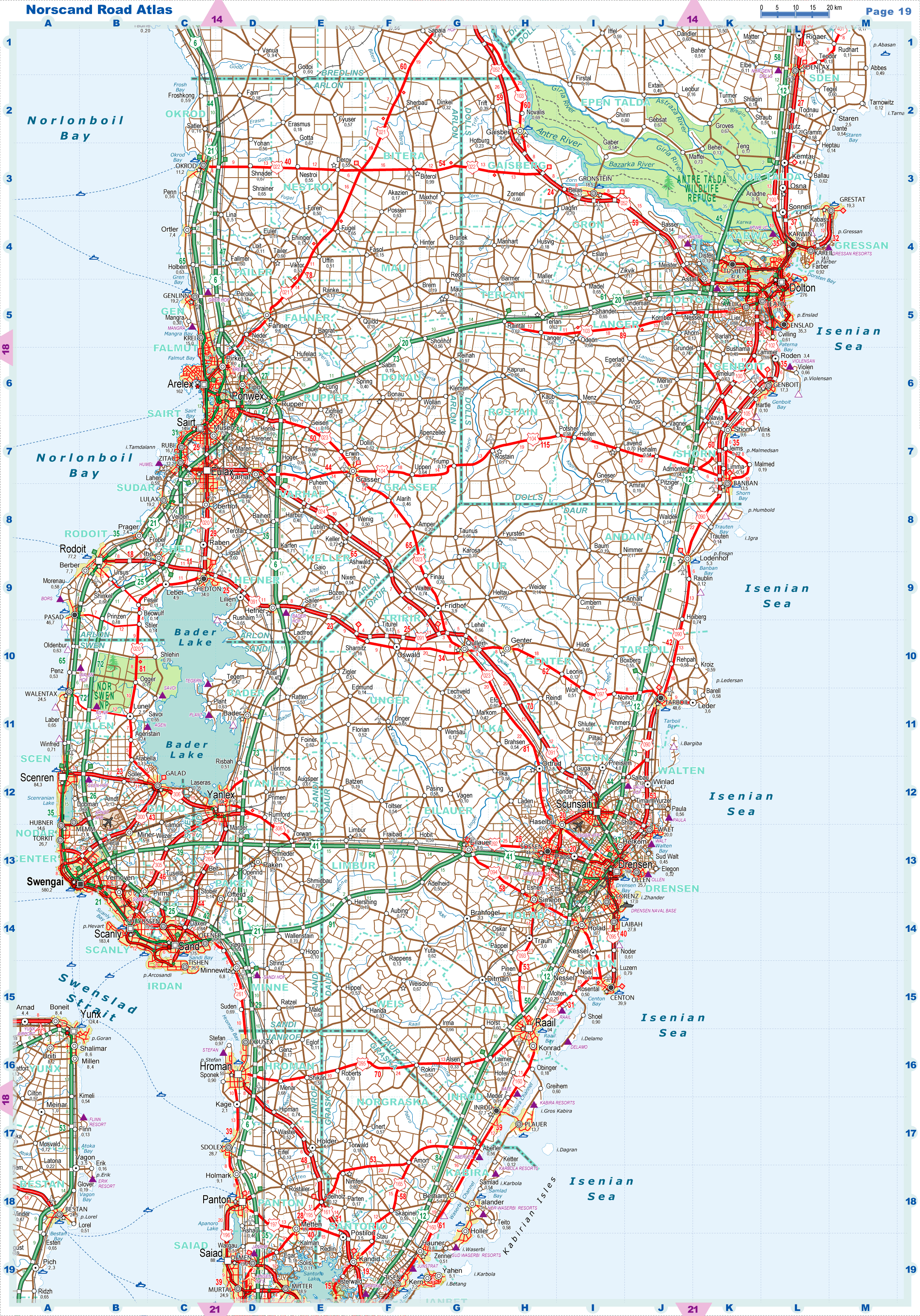
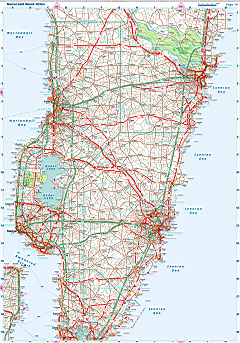
| Road maps for this area |
 |
|
| |
|
| Location |
Central Garand |
| Area |
 Continental Continental |
3 895 sq.km |
| Isles |
8 sq.km |
| Water bodies |
531 sq.km |
| Total |
4 434 sq.km |
| Rank in Garand |
19 of 35 |
| Rank in Norscand |
66 of 103 |
| Size comparision |
X |
| Boundaries |
| Land |
224 km |
| Coastal (w/o isles) |
139 km |
| Population |
| Total |
355 226 |
| Rank in Garand |
31 of 35 |
| Rank in Norscand |
52 of 103 |
| 5 Largest towns |
| Sand |
174 594 |
| Yanlex |
64 226 |
| Tishen |
26 666 |
| Ofener |
26 548 |
| Shlyussen |
19 910 |
| Administrative division |
| # of districts |
5 |
| County seat |
Sand |
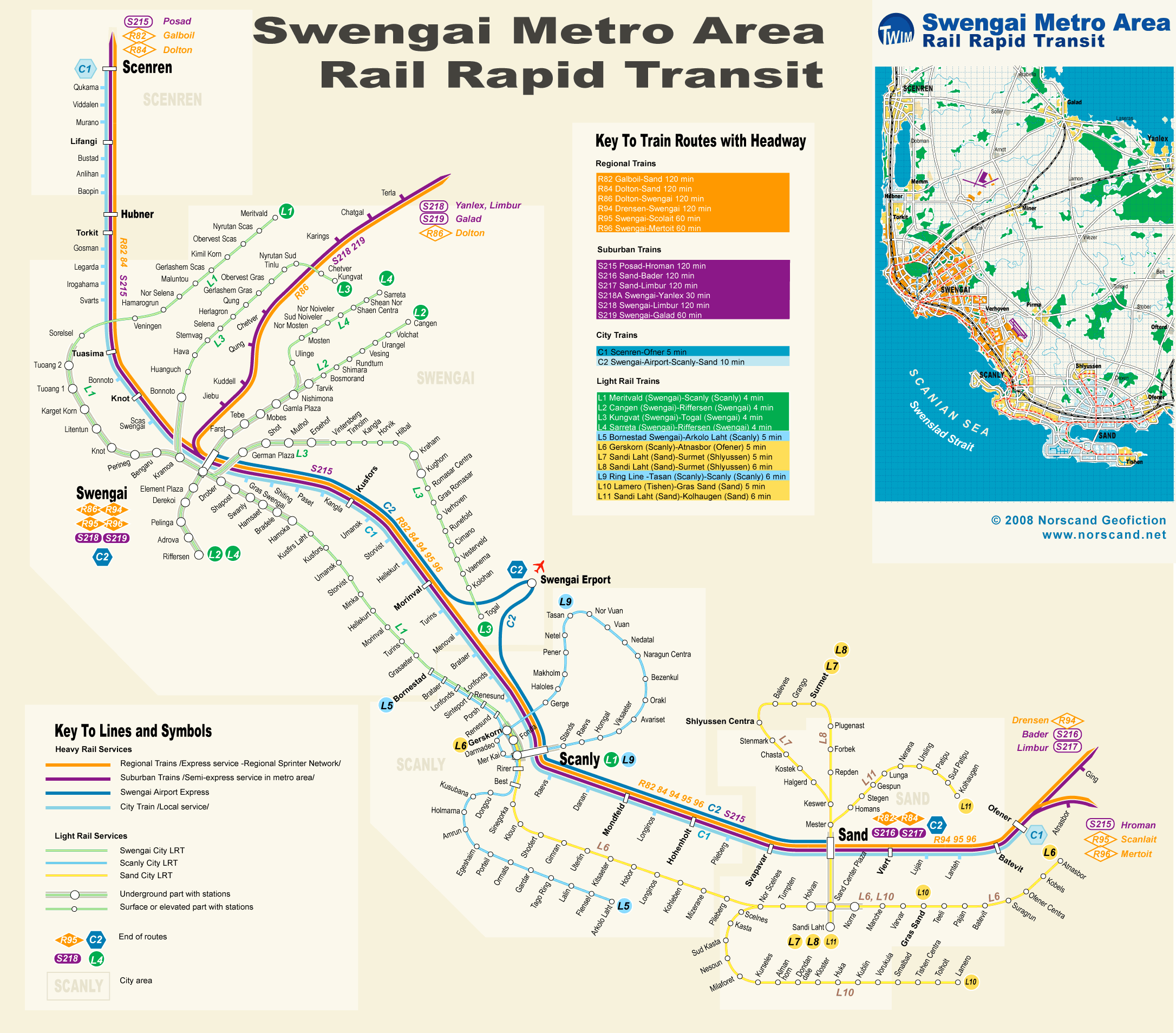
| Transportation |
| Roadways: |
|
| Total length (paved, basic network) |
2 678km |
| Expressways |
362km |
| Road density |
0,60 km/sq.km |
| Share of expw |
14% |
| Railways |
|
| Total length |
365km |
| High-Speed Lines |
129 km |
| Airports |
|
| Total |
3 |
| Sched.service |
0 |
| Seaports |
|
| Total |
2 |
| |
|
|
|