| |
|
|
| Flag |
Coat of Arms |
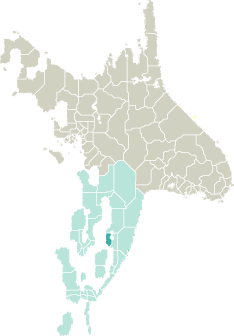
Location |
 |
 |
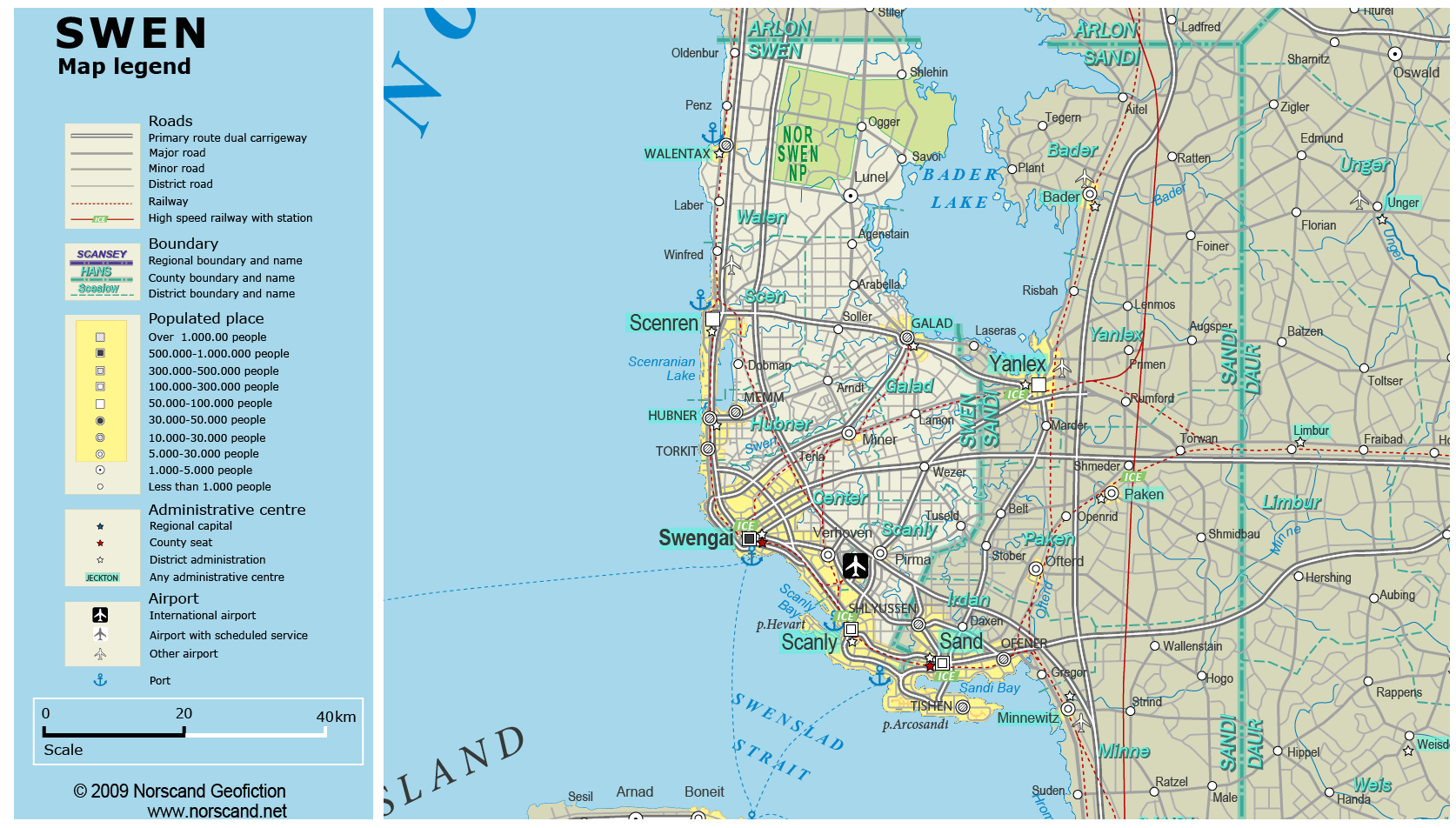
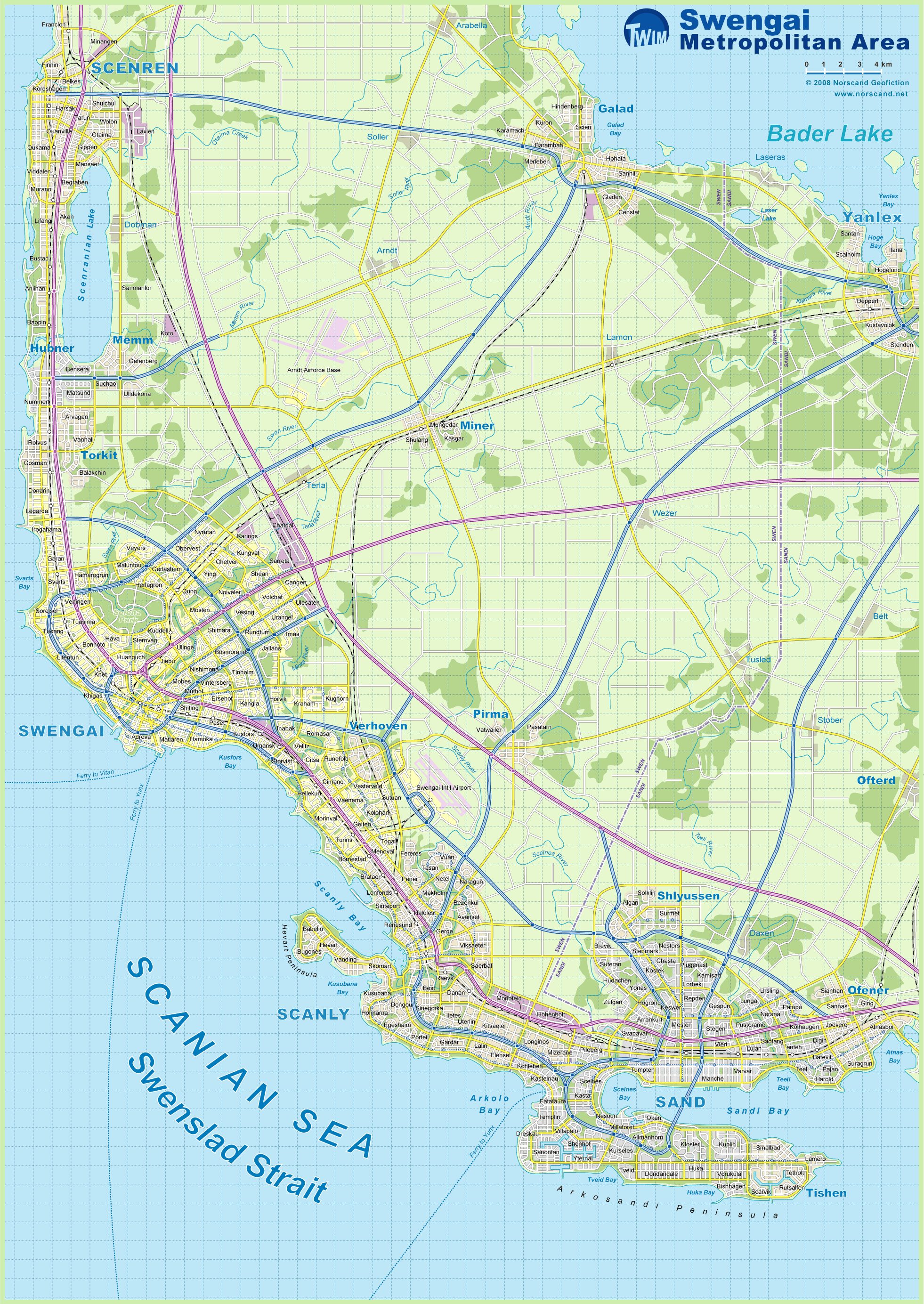
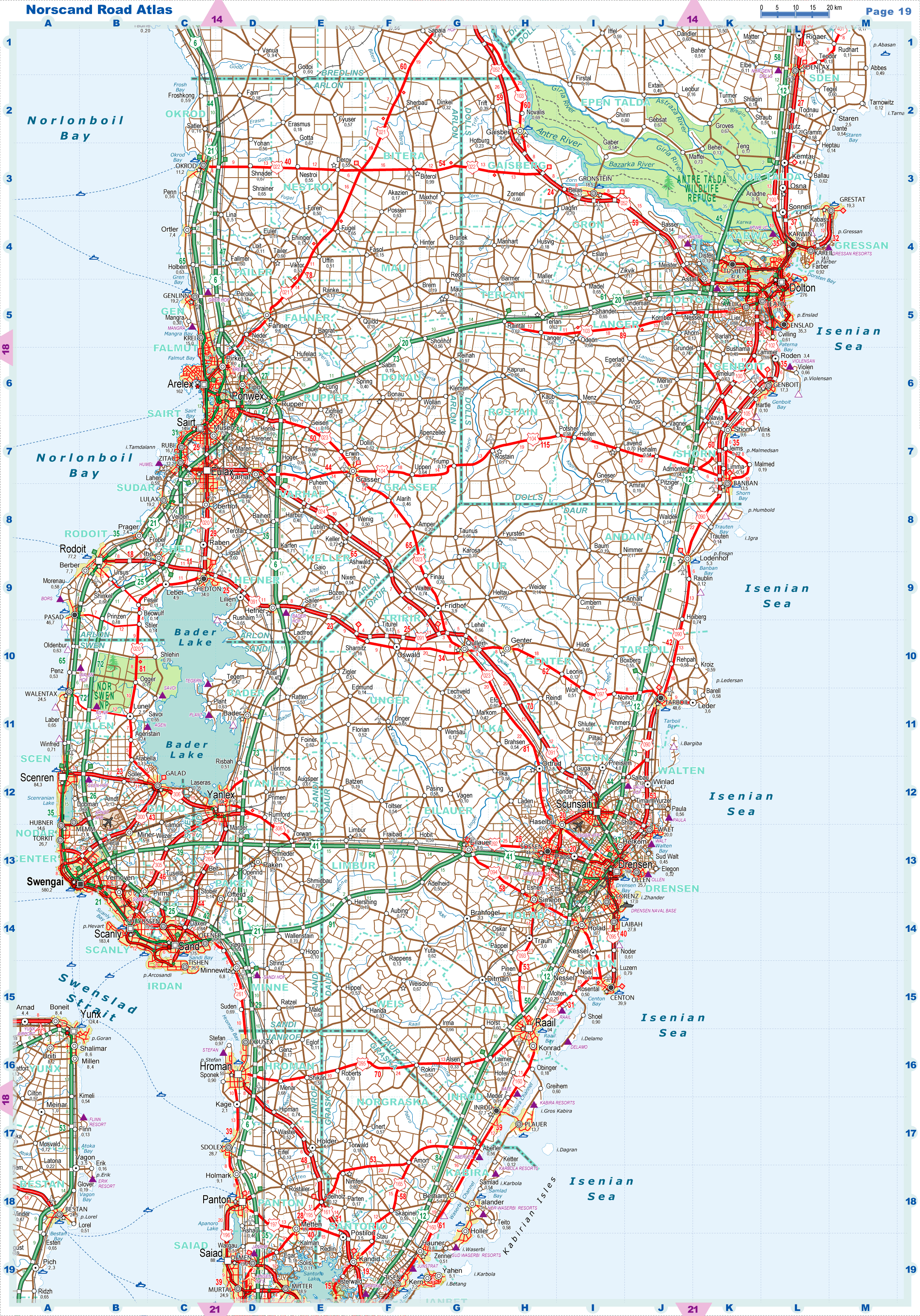
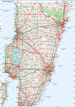
| Road maps for this area |
 |
|
| |
|
| Location |
Central Garand |
| Area |
 Continental Continental |
2 644 sq.km |
| Isles |
18 sq.km |
| Water bodies |
350 sq.km |
| Total |
3 011 sq.km |
| Rank in Garand |
23 of 35 |
| Rank in Norscand |
78 of 103 |
| Size comparision |
X |
| Boundaries |
| Land |
88 km |
| Coastal (w/o isles) |
166 km |
| Population |
| Total |
981 185 |
| Rank in Garand |
4 of 35 |
| Rank in Norscand |
11 of 103 |
| 5 Largest towns |
| Swengai |
580 232 |
| Scanly |
183 448 |
| Scenren |
84 290 |
| Torkit |
26 734 |
| Galad |
24 816 |
| Administrative division |
| # of districts |
6 |
| County seat |
Swengai |
| Transportation |
| Roadways: |
|
| Total length (paved, basic network) |
2 756km |
| Expressways |
436km |
| Road density |
0,92 km/sq.km |
| Share of expw |
16% |
| Railways |
|
| Total length |
235km |
| High-Speed Lines |
0 km |
| Airports |
|
| Total |
2 |
| Sched.service |
1 |
| Seaports |
|
| Total |
5 |
| |
|
|
|