| |
|
|
| Flag |
Coat of Arms |
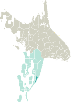
Location |
 |
 |
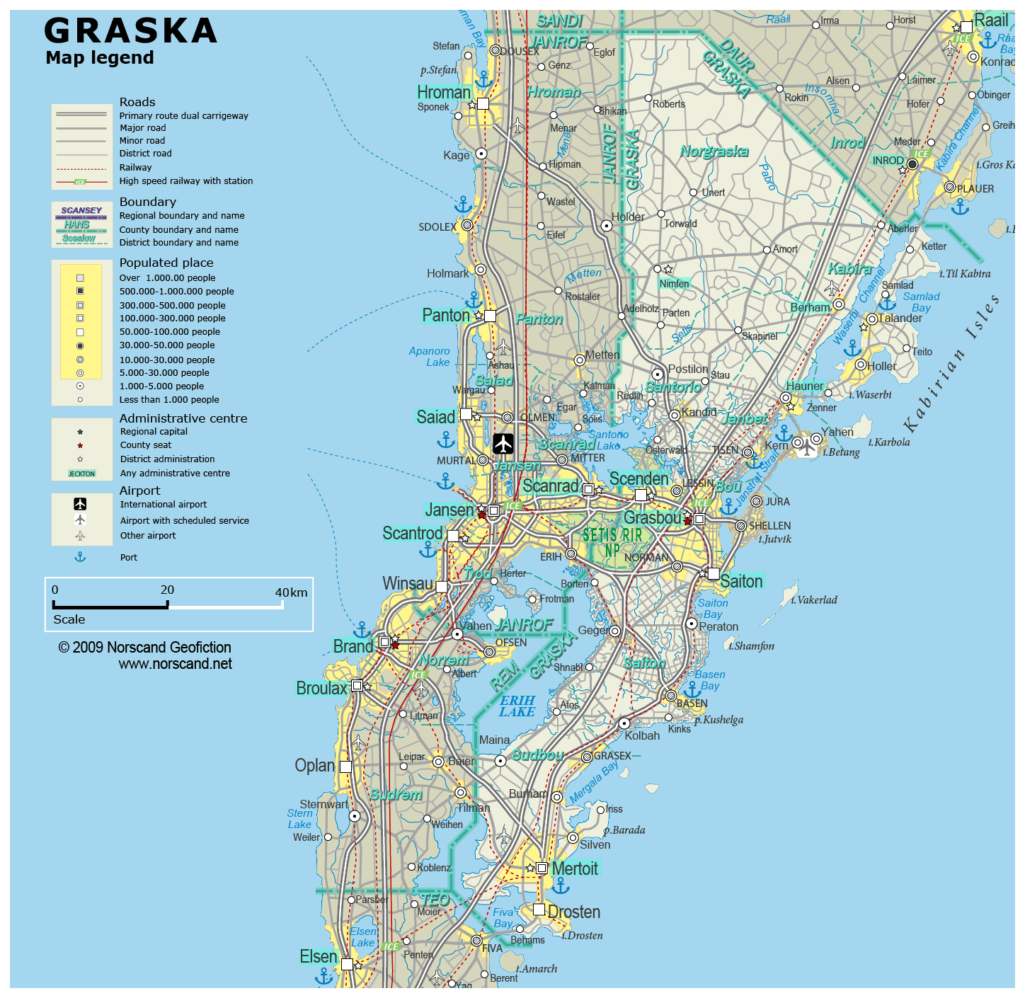
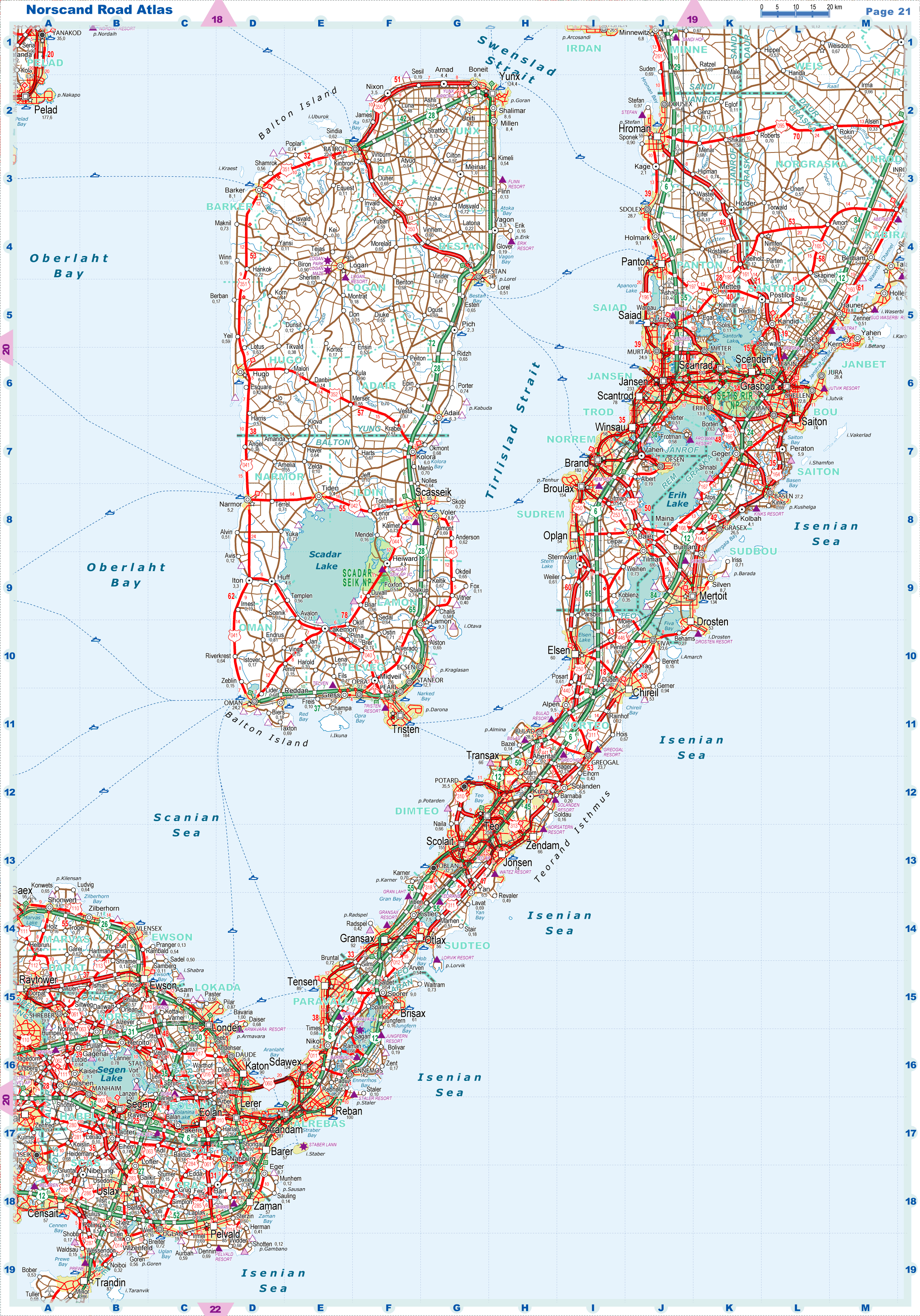
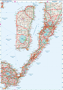
| Road maps for this area |
 |
|
| |
|
| Location |
Southeastern Garand |
| Area |
 Continental Continental |
4 217 sq.km |
| Isles |
353 sq.km |
| Water bodies |
212 sq.km |
| Total |
4 781 sq.km |
| Rank in Garand |
18 of 35 |
| Rank in Norscand |
61 of 103 |
| Size comparision |
X |
| Boundaries |
| Land |
162 km |
| Coastal (w/o isles) |
285 km |
| Population |
| Total |
784 920 |
| Rank in Garand |
10 of 35 |
| Rank in Norscand |
16 of 103 |
| 5 Largest towns |
| Grasbou |
174 416 |
| Mertoit |
133 822 |
| Scenden |
88 912 |
| Saiton |
74 468 |
| Drosten |
52 540 |
| Administrative division |
| # of districts |
7 |
| County seat |
Grasbou |
| Transportation |
| Roadways: |
|
| Total length (paved, basic network) |
3 974km |
| Expressways |
403km |
| Road density |
0,83 km/sq.km |
| Share of expw |
10% |
| Railways |
|
| Total length |
343km |
| High-Speed Lines |
0 km |
| Airports |
|
| Total |
3 |
| Sched.service |
1 |
| Seaports |
|
| Total |
7 |
| |
|
|
|