| |
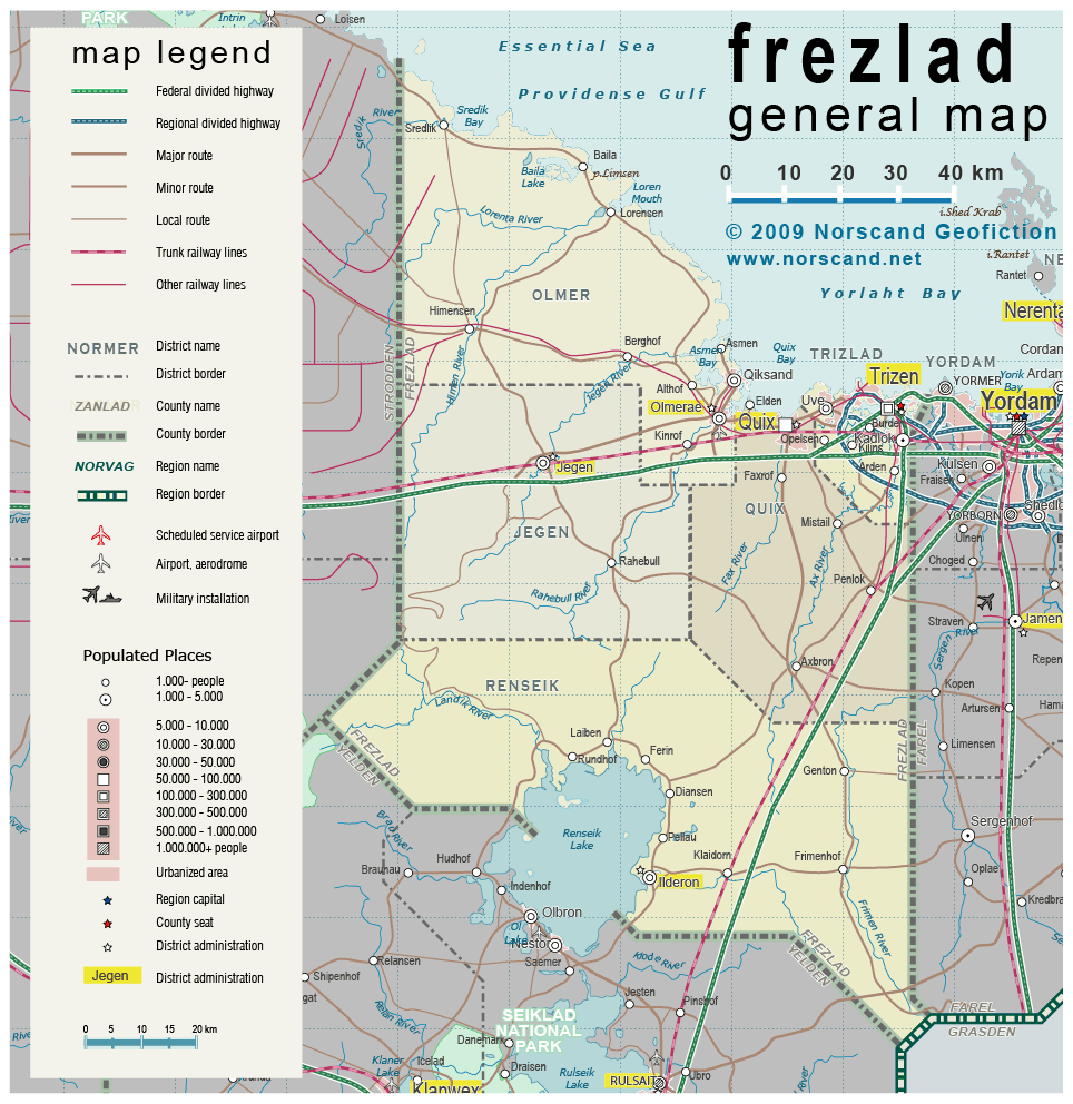
| General map (964x992, 426 kb) |
 |
|
|
| Flag |
Coat of Arms |
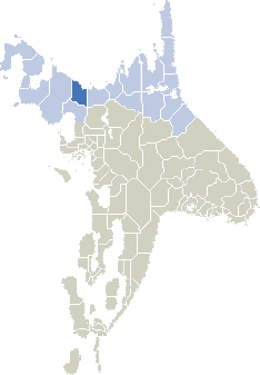
Location |
 |
 |
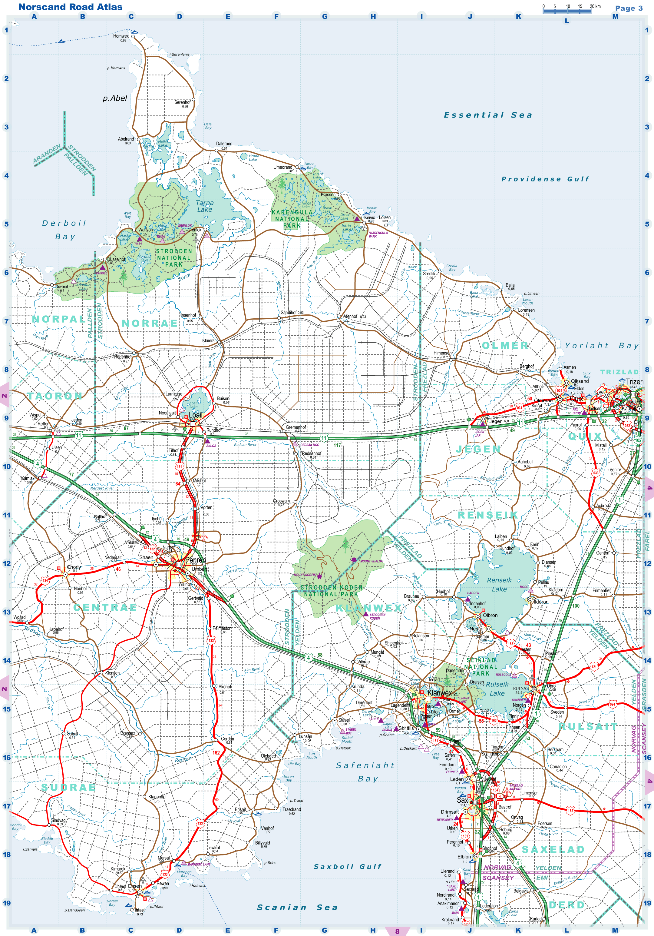
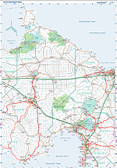
| Road maps for this area |
 |
| |
|
| Location |
Central Norvag |
| Area |
 Continental Continental |
10 610 sq.km |
| Isles |
3 sq.km |
| Water bodies |
4 sq.km |
| Total |
10 615 sq.km |
| Rank in Norvag |
16 of 17 |
| Rank in Norscand |
40 of 103 |
| Size comparision |
X |
| Boundaries |
| Land |
350 km |
| Coastal (w/o isles) |
310 km |
| Population |
| Total |
283 100 |
| Rank in Norvag |
5 of 17 |
| Rank in Norscand |
64 of 103 |
| 5 Largest towns |
| Trizen |
183 700 |
| Quix |
51 700 |
| Quiksand |
9 000 |
| Uve |
7 500 |
| Olmerae |
7 300 |
| Administrative division |
| # of districts |
5 |
| County seat |
|
| Transportation |
| Roadways: |
|
| Total length (paved, basic network) |
1310 km |
| Expressways |
280 km |
| Road density |
0.12 km/sq.km |
| Share of expw |
21 % |
| Railways |
|
| Total length |
360 km |
| High-Speed Lines |
0 km |
| Airports |
|
| Total |
1 |
| Sched.service |
0 |
| Seaports |
|
| Total |
4 |
| |
|
|
|