| |
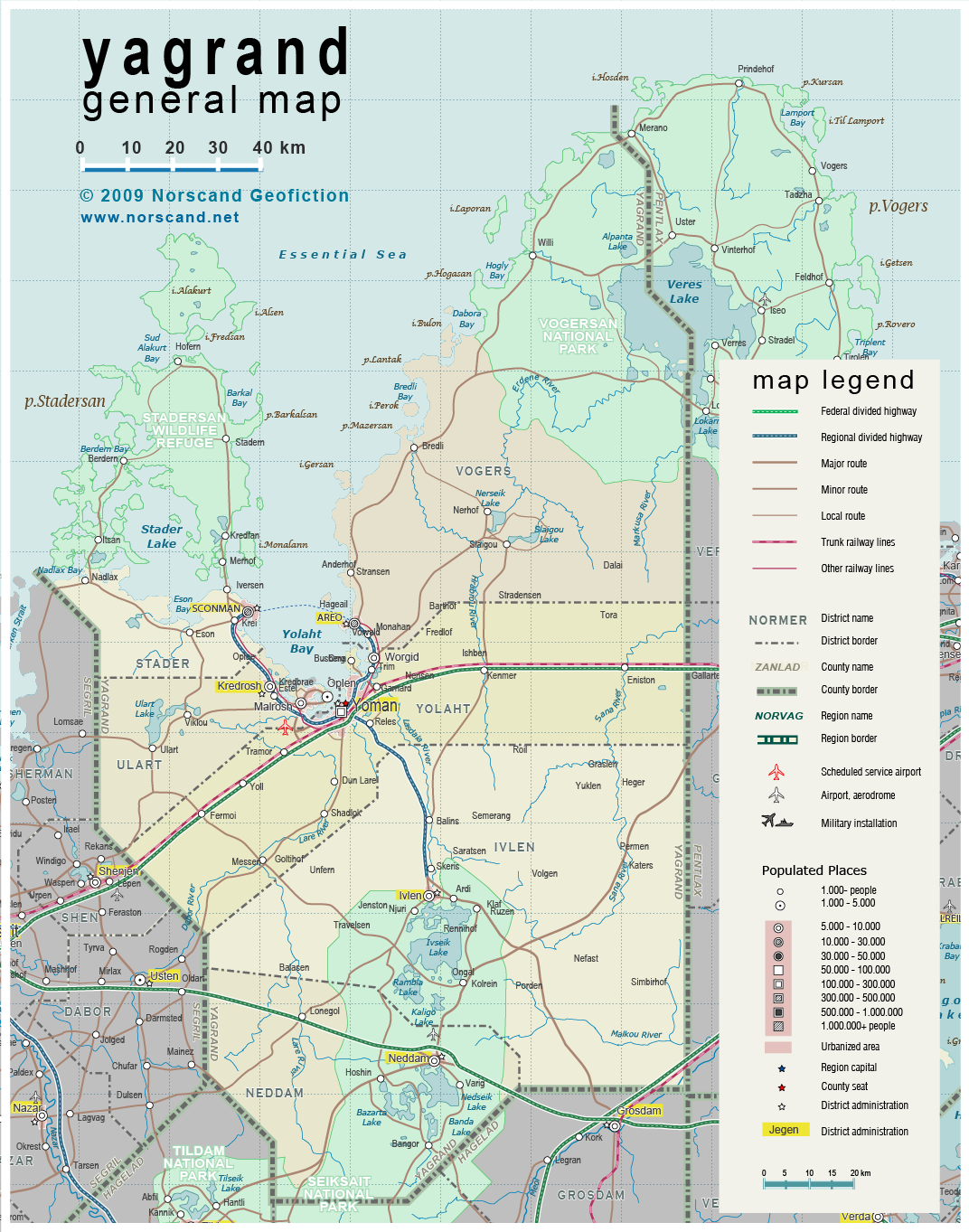
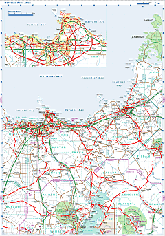
| General map (1072x1363, 614 kb) |
 |
|
|
| Flag |
Coat of Arms |
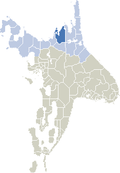
Location |
 |
 |
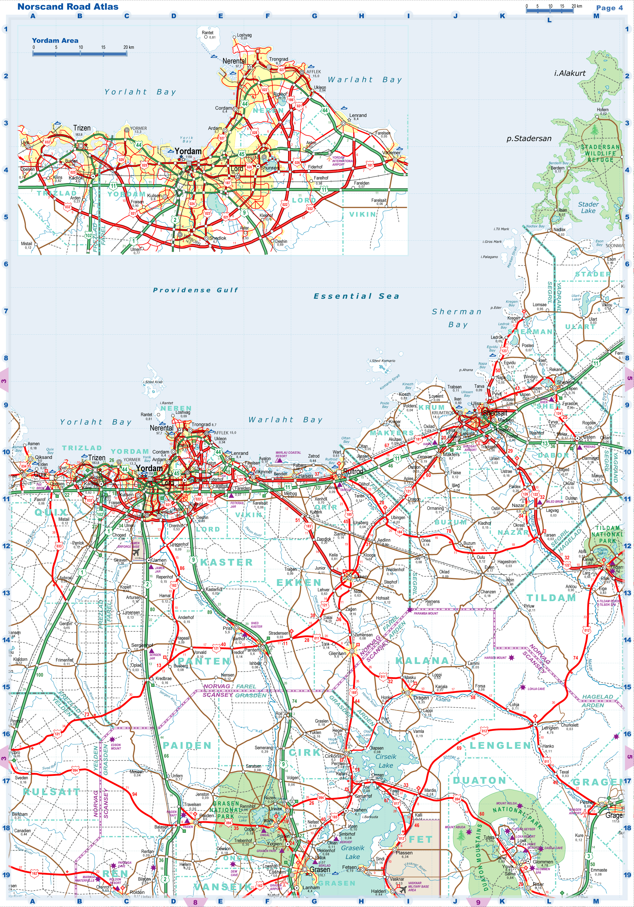
| Road maps for this area |
 |
| |
|
| Location |
Eastern Norvag |
| Area |
 Continental Continental |
19 929 sq.km |
| Isles |
395 sq.km |
| Water bodies |
665 sq.km |
| Total |
20 630 sq.km |
| Rank in Norvag |
4 of 17 |
| Rank in Norscand |
13 of 103 |
| Size comparision |
New Jersey |
| Boundaries |
| Land |
315 km |
| Coastal (w/o isles) |
315 km |
| Population |
| Total |
215 700 |
| Rank in Norvag |
13 of 17 |
| Rank in Norscand |
87 of 103 |
| 5 Largest towns |
| Yoman |
126 500 |
| Sconman |
19 100 |
| Areo |
13 000 |
| Neddam |
9 800 |
| Kredrosh |
9 700 |
| Administrative division |
| # of districts |
6 |
| County seat |
Yoman |
| Transportation |
| Roadways: |
|
| Total length (paved, basic network) |
1750 km |
| Expressways |
330 km |
| Road density |
0.09 km/sq.km |
| Share of expw |
19 % |
| Railways |
|
| Total length |
200 km |
| High-Speed Lines |
0 km |
| Airports |
|
| Total |
3 |
| Sched.service |
1 |
| Seaports |
|
| Total |
3 |
| |
|
|
|