| |
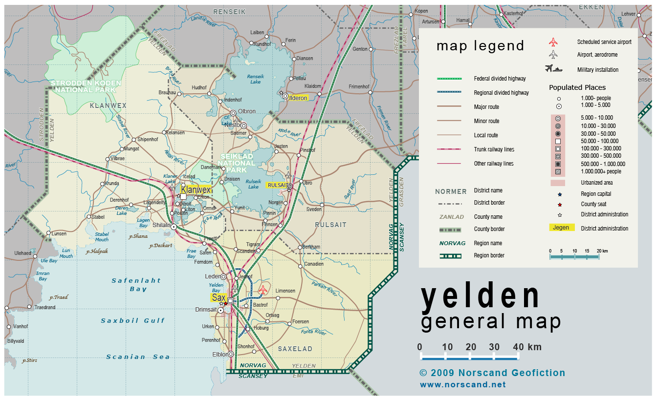
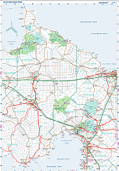
| General map (1342x819, 422 kb) |
 |
|
|
| Flag |
Coat of Arms |
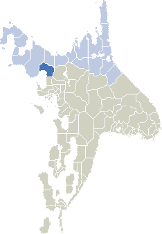
Location |
 |
 |
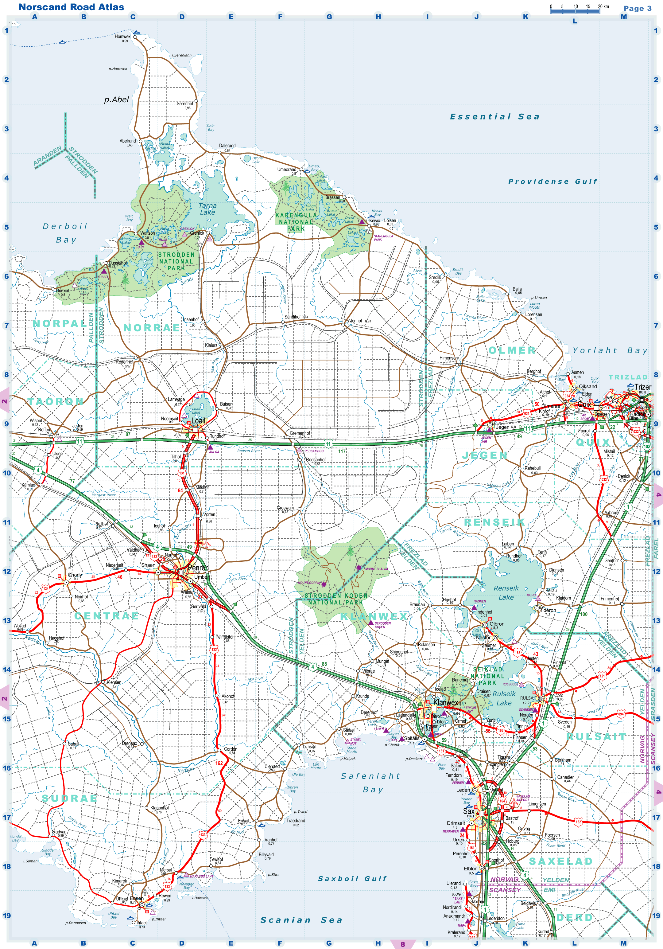
| Road maps for this area |
 |
| |
|
| Location |
Southwestern Norvag |
| Area |
 Continental Continental |
11 987 sq.km |
| Isles |
4 sq.km |
| Water bodies |
3 117 sq.km |
| Total |
12 223 sq.km |
| Rank in Norvag |
13 of 17 |
| Rank in Norscand |
35 of 103 |
| Size comparision |
Connecticut |
| Boundaries |
| Land |
370 km |
| Coastal (w/o isles) |
280 km |
| Population |
| Total |
245 800 |
| Rank in Norvag |
14 of 17 |
| Rank in Norscand |
78 of 103 |
| 5 Largest towns |
| Sax |
114 100 |
| Klanwex |
52 700 |
| Rulsait |
25 500 |
| Elblon |
9 500 |
| Nestor |
8 400 |
| Administrative division |
| # of districts |
3 |
| County seat |
Sax |
| Transportation |
| Roadways: |
|
| Total length (paved, basic network) |
1800 km |
| Expressways |
310 km |
| Road density |
0.15 km/sq.km |
| Share of expw |
17 % |
| Railways |
|
| Total length |
250 km |
| High-Speed Lines |
0 km |
| Airports |
|
| Total |
5 |
| Sched.service |
1 |
| Seaports |
|
| Total |
4 |
| |
|
|
|