| |
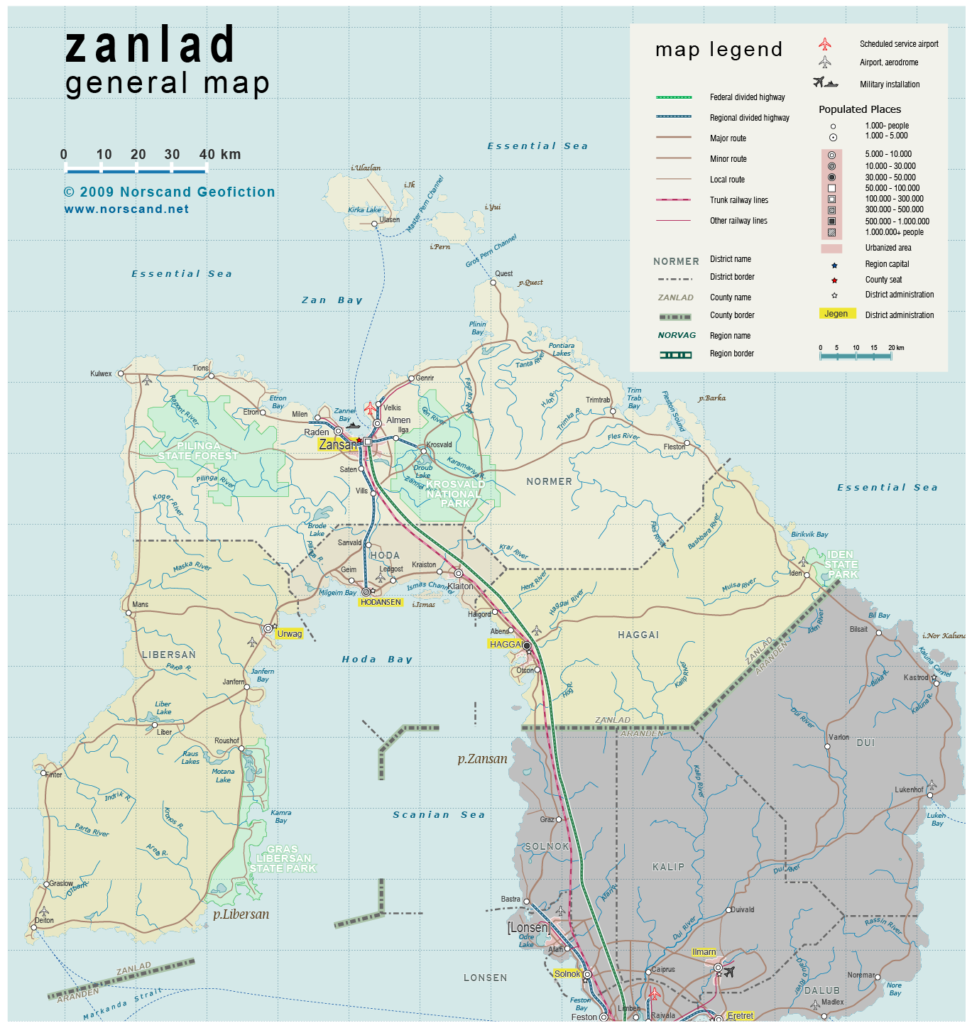
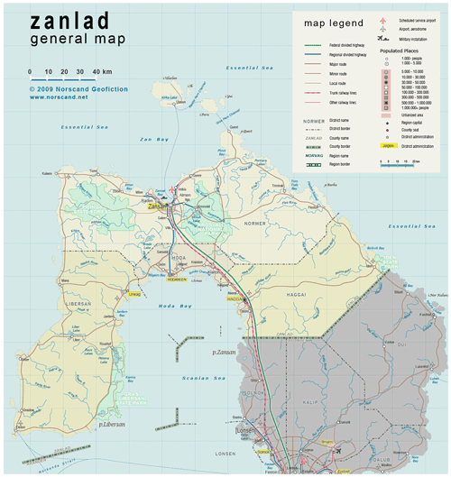
| General map (1369x1448, 571 kb) |
 |
|
|
| Flag |
Coat of Arms |
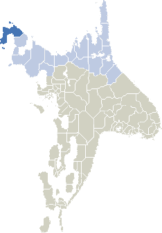
Location |
 |
 |
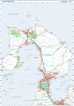
| Road maps for this area |
 |
| |
|
| Location |
Northwestern Norvag |
| Area |
 Continental Continental |
18 655 sq.km |
| Isles |
372 sq.km |
| Water bodies |
76 sq.km |
| Total |
19 028 sq.km |
| Rank in Norvag |
5 of 17 |
| Rank in Norscand |
17 of 103 |
| Size comparision |
New Jersey |
| Boundaries |
| Land |
110 km |
| Coastal (w/o isles) |
1320 km |
| Population |
| Total |
239 110 |
| Rank in Norvag |
11 of 17 |
| Rank in Norscand |
79 of 103 |
| 5 Largest towns |
| Zansan |
116 300 |
| Haggai |
48 100 |
| Hodansen |
19 200 |
| Urwag |
9 600 |
| Raden |
9 200 |
| Administrative division |
| # of districts |
4 |
| County seat |
Zansan |
| Transportation |
| Roadways: |
|
| Total length (paved, basic network) |
1 720 km |
| Expressways |
190 km |
| Road density |
0.09 km/sq.km |
| Share of expw |
11 % |
| Railways |
|
| Total length |
135 km |
| High-Speed Lines |
0 km |
| Airports |
|
| Total |
7 |
| Sched.service |
1 |
| Seaports |
|
| Total |
15 |
| |
|
|
|