| |
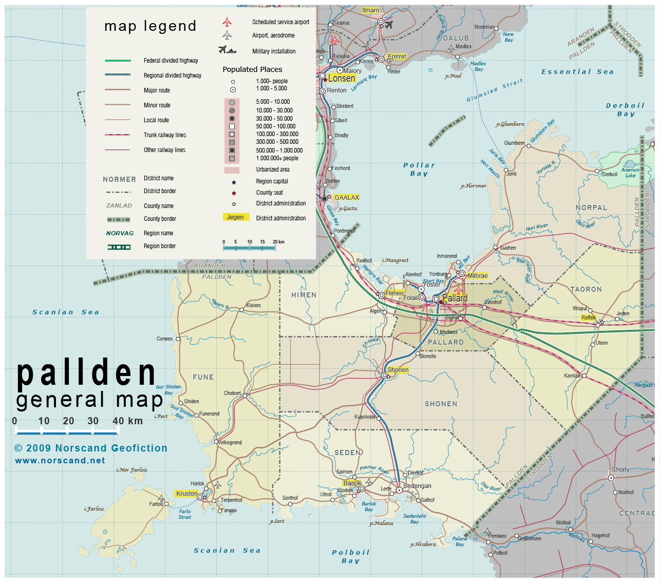
| General map (1258x1133, 508 kb) |
 |
|
|
| Flag |
Coat of Arms |
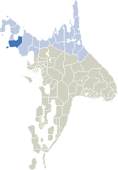
Location |
 |
 |
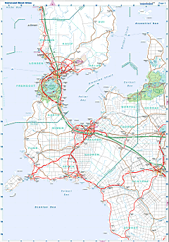
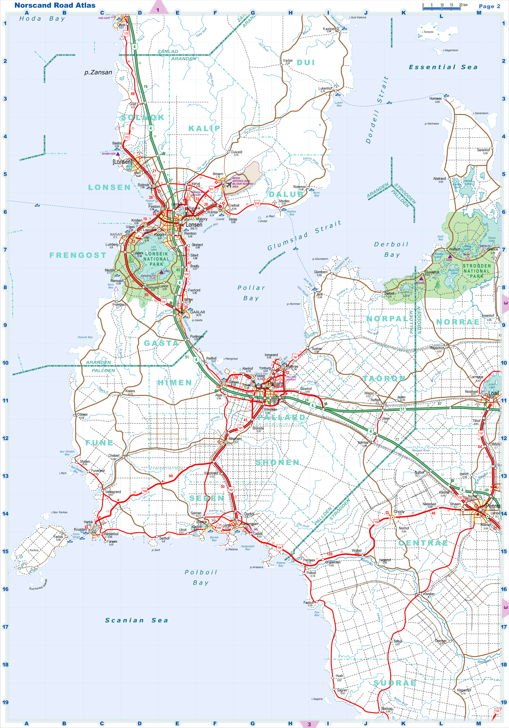
| Road maps for this area |
 |
| |
|
| Location |
Western Norvag |
| Area |
 Continental Continental |
17 842 sq.km |
| Isles |
576 sq.km |
| Water bodies |
32 sq.km |
| Total |
18 419 sq.km |
| Rank in Norvag |
6 of 17 |
| Rank in Norscand |
19 of 103 |
| Size comparision |
X |
| Boundaries |
| Land |
250 km |
| Coastal (w/o isles) |
850 km |
| Population |
| Total |
203 900 |
| Rank in Norvag |
12 of 17 |
| Rank in Norscand |
90 of 103 |
| 5 Largest towns |
| Pallard |
126 200 |
| Barlok |
9 100 |
| Himen |
9 000 |
| Tolail |
6 800 |
| Milbrae |
5 900 |
| Administrative division |
| # of districts |
7 |
| County seat |
Pallard |
| Transportation |
| Roadways: |
|
| Total length (paved, basic network) |
2000 km |
| Expressways |
290 km |
| Road density |
0.11 km/sq.km |
| Share of expw |
15 % |
| Railways |
|
| Total length |
530 km |
| High-Speed Lines |
0 km |
| Airports |
|
| Total |
4 |
| Sched.service |
1 |
| Seaports |
|
| Total |
9 |
| |
|
|
|
